Near Tybee Island in Chatham County, Georgia — The American South (South Atlantic)
North Pier Trail
Fort Pulaski National Monument
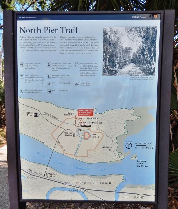
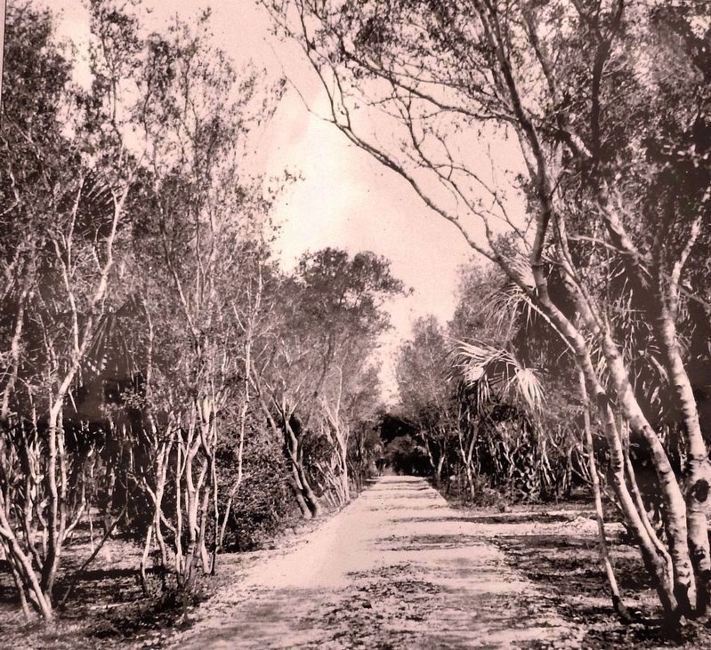
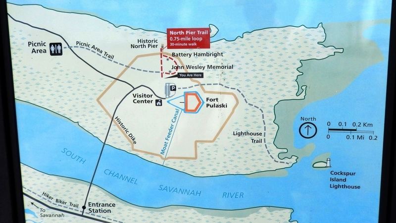
The army prevented trees from growing on the island while they occupied Fort Pulaski. After the military abandoned the fort in the late 1880s, tons of sand and silt dredged from the Savannah River were heaped on the Cockspur Island shoreline. Trees and brush grew on this higher ground and the maritime forest you see before you began to emerge.
Erected by National Park Service, U.S. Department of the Interior.
Topics. This historical marker is listed in these topic lists: Forts and Castles • Parks & Recreational Areas.
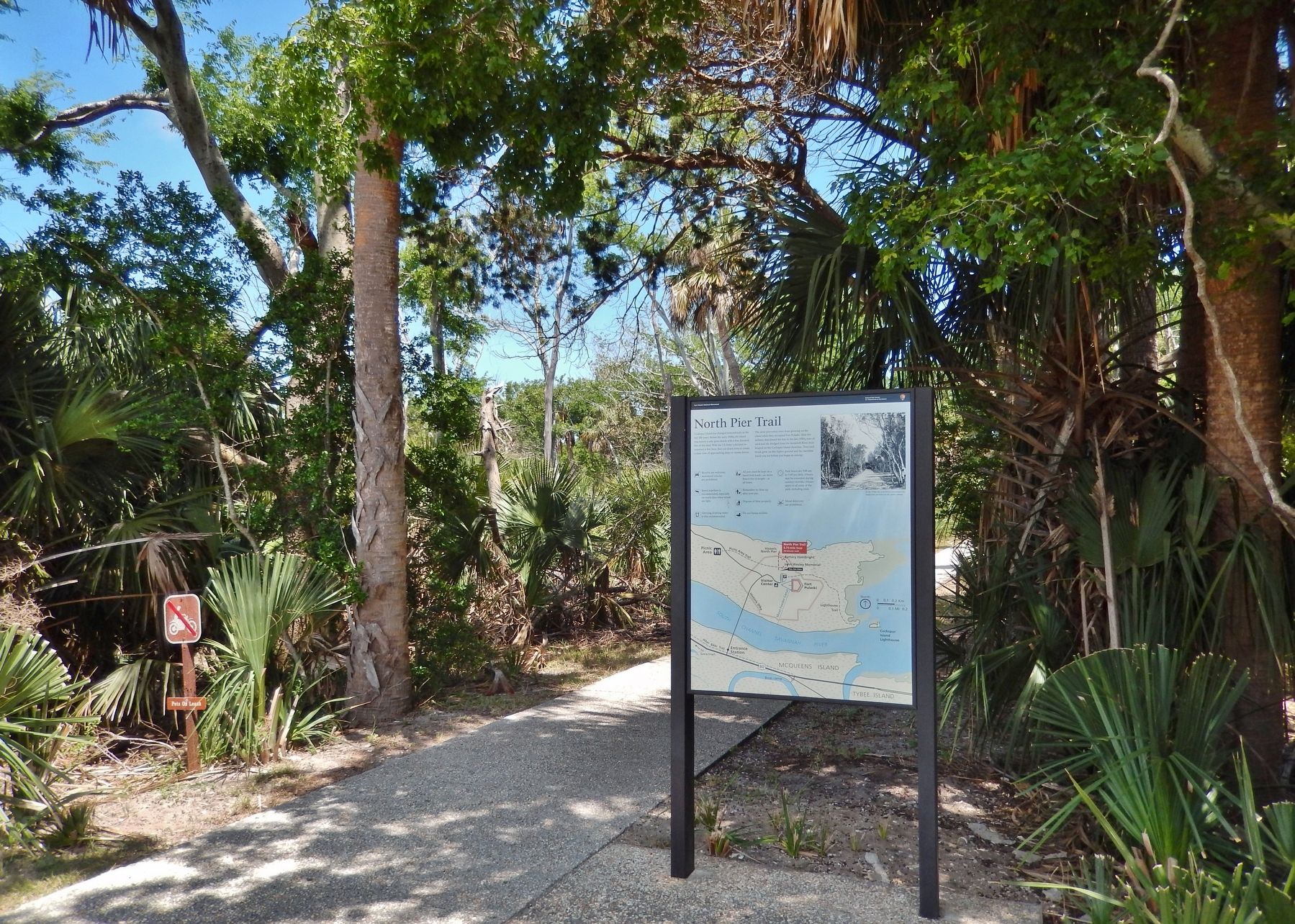
Location. 32° 1.712′ N, 80° 53.546′ W. Marker is near Tybee Island, Georgia, in Chatham County. Marker can be reached from Fort Pulaski Road, one mile north of U.S. 80, on the left. Marker is located at Fort Pulaski National Monument, beside the walkway at the northwest corner of the parking lot. Touch for map. Marker is in this post office area: Tybee Island GA 31328, United States of America. Touch for directions.
Other nearby markers. At least 8 other markers are within walking distance of this marker. John Wesley (about 300 feet away, measured in a direct line); John Wesley Landing Site (about 400 feet away); Cockspur Island Lighthouse (about 400 feet away); A Bustling Village (about 400 feet away); The Waving Girl (about 400 feet away); Cisterns of the Construction Village (about 400 feet away); Final Resting Place (about 400 feet away); Burial Sites of Immortal 600 (about 400 feet away). Touch for a list and map of all markers in Tybee Island.
Credits. This page was last revised on October 20, 2020. It was originally submitted on May 21, 2019, by Cosmos Mariner of Cape Canaveral, Florida. This page has been viewed 185 times since then and 8 times this year. Photos: 1, 2, 3, 4. submitted on May 23, 2019, by Cosmos Mariner of Cape Canaveral, Florida.


