Sandy Row
City Centre
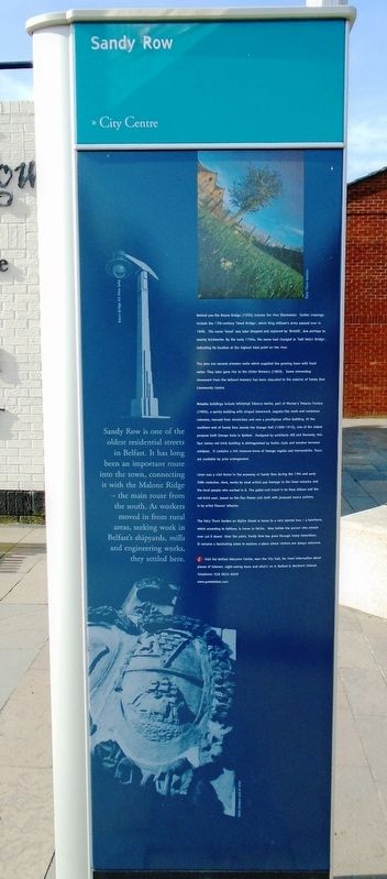
Sandy Row is one of the oldest residential streets in Belfast. It has long been an important route into the town, connecting it with the Malone Ridge — the main route from the south. As workers moved in from rural areas, seeking work in Belfast's shipyards, mills and engineering works, they settled here.
Behind you the Boyne Bridge (1935) crosses the river Blackwater. Earlier crossings include the 17th-century 'Great Bridge', which King William's army passed over in 1690. The name 'Great' was later dropped and replaced by 'Brickill', due perhaps to nearby brickworks. By the early 1700s, the name had changed to 'Salt Water Bridge', indicating its location at the highest tidal point on the river.
The area has several artesian wells which supplied the growing town with fresh water. They later gave rise to the Ulster Brewery (1869). Some interesting stonework from the defunct brewery has been relocated to the exterior of Sandy Row Community Centre.
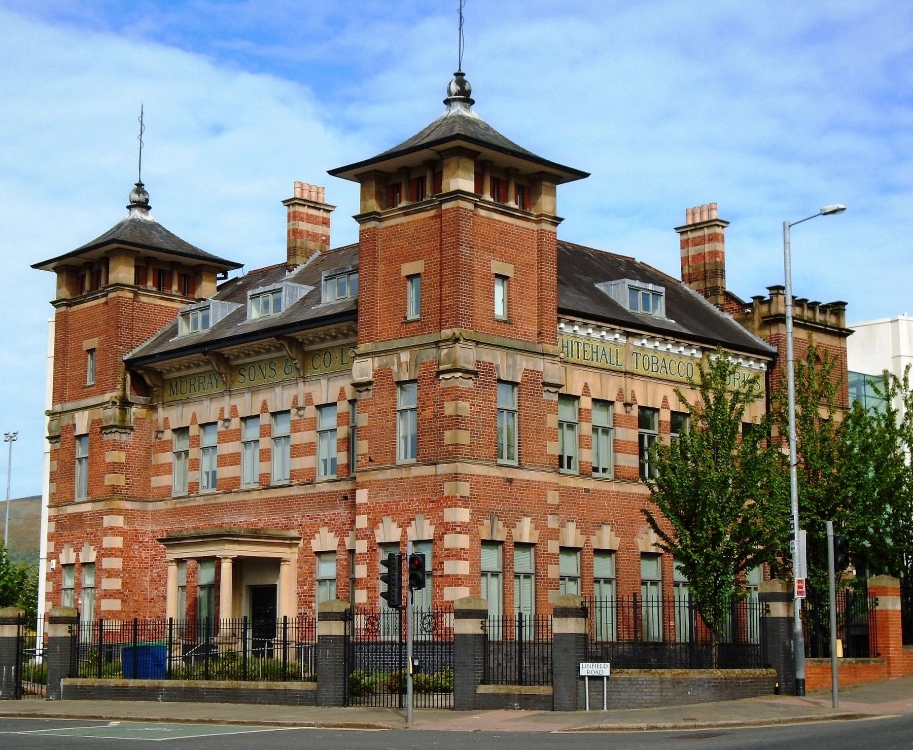
Notable buildings include Whitehall Tobacco Works, part of Murray's Tobacco Factory (1900), a quirky building with striped stonework, pagoda-like roofs and miniature columns, rescued from dereliction and now a prestigious office building. At the southern end of Sandy Row stands the Orange Hall (1909-1910), one of the oldest purpose built Orange halls in Belfast. Designed
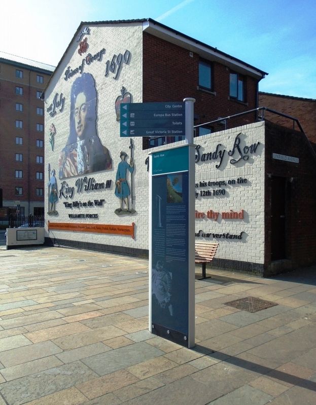
by architects Hill and Kennedy, this four storey red brick building is distinguished by Gothic style and wooden terraced windows. It contains a rich treasure-trove of Orange regalia and memorabilia. Tours are available by prior arrangement.Linen was a vital factor in the economy of Sandy Row during the 19th and early 20th centuries. Here, works by local artists pay homage to the linen industry and the local people who worked in it. The gable-end mural is by Ross Wilson and the red brick seat, based on the flax flower and cloth with Jacquard weave pattern, is by artist Eleanor Wheeler.
The Fairy Thorn Garden on Blythe Street is home to a very special tree - a hawthorn, which according to folklore, is home to fairies. Woe betide the person who should ever cut it down! Over the years, Sandy Row has gone through many transitions. It remains a fascinating place to explore; a place where visitors are always welcome.
[Illustration captions, from top to bottom, read]
• Fairy Thorn Garden
• Boyne Bridge Art Deco Lamp
• Ulster Brewery Coat of Arms
Topics. This historical marker is listed in this topic list: Notable Places. A significant historical year for this entry is 1690.
Location. 54° 35.602′ N, 5° 56.215′ W. Marker is in Belfast, Northern Ireland. Marker is at the intersection of Sandy Row and Linfield Road, on the
Other nearby markers. At least 8 other markers are within walking distance of this marker. Mother Daughter Sister (here, next to this marker); King William III - "King Billy's on the Wall" (a few steps from this marker); Culture (within shouting distance of this marker); History (within shouting distance of this marker); Industry (within shouting distance of this marker); People (within shouting distance of this marker); Buildings & Housing (within shouting distance of this marker); Great Victoria Street (about 150 meters away, measured in a direct line). Touch for a list and map of all markers in Belfast.
Also see . . .
1. Sandy Row at Wikipedia. (Submitted on May 22, 2019, by William Fischer, Jr. of Scranton, Pennsylvania.)
2. Belfast Bass brewery set to close (The Irish Times, 2004). (Submitted on May 22, 2019, by William Fischer, Jr. of Scranton, Pennsylvania.)
Credits. This page was last revised on October 12, 2021. It was originally submitted on May 21, 2019, by William Fischer, Jr. of Scranton, Pennsylvania. This page has been viewed 480 times since then and 52 times this year. Photos: 1, 2, 3, 4. submitted on May 22, 2019, by William Fischer, Jr. of Scranton, Pennsylvania.


