Cumberland Township near Gettysburg in Adams County, Pennsylvania — The American Northeast (Mid-Atlantic)
Reserve Brigade
First Division - Cavalry Corps
— Army of the Potomac —
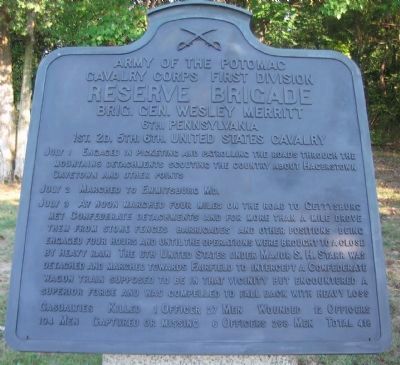
Cavalry Corps First Division
Reserve Brigade
Brig. Gen. Wesley Merritt
6th Pennsylvania
1st. 2d. 5th. 6th. United States Cavalry
July 1 Engaged in picketing and patrolling the roads through the mountains detachments scouting the country about Hagerstown Cavetown and other points.
July 2 Marched to Emmitsburg Md.
July 3 At noon marched four miles on the road to Gettysburg met Confederate detachments and for more than a mile drove them from stone fences, barricades, and other positions being engaged four hours until the operations were brought to a close by heavy rain. The 6th United States under Major S. H. Starr was detached and marched towards Fairfield to intercept a Confederate wagon train supposed to be in that vicinity but encountered a superior force and was compelled to fall back with heavy loss.
Casualties Killed 1 officer 27 men. Wounded 12 officers 104 men. Captured or missing 6 officers 268 men. Total 418.
Erected 1912 by Gettysburg National Military Park Commission.
Topics. This historical marker is listed in this topic list: War, US Civil. A significant historical month for this entry is July 1736.
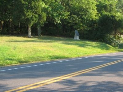
Location. 39° 46.516′ N, 77° 15.859′ W. Marker is near Gettysburg, Pennsylvania , in Adams County. It is in Cumberland Township. Marker is on Emmitsburg Road (Business U.S. 15), on the right when traveling north. Located on the South Cavalry Battlefield section of Gettysburg National Military Park. Touch for map. Marker is in this post office area: Gettysburg PA 17325, United States of America. Touch for directions.
Other nearby markers. At least 8 other markers are within walking distance of this marker. Sixth U.S. Cavalry (a few steps from this marker); Position of the Reserve Brigade (a few steps from this marker); First U.S. Cavalry (about 300 feet away, measured in a direct line); Battery K, First U.S. Artillery (about 300 feet away); Second U.S. Cavalry (about 400 feet away); 1st & 2d Regiments United States Cavalry (approx. 0.2 miles away); 6th Pennsylvania Cavalry (approx. 0.4 miles away); Chaplain Samuel Henry Stein (approx. half a mile away). Touch for a list and map of all markers in Gettysburg.

Photographed By Craig Swain, November 1, 2008
3. Advance of Merritt's Brigade
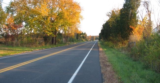
Looking north on the Emmitsburg Road toward the main battlefield area. Merritt's Brigade advanced north on this road in their harassment of the Confederate right flank. Along the road they encountered skirmishers from the 1st Texas Infantry. The Texans were later reinforced by parts of the 9th Georgia and Hart's Battery of artillery. Merritt's plan was to deploy his men in a dismounted skirmish order to the west of the Emmitsburg Road, which he hoped would force the Confederates to over extend their lines.
Credits. This page was last revised on February 26, 2023. It was originally submitted on November 8, 2008, by Craig Swain of Leesburg, Virginia. This page has been viewed 911 times since then and 10 times this year. Photos: 1, 2, 3. submitted on November 8, 2008, by Craig Swain of Leesburg, Virginia.

