Near Columbia Station in Lorain County, Ohio — The American Midwest (Great Lakes)
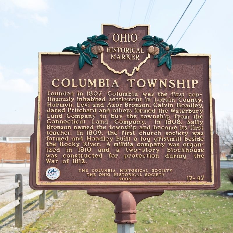
Columbia Township
Photographed by J. J. Prats, April 6, 2019
1. Columbia Township Marker
Erected 2003 by the Columbia Historical Society and The Ohio Historical Society. (Marker Number 17-47.)
Topics and series. This historical marker is listed in these topic lists: Political Subdivisions • Settlements & Settlers. In addition, it is included in the Ohio Historical Society / The Ohio History Connection series list. A significant historical year for this entry is 1807.
Location. 41° 18.774′ N, 81° 55.642′ W. Marker is near Columbia Station, Ohio, in Lorain County. It is on Royalton Road (Ohio Route 82) west of West River Road (County Route 60), on the
this page online

Regionally, this marker is in Greater Cleveland, on the Lake Erie Shore, and in the Western Reserve. It is also in the American Midwest. Globally, it is in North America, on the Great Lakes, in the Western Hemisphere, in the Western World, and in the Anglosphere. Historically, it finds itself in what was once the Haudenosaunee (Iroquois) Confederacy, the territory of the Mississippian Culture, and the Northwest Territory.
Other nearby markers. At least 8 other markers are within 5 miles of this marker, measured as the crow flies: Columbia Baptist Church (about 500 feet away, measured in a direct line); Columbia United Methodist Church (approx. 0.2 miles away); Olmsted Falls L.S. & M.S. Depot (approx. 4.4 miles away); Veterans Memorial (approx. 4.7 miles away); Captain Charles A. Harding (approx. 4.7 miles away); Olmsted Falls World War II Memorial (approx. 4.7 miles away);
Photographed by J. J. Prats, April 6, 2019
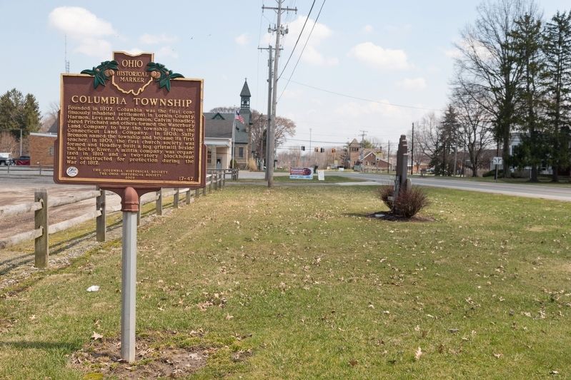
2. Columbia Township Marker
The traffic light in the distance is for West River Road.
Also see . . . History of the Township. “Early development in the Township was encouraged by the construction of Wooster Road and Montgomery Road in the 1820’s and by the construction and extension of several railroad lines beginning in the 1840’s. The railroad lines also prompted the founding of two commuter communities, Madeira and Terrace Park.” (Submitted on May 23, 2019, by J. J. Prats of Powell, Ohio.)
Photographed by J. J. Prats, April 6, 2019
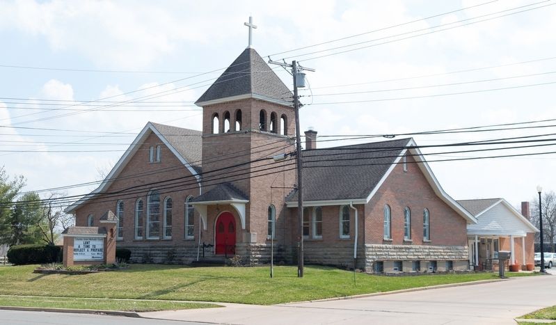
3. Columbia United Methodist Church, Columbia Station Ohio
Photographed by J. J. Prats, April 6, 2019
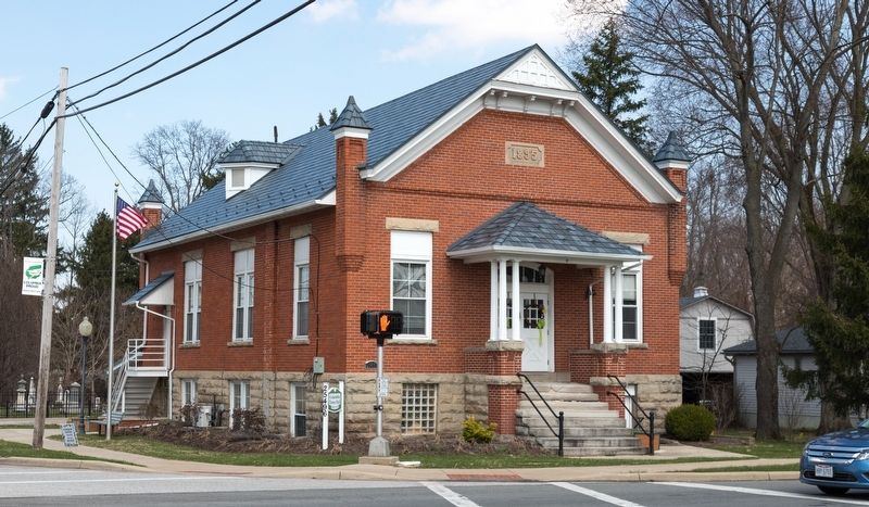
4. Columbia Township Town Hall, Columbia Station Ohio
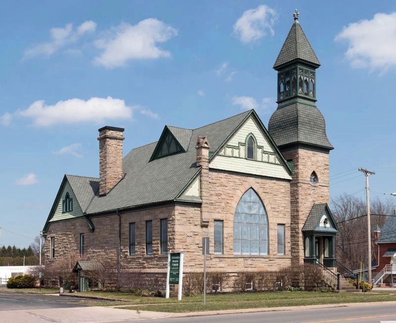
Photographed by J. J. Prats, April 6, 2019
5. Columbia Baptist Church, Columbia Station Ohio
The cornerstone reads “First Baptist Church, organized A.D. 1832. This edifice erected A.D. 1900.”
Credits. This page was last revised on May 23, 2019. It was originally submitted on May 23, 2019, by J. J. Prats of Powell, Ohio. This page has been viewed 1,139 times since then and 111 times this year. Photos: 1, 2, 3, 4, 5. submitted on May 23, 2019, by J. J. Prats of Powell, Ohio.
