Arlington Ridge in Arlington County, Virginia — The American South (Mid-Atlantic)
Hume School
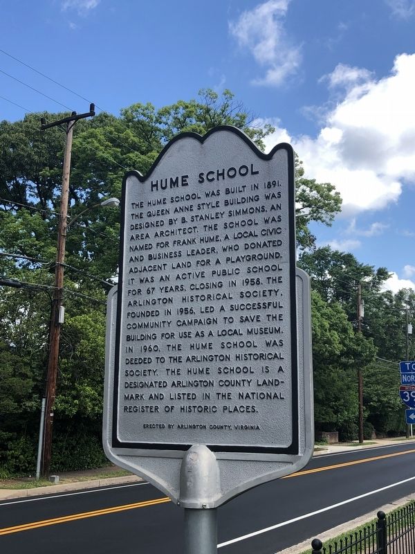
The Hume School was built in 1891. The Queen Anne style building was designed by B. Stanley Simmons, an area architect. The school was named for Frank Hume, a local civic and business leader, who donated adjacent land for a playground. It was an active public school for 67 years, closing in 1958. The Arlington Historical Society, founded in 1956, led a successful community campaign to save the building for use as a local museum. In 1960, the Hume School was deeded to the Arlington Historical Society. The Hume School is a designated Arlington County Landmark and listed in the National Register of Historic Places.
Erected by Arlington County, Virginia.
Topics. This historical marker is listed in these topic lists: Architecture • Education. A significant historical year for this entry is 1891.
Location. 38° 51.524′ N, 77° 4.067′ W. Marker is in Arlington, Virginia, in Arlington County. It is in Arlington Ridge. It is on South Arlington Ridge Road 0.1 miles north of 19th Street South, on the right when traveling north. Touch for map. Marker is at or near this postal address: 1801 South Arlington Ridge Road, Arlington
this page online

Regionally, this marker is in the Washington Metropolitan Area and in Northern Virginia. It is also in the American South, specifically in the Upper South, in the Mid-Atlantic, and on the Eastern Seaboard. Globally, it is in the North Atlantic Region, North America, the Western Hemisphere, the Western World, and the Anglosphere. Historically, it finds itself in what was once the territory of the Mississippian Culture, one of the original Thirteen Colonies, one of the Confederate States of America, and the Antebellum South.
Other nearby markers. At least 8 other markers are within walking distance of this marker: Mount Olive Baptist Church (approx. 0.3 miles away); Albert I. Cassell (approx. 0.4 miles away); George Washington Carver Cooperative Apartments (approx. 0.4 miles away); Fort Albany (approx. half a mile away); Prospect Hill (approx. half a mile away); History of Bocce Ball (approx. half a mile away); Selina Gray (approx. half a mile away); Fort Richardson (approx. half a mile away). Touch for a list and map of all markers in Arlington.
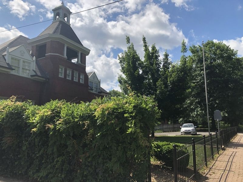
Photographed by Devry Becker Jones (CC0), May 27, 2019
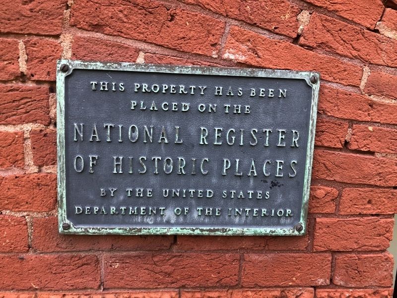
3. National Register of Historic Places plaque on the building
Credits. This page was last revised on January 27, 2026. It was originally submitted on May 27, 2019, by Devry Becker Jones of Washington, District of Columbia. This page has been viewed 565 times since then and 26 times this year. Photos: 1, 2, 3. submitted on May 27, 2019, by Devry Becker Jones of Washington, District of Columbia.
Editor’s want-list for this marker. A link to the National Register nomination form, citing the building's historical significance. • Can you help?
