Cumberland Township near Gettysburg in Adams County, Pennsylvania — The American Northeast (Mid-Atlantic)
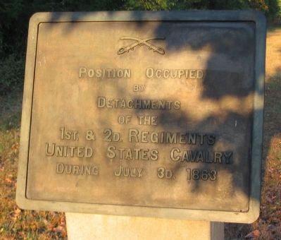
1st & 2d Regiments United States Cavalry
Inscription.
by
Detachments
of the
1st. & 2d. Regiments
United States Cavalry
During July 3d. 1863
Erected 1907 by Gettysburg National Military Park Commission.
Topics. This memorial is listed in this topic list: War, US Civil. A significant historical date for this entry is July 3, 1917.
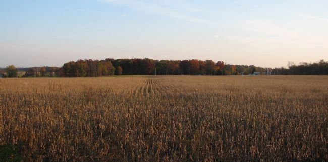
Location. 39° 46.636′ N, 77° 15.926′ W. Marker is near Gettysburg, Pennsylvania, in Adams County. It is in Cumberland Township. Memorial can be reached from Emmitsburg Road (Business U.S. 15), on the right when traveling south. Located on the South Cavalry Battlefield section of Gettysburg National Military Park, off an unnamed and unpaved park road. Touch for map. Marker is in this post office area: Gettysburg PA 17325, United States of America. Touch for directions.
Other nearby markers. At least 8 other markers are within walking distance of this marker. Position of the Reserve Brigade (about 800 feet away, measured in a direct line); Sixth U.S. Cavalry (about 800 feet away); Reserve Brigade (approx. 0.2 miles away); Battery K, First U.S. Artillery (approx. 0.2 miles away); First U.S. Cavalry (approx. 0.2 miles away); Second U.S. Cavalry (approx. 0.2 miles away); 6th Pennsylvania Cavalry (approx. 0.3 miles away); Chaplain Samuel Henry Stein (approx. 0.4 miles away). Touch for a list and map of all markers in Gettysburg.
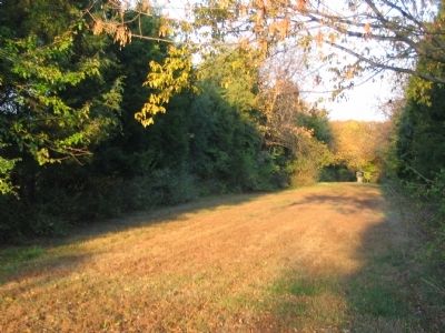
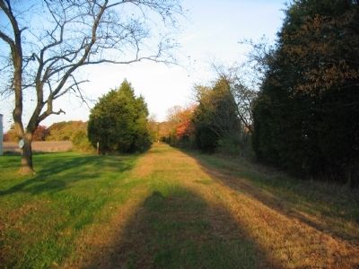
More about this marker. Best reached by parking at the main South Cavalry Battlefield pulloff, then walking north to the unnamed road. It was at one time called "Merritt Avenue".
Credits. This page was last revised on February 7, 2023. It was originally submitted on November 9, 2008, by Craig Swain of Leesburg, Virginia. This page has been viewed 1,384 times since then and 10 times this year. Photos: 1, 2, 3, 4. submitted on November 9, 2008, by Craig Swain of Leesburg, Virginia.


