Tehachapi in Kern County, California — The American West (Pacific Coastal)
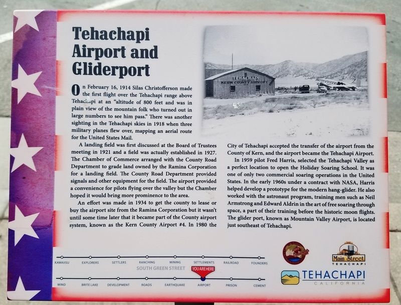
Tehachapi Airport and Gliderport
A landing field was first discussed at the Board of Trustees meeting in 1921 and a field was actually established in 1927. The Chamber of Commerce arranged with the County Road Department to grade land owned by the Ramina Corporation for a landing field. The County Road Department provided signals and other equipment for the field. The airport provided a convenience for pilots flying over the valley but the Chamber hoped it would bring more prominence to the area.
An effort was made in 1934 to get the county to lease or buy the airport site from the Ramina Corporation but it wasn’t until some time later that it became part of the County airport system, known as the Kern County Airport #4. In 1980 the City of Tehachapi accepted the transfer of the airport from the County of Kern, and the airport became the Tehachapi Airport.
In 1959 pilot Fred Harris, selected the Tehachapi Valley as a perfect location to open the Holiday Soaring School. It was one of only two commercial soaring operations in the United States. In the early 1960s under a contract with NASA, Harris helped develop a prototype for the modern hang-glider. He also worked with the astronaut program, training men such as Neil Armstrong and Edward Aldrin in the art of free soaring through space, a part of their training before the historic moon flights. The glider port, known as Mountain Valley Airport, is located just southeast of Tehachapi.
Erected by Main Street Tehachapi, Tehachapi Heritage League and The City of Tehachapi.
Topics. This historical marker is listed in this topic list: Air & Space. A significant historical date for this entry is February 16, 1914.
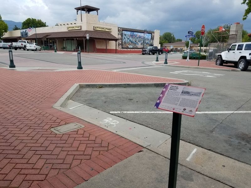
Location. 35° 7.866′ N, 118° 26.856′ W. Marker is in Tehachapi, California, in Kern County. Marker is at the intersection of Green Street and F Street, on the right when traveling north on Green Street. Touch for map. Marker is at or near this postal address: 122 S Green St, Tehachapi CA 93561, United States of America. Touch for directions.
Other nearby markers. At least 8 other markers are within walking distance of this marker. Early Settlements in The Tehachapi Area (a few steps from this marker); Monolith (within shouting distance of this marker); The Women's Prison in Tehachapi - 1932 (within shouting distance of this marker); What a Shock! The 1952 Earthquake (within shouting distance of this marker); Hitching Post Theatre (within shouting distance of this marker); People of the Mountains (within shouting distance of this marker); Site of Bank of Tehachapi (within shouting distance of this marker); The Railroad and the Tehachapi Loop (within shouting distance of this marker). Touch for a list and map of all markers in Tehachapi.
Credits. This page was last revised on October 26, 2022. It was originally submitted on May 27, 2019, by Denise Boose of Tehachapi, California. This page has been viewed 318 times since then and 16 times this year. Photos: 1, 2, 3. submitted on May 27, 2019, by Denise Boose of Tehachapi, California. • Andrew Ruppenstein was the editor who published this page.


