Refugio in Refugio County, Texas — The American South (West South Central)
Yucatan Soldiers' Burial Site
General Jose Urrea, governor of his native state of Durango, Mexico, was dispatched northeastward early in 1836 by Dictator Antonio Lopez de Santa Anna, to fight against the Texas colonists in their uprising for independence. Because of his superior numbers, he won easy victories at and near the town of San Patricio (about 40 miles southwest of here).
When he reached mission Nuestra Senora del Refugio, his troops (comprised mainly of non-Spanish-speaking Yucatanians who had been pressed into fighting by Santa Anna) met heavy resistance from the Refugio townsmen, and Urrea lost many men in action.
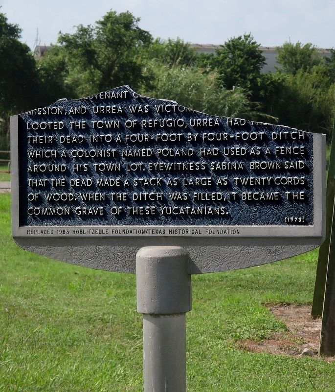
Later, the Texas volunteers under Captain Amon B. King and Lieutenant Colonel William Ward left the Mission, and Urrea was victorious. After his men looted the town of Refugio, Urrea had them drag their dead into a four-foot by four-foot ditch which a colonist named Poland had used as a fence around his town lot. Eyewitness Sabina Brown said that the dead made a stack as large as twenty cords of wood. When the ditch was filled, it became the common grave of these Yucatanians.
(incise) Replaced 1983 Hoblitzelle Foundation/Texas Historical Foundation
Erected 1973 by Texas Historical Commission. (Marker Number 5934.)
Topics. This historical marker is listed in these topic lists: Cemeteries & Burial Sites • War, Texas Independence. A significant historical year for this entry is 1836.
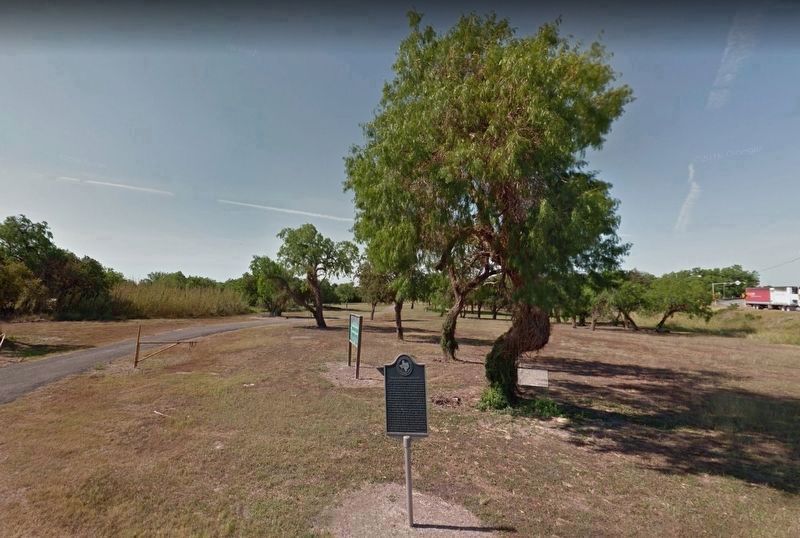
Location. 28° 17.628′ N, 97° 16.608′ W. Marker has been damaged. Marker is in Refugio, Texas, in Refugio County. Marker is on East Roca Street east of South Alamo Street (U.S. 77), on the right when traveling east. Touch for map. Marker is in this post office area: Refugio TX 78377, United States of America. Touch for directions.
Other nearby markers. At least 8 other markers are within walking distance of this location. Our Lady of Refuge Catholic Church (within shouting distance of this marker); Site of Mission Nuestra Señora del Refugio (within shouting distance of this marker); Dennis M. O'Connor Public Library (approx. 0.2 miles away); Sally Scull (approx. 0.2 miles away); Empresario James Power (approx. 0.2 miles away); Refugio County (approx. 0.2 miles away); Refugio County Courthouses (approx. 0.2 miles away); King and his Men (approx. 0.2 miles away). Touch for a list and map of all markers in Refugio.
More about this marker. Marker was severely damaged by hurricane Harvey, and is in storage. The post is all that stands at the location now. The town historical people are working to have it replaced.
Also see . . . Officials work to restore historical markers damaged by Harvey. Victoria Advocate (3/14/18) (Submitted on May 13, 2019.)
Credits. This page was last revised on May 28, 2019. It was originally submitted on May 9, 2019, by Jim Evans of Houston, Texas. This page has been viewed 467 times since then and 48 times this year. Last updated on May 28, 2019, by Jim Evans of Houston, Texas. Photos: 1. submitted on May 25, 2019, by Jim Evans of Houston, Texas. 2. submitted on May 9, 2019, by Jim Evans of Houston, Texas. • Andrew Ruppenstein was the editor who published this page.

