Near Woolwine in Patrick County, Virginia — The American South (Mid-Atlantic)
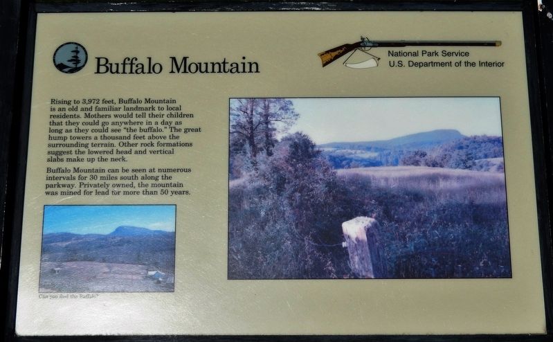
Buffalo Mountain
Photographed by Cosmos Mariner, May 15, 2019
1. Buffalo Mountain Marker
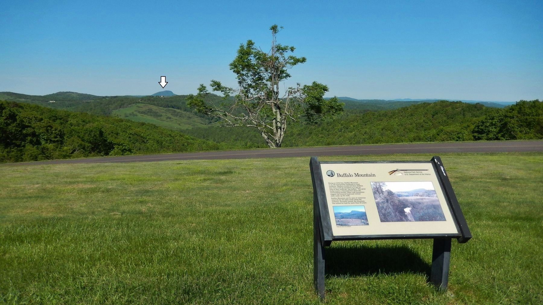
Buffalo Mountain can be seen at numerous intervals for 30 miles south along the parkway. Privately owned, the mountain was mined for lead for more than 50 years.
Erected by National Park Service, U.S. Department of the Interior.
Topics and series. This historical marker is listed in this topic list: Landmarks. In addition, it is included in the Blue Ridge Parkway series list.
Location. 36° 49.381′ N, 80° 20.513′ W. Marker is near Woolwine, Virginia, in Patrick County. It is on Blue Ridge Parkway (at milepost 168), 2.8 miles south of Parkway Lane South (Virginia Route 8), on the left when traveling south. Marker is located at The Saddle Overlook on the Blue Ridge Parkway. Touch for map. Marker is in this post office
this page online

Regionally, this marker is in Southern Virginia and in the Blue Ridge Highlands. It is also in the American South, specifically in the Upper South, in Appalachia, and specifically in Southern Appalachia. Globally, it is in North America, the Western Hemisphere, the Western World, and the Anglosphere. Historically, it finds itself in what was once the territory of the Mississippian Culture, one of the original Thirteen Colonies, one of the Confederate States of America, and the Antebellum South.
Other nearby markers. At least 8 other markers are within 6 miles of this marker, measured as the crow flies: Rock Castle Gorge (approx. 0.8 miles away); America's Rural Landscape (approx. 0.9 miles away); Rakes Mill Pond (approx. 4.3 miles away); Dehart Homeplace (approx. 4.7 miles away); Our Historic Covered Bridges (approx. 5½ miles away); Jacks Creek Covered Bridge (approx. 5½ miles away); a different marker also named Jack's Creek Covered Bridge (approx. 5.6 miles away); Floyd County Veterans Memorial (approx. 5.9 miles away). Touch for a list and map
Photographed by Cosmos Mariner, May 15, 2019
2. Buffalo Mountain Marker (wide view • Blue Ridge Parkway & Buffalo Mountain in background)
Credits. This page was last revised on May 30, 2019. It was originally submitted on May 30, 2019, by Cosmos Mariner of Cape Canaveral, Florida. This page has been viewed 845 times since then and 48 times this year. Photos: 1, 2. submitted on May 30, 2019, by Cosmos Mariner of Cape Canaveral, Florida.
