Roanoke, Virginia — The American South (Mid-Atlantic)
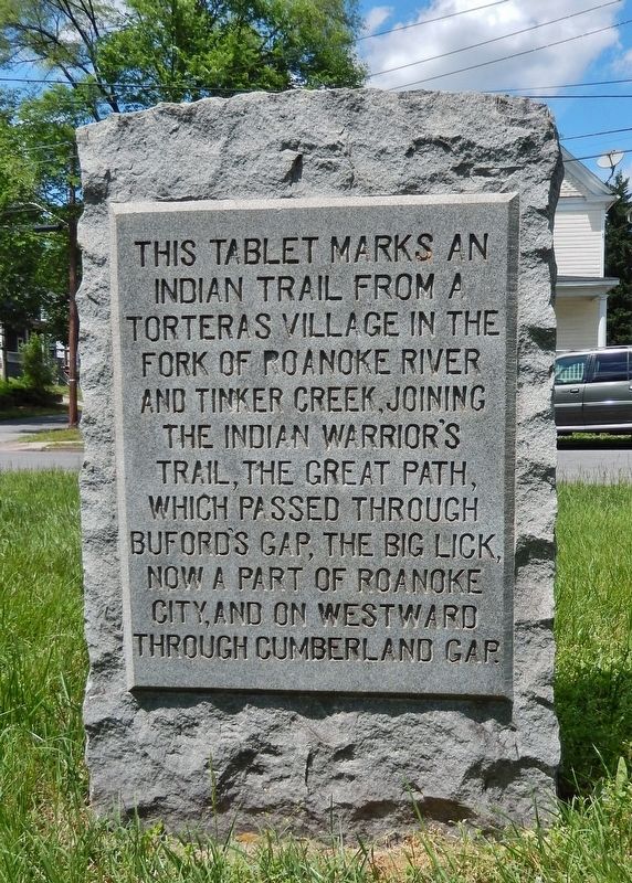
Torteras Village Indian Trail
Topics. This historical marker is listed in this topic list: Native Americans.
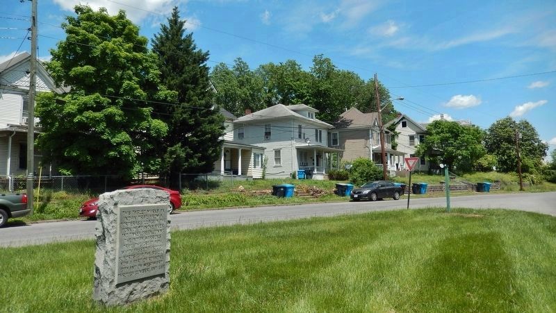
Location. 37° 16.177′ N, 79° 57.631′ W. Marker is in Roanoke, Virginia. Marker is at the intersection of Riverside Boulevard Southwest and 11th Street Southwest, on the right when traveling west on Riverside Boulevard Southwest. Marker is located in a small triangular plaza bounded by Riverside Boulevard, 11th Street and Ferdinand Avenue. Touch for map. Marker is in this post office area: Roanoke VA 24016, United States of America. Touch for directions.
Other nearby markers. At least 8 other markers are within walking distance of this marker. James Alexander Tract Boundary (about 400 feet away, measured in a direct line); Roanoke Memorial Bridge (approx. 0.4 miles away); Birthplace of Henrietta Lacks (approx. 0.4 miles away); 511 Day Ave SW (approx. half a mile away); Panama Canal Mule No. 686 (approx. ¾ mile away); Mead Corporation Industrial Locomotive #200 (approx. ¾ mile away); Virginian Railway Class C-10 Caboose #321 (approx. ¾ mile away); Roanoke Life Saving and First Aid Crew (approx. ¾ mile away). Touch for a list and map of all markers in Roanoke.
Also see . . . Great Indian Warpath (Wikipedia). The Great Indian Warpath—also known as the Great Indian War and Trading Path, or the Seneca Trail—was that part of the network of trails in eastern North America developed and used by Native Americans which ran through the Great Appalachian Valley. (Submitted on May 30, 2019, by Cosmos Mariner of Cape Canaveral, Florida.)
Credits. This page was last revised on February 1, 2023. It was originally submitted on May 30, 2019, by Cosmos Mariner of Cape Canaveral, Florida. This page has been viewed 326 times since then and 44 times this year. Photos: 1, 2. submitted on May 30, 2019, by Cosmos Mariner of Cape Canaveral, Florida.

