World Trade Center in Manhattan in New York County, New York — The American Northeast (Mid-Atlantic)
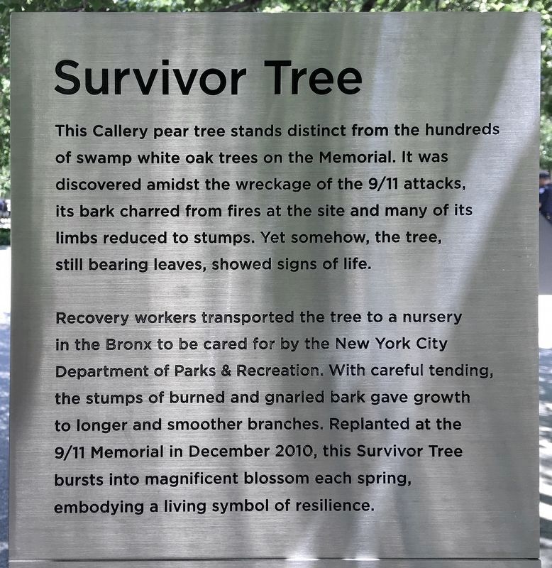
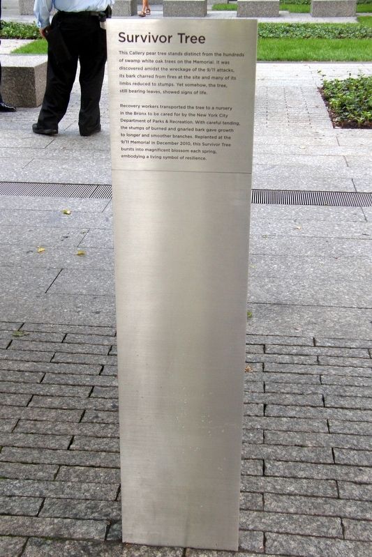
Survivor Tree
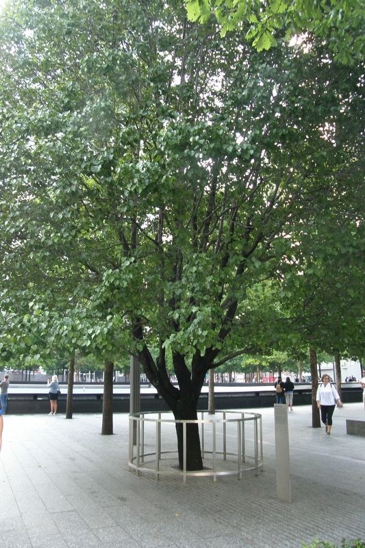
This Callery pear tree stands distant from the hundreds of swamp white oak trees on the Memorial. It was discovered amidst the wreckage of the 9/11 attacks, its bark charred from fires at the site and many of its limbs reduced to stumps. Yet somehow, the tree, still bearing leaves, showed signs of life.
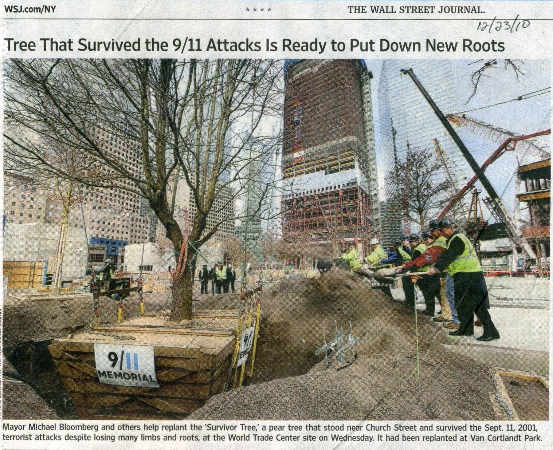
Recovery workers transported the tree to a nursery in the Bronx to be cared for by the New York City Department of Parks & Recreation. With careful tending, the stumps of burned and gnarled bark gave growth to longer and smoother branches. Replanted at the 9/11 Memorial in December 2010, this Survivor Tree bursts into magnificent blossom each spring, embodying a living symbol of resilience.
Topics and series. This historical marker is listed in these topic lists: Disasters • Horticulture & Forestry. In addition, it is included in the Historic Trees series list. A significant historical month for this entry is December 2010.
Location. 40° 42.672′ N, 74° 0.811′ W. Marker is in Manhattan, New York, in New York County. It is in World Trade Center. Marker can be reached from West Street near Liberty Street, on the right when traveling north. Touch for map. Marker is in this post office area: New York NY 10006, United States of America. Touch for directions.
Other nearby markers. At least 8 other markers are within walking distance of this marker. Memorial Glade (within shouting distance of this marker); World Trade Center (within shouting distance of this marker); Koenig Sphere (about 300 feet away, measured in a direct line); America’s Response Monument (about 300 feet away); a different marker also named America's Response Monument (about 300 feet away); First Responder Memorial Garden (about 400 feet away); Anne Frank Tree (about 500 feet away); 343 (about 500 feet away). Touch for a list and map of all markers in Manhattan.
Credits. This page was last revised on December 30, 2023. It was originally submitted on May 31, 2019, by Larry Gertner of New York, New York. This page has been viewed 336 times since then and 37 times this year. Photos: 1. submitted on June 4, 2022, by Craig Baker of Sylmar, California. 2, 3, 4. submitted on May 31, 2019, by Larry Gertner of New York, New York. • Andrew Ruppenstein was the editor who published this page.


