Middleburg in Loudoun County, Virginia — The American South (Mid-Atlantic)
The Battle Begins: Fighting East and Southeast of Mt. Defiance
Battle of Middleburg/Mt. Defiance
Inscription.
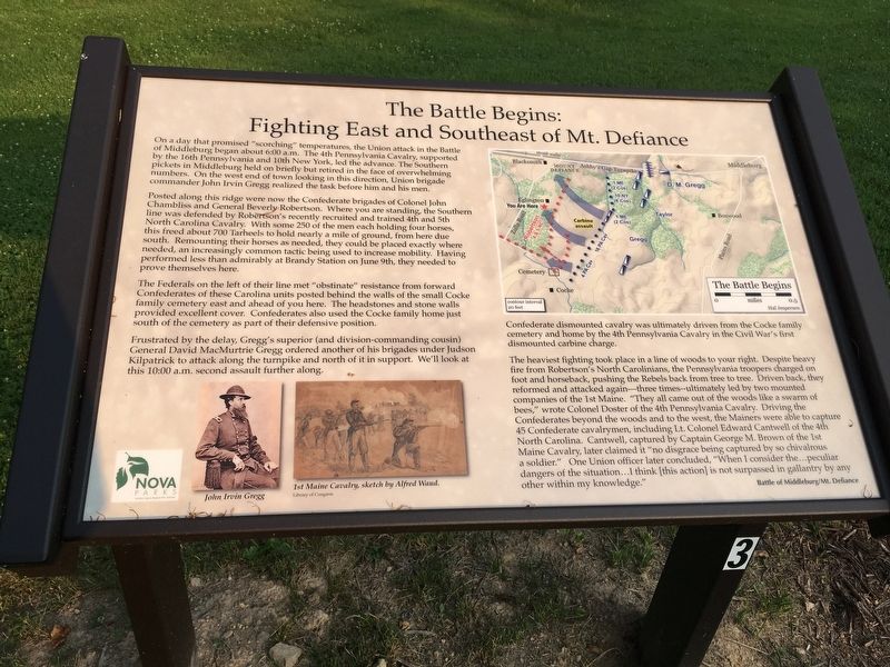
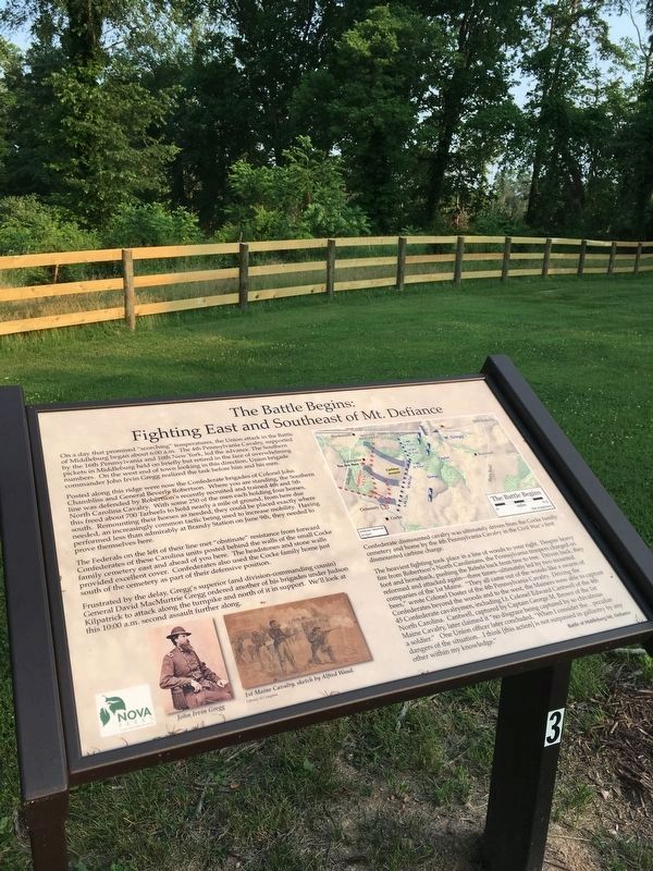
On a day that promised “scorching” temperatures, the Union attack in the Battle of Middleburg began about 6:00 a.m. The 4th Pennsylvania Cavalry, supported by the 16th Pennsylvania and 10th New York, led the advance. The Southern pickets in Middleburg held on briefly but retired in the face of overwhelming numbers. On the west end of town looking in this direction, Union brigade commander John Irvin Gregg realized the task before him and his men.
Posted along this ridge were now the Confederate brigades of Colonel John Chambliss and General Beverly Robertson. Where you are standing, the Southern line was defended by Robertson’s recently recruited and trained 4th and 5th North Carolina Cavalry. With some 250 of the men each holding four horses, this freed about 700 Tarheels to hold nearly a mile of ground, from here due south. Remounting their horses as needed, they could be placed exactly where needed, an increasingly common tactic being used to increase mobility. Having performed less than admirably at Brandy Station on June 9th, they needed to prove themselves here.
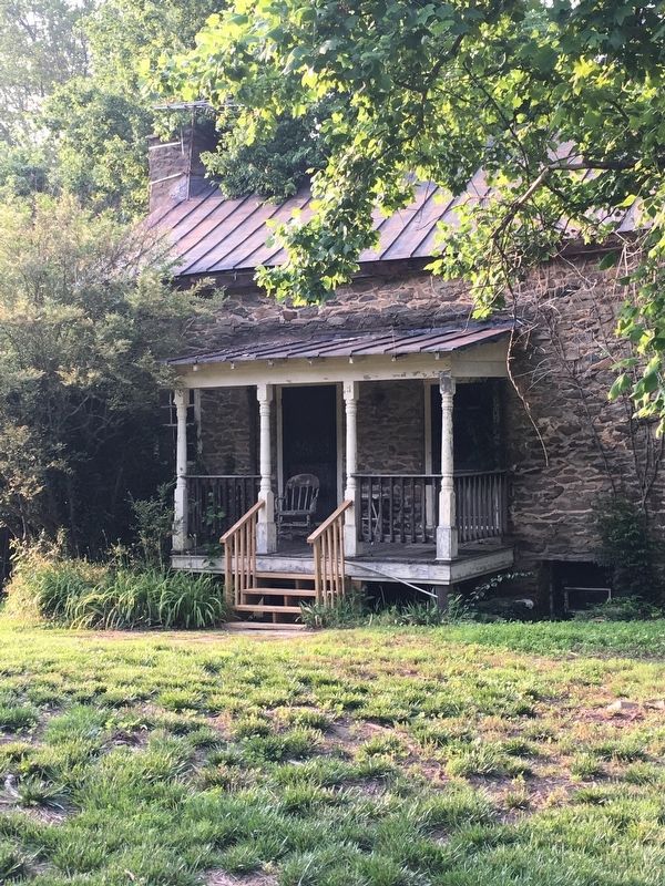
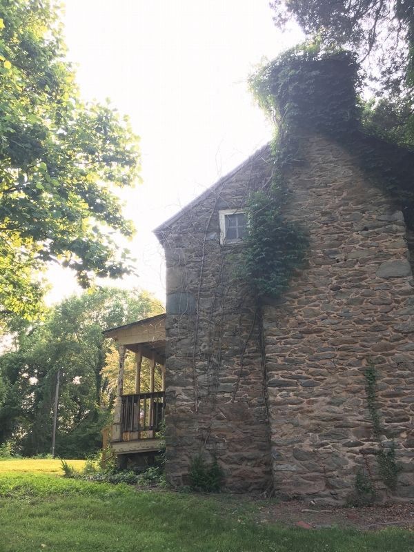
The Federals on the left of their line met “obstinate” resistance from forward Confederates of these Carolina units posted behind the walls of the small Cocke family cemetery east and ahead of you here. The headstones and stone walls provided excellent cover. Confederates also used the Cocke family home just south of the cemetery as part of their defensive position.
Frustrated by the delay, Gregg’s superior (and division-commanding cousin) General David MacMurtrie Gregg ordered another of his brigades under Judson Kilpatrick to attack along the turnpike and north of it in support. We’ll look at this 10:00 a.m. second assault further along.
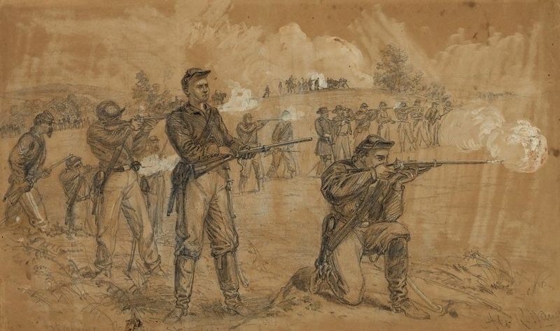
Confederate dismounted cavalry was ultimately driven from the Cocke family cemetery and home by the 4th Pennsylvania Cavalry in the Civil War’s first dismounted carbine charge.
The heaviest fighting took place in a line of woods to your right. Despite heavy fire from Robertson’s North Carolinians, the Pennsylvania troopers charged on foot and horseback, pushing the Rebels back from tree to tree. Driven back, they reformed and attacked again—three times—ultimately led by two mounted companies of the 1st Maine. “They all came out of the woods like a swarm of bees,” wrote Colonel Doster of the 4th Pennsylvania Cavalry. Driving the Confederates beyond the woods and to the west, the Mainers were able to capture 45 Confederate cavalrymen, including Lt. Colonel Edward Cantwell of the 4th North Carolina. Cantwell, captured by Captain George M. Brown of the 1st Maine Cavalry, later claimed it “no disgrace being captured by so chivalrous a soldier.” One Union officers later concluded, “When I consider the…peculiar dangers of the situation…I think [this action] is not surpassed in gallantry by any other within my knowledge.”
Erected 2019 by NOVA Parks. (Marker Number 3.)
Topics and series. This historical marker is listed in this topic list: War, US Civil. In addition, it is included in the NOVA Parks series list. A significant historical date for this entry is June 19, 1863.
Location. 38° 58.025′ N, 77° 45.738′ W. Marker is in Middleburg, Virginia, in Loudoun County. Marker can be reached from John Mosby Highway (U.S. 50) west of Zulla Road (Virginia Route 709), on the left when traveling west. Battle of Middleburg | Mt. Defiance Historic Park. Touch for map. Marker is at or near this postal address: 35945 John Mosby Highway, Middleburg VA 20117, United States of America. Touch for directions.
Other nearby markers. At least 8 other markers are within walking distance of this marker. The Prussian Warrior Heros Von Borcke Goes Down (within shouting distance of this marker); Horse Artillery at Mt. Defiance (within shouting distance of this marker); Mount Defiance (within shouting distance of this marker); a different marker also named Mount Defiance (about 300 feet away, measured in a direct line); Mt. Defiance, the Turnpike, and Middleburg (about
300 feet away); Phase Two of the Battle: Fighting Along the Turnpike (about 300 feet away); The Battle Concludes: Buford's Flanking Movement & Stuart's Withdrawal (about 500 feet away); Battle of Middleburg (approx. 0.3 miles away). Touch for a list and map of all markers in Middleburg.
More about this marker.
(captions)
John Irvin Gregg
1st Maine Cavalry, sketch by Alfred Waud Library of Congress
The Battle Begins Map
Also see . . . Battle of Middleburg: Mt. Defiance Historic Park. NOVA Parks (Submitted on June 3, 2019.)
Credits. This page was last revised on June 14, 2020. It was originally submitted on June 2, 2019, by T. Elizabeth Renich of Winchester, Virginia. This page has been viewed 260 times since then and 23 times this year. Photos: 1, 2, 3, 4. submitted on June 2, 2019, by T. Elizabeth Renich of Winchester, Virginia. 5. submitted on June 3, 2019. • Bernard Fisher was the editor who published this page.
