Middleburg in Loudoun County, Virginia — The American South (Mid-Atlantic)
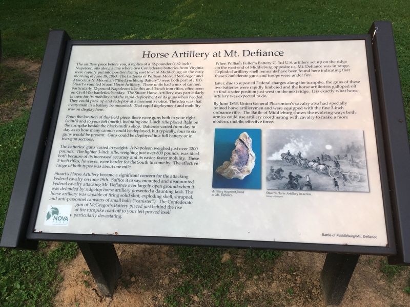
Horse Artillery at Mt. Defiance
Battle of Middleburg/Mt. Defiance
Photographed by T. Elizabeth Renich, June 1, 2019
1. Horse Artillery at Mt. Defiance Marker
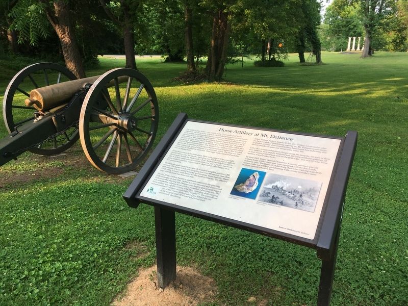
The artillery piece before you, a replica of a 12-pounder (4.62 inch) Napoleon, sits along a line where two Confederate batteries from Virginia were rapidly put into position facing east toward Middleburg on the early morning of June 19, 1862. The batteries of William Morrell McGregor and Marcellus N. Moorman (“the Lynchburg Battery”) were both part of J.E.B. Stuart’s vaunted Stuart Horse Artillery. These units had a mix of cannon, particularly 12-pound Napoleons like this and 3-inch iron rifles, often seen on Civil War battlefields today. The Stuart Horse Artillery was particularly known for its mobility and the rapid deployment of its guns when needed. They could pack up and redeploy at a moment’s notice. The idea was that every man in a battery be mounted. That rapid deployment and mobility was on display here.
From the location of this field piece, there were guns both to your right (south) and to your left (north), including one 3-inch rifle placed right on the turnpike beside the blacksmith’s shop. Batteries varied from day to day as to how many cannon could be deployed, but typically, four to six
this page online
The batteries’ guns varied in weight. A Napoleon weighed just over 1200 pounds. The lighter 3-inch rifle, weighing just over 800 pounds, was ideal both because of its increased accuracy and its easier, faster mobility. These 3-inch rifles, however, were harder for the South to come by. The effective range of both types was about one mile.
Stuart’s Horse Artillery became a significant concern for the attacking Federal cavalry on June 19th. Suffice it to say, mounted and dismounted Federal cavalry attacking Mt. Defiance over largely open ground when it was defended by ridgetop horse artillery presented a daunting task. The horse artillery was capable of firing solid shot, exploding shell, shrapnel, and anti-personnel canisters of small balls (“canister”). The Confederate gun of McGregor’s Battery placed just behind the rise of the turnpike road off to your left proved itself particularly devastating.
When William Fuller’s Battery C, 3rd U.S. artillery set up on the ridge on the west end of Middleburg opposite us, Mt. Defiance was
Photographed by T. Elizabeth Renich, June 1, 2019
2. Replica 12-Pounder Napoleon
Later, due to repeated Federal charges along the turnpike, the guns of these two batteries were rapidly limbered and the horse artillerists galloped off to find a safer position just west on the next ridge. It is exactly what horse artillery was expected to do.
By June 1863, Union General Pleasonton’s cavalry also had specially trained horse artillerymen and were equipped with the fine 3-inch ordnance rifle. The Battle of Middleburg shows the evolving ways both armies could use artillery coordinating with cavalry to make a more modern, mobile, effective force.
Erected 2019 by NOVA Parks. (Marker Number 4.)
Topics and series. This historical marker is listed in this topic list: War, US Civil. In addition, it is included in the NOVA Parks series list. A significant historical date for this entry is June 19, 1863.
Location. 38° 58.045′ N, 77° 45.728′ W. Marker is in Middleburg, Virginia, in Loudoun County. It can be reached from John Mosby Highway (U.S. 50) west of Zulla Road (Virginia Route 709), on the left
Photographed by T. Elizabeth Renich, June 1, 2019
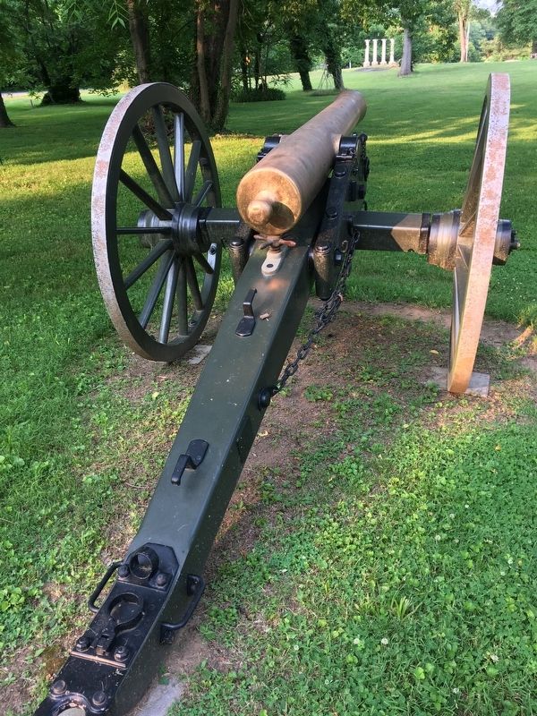
3. Replica 12-Pounder Napoleon, facing toward Old Zulla Road Trace

Regionally, this marker is in the Washington Metropolitan Area and in Northern Virginia. It is also in the American South, specifically in the Upper South, and in the Mid-Atlantic. Globally, it is in North America, the Western Hemisphere, the Western World, and the Anglosphere. Historically, it finds itself in what was once the territory of the Mississippian Culture, one of the original Thirteen Colonies, one of the Confederate States of America, and the Antebellum South.
Other nearby markers. At least 8 other markers are within walking distance of this marker: Mount Defiance (within shouting distance of this marker); The Battle Begins: Fighting East and Southeast of Mt. Defiance (within shouting distance of this marker); The Prussian Warrior Heros Von Borcke Goes Down (within shouting distance of this marker); Phase Two of the Battle: Fighting Along the Turnpike (within shouting distance of this marker); Mt. Defiance, the Turnpike, and Middleburg
Photographed by T. Elizabeth Renich, June 1, 2019
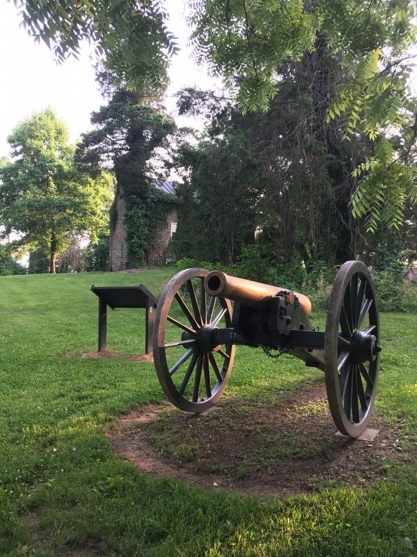
4. Replica 12-Pounder Napoleon
More about this marker.
(captions)
Artillery fragment found at Mt. Defiance.
Stuart's Horse Artillery in action. Library of Congress
Also see . . . Battle of Middlebug: Mt. Defiance Historic Park. NOVA Parks (Submitted on June 3, 2019.)
Credits. This page was last revised on June 14, 2020. It was originally submitted on June 2, 2019, by T. Elizabeth Renich of Winchester, Virginia. This page has been viewed 558 times since then and 16 times this year. Photos: 1, 2, 3, 4. submitted on June 2, 2019, by T. Elizabeth Renich of Winchester, Virginia. • Bernard Fisher was the editor who published this page.
