Cherokee in Swain County, North Carolina — The American South (South Atlantic)
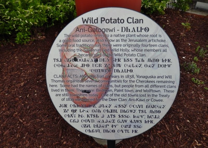
Wild Potato Clan
Ani-Gatogewi
(Cherokee language translation)
Clan Facts: After the Trail of Tears in 1838, Yonaguska and Will Thomas organized several communities for the Cherokees remaining here. Some had the names of clans, but people from all different clans lived in them. They were: Birdtown, Paint town, and Wolftown. These are still townships today. One of the old towns lost in the Treaty of 1819 was named for the Deer Clan: Ani-Kawi or Cowee.
(Cherokee language translation)
Topics. This historical marker is listed in this topic list: Native Americans.
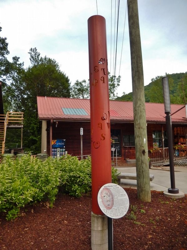
Location. 35° 29.152′ N, 83° 18.912′ W. Marker is in Cherokee, North Carolina, in Swain County. Marker is on Tsali Boulevard (U.S. 441) 0.1 miles north of Drama Road (County Highway 1361), on the right when traveling north. Marker is located beside the sidewalk, in front of a gift shop. Touch for map. Marker is at or near this postal address: 686 Tsali Boulevard, Cherokee NC 28719, United States of America. Touch for directions.
Other nearby markers. At least 8 other markers are within walking distance of this marker. Wolf Clan (a few steps from this marker); Qualla Arts and Crafts Mutual, Inc. (about 400 feet away, measured in a direct line); Paint Clan (about 400 feet away); Museum of the Cherokee Indian (about 500 feet away); Sequoyah (about 500 feet away); Trail of Tears (about 500 feet away); Deer Clan (about 500 feet away); Blue Clan (approx. 0.2 miles away). Touch for a list and map of all markers in Cherokee.
Related markers. Click here for a list of markers that are related to this marker. Cherokee Clans
Also see . . . Wild Potato Clan (Wikipedia). The Anigatogewi's only subdivision was Blind Savannah, possibly a separate clan in origin. Historically, members of this clan were known to be "keepers of the land," and gatherers. The wild potato was a main staple of the traditional Cherokee life in the Southeast. (Submitted on June 2, 2019, by Cosmos Mariner of Cape Canaveral, Florida.)
Credits. This page was last revised on May 24, 2020. It was originally submitted on June 2, 2019, by Cosmos Mariner of Cape Canaveral, Florida. This page has been viewed 2,575 times since then and 293 times this year. Photos: 1, 2. submitted on June 2, 2019, by Cosmos Mariner of Cape Canaveral, Florida.

