Near Oil City in Venango County, Pennsylvania — The American Northeast (Mid-Atlantic)
Hyde & Egbert Farm, and the McCray Tract
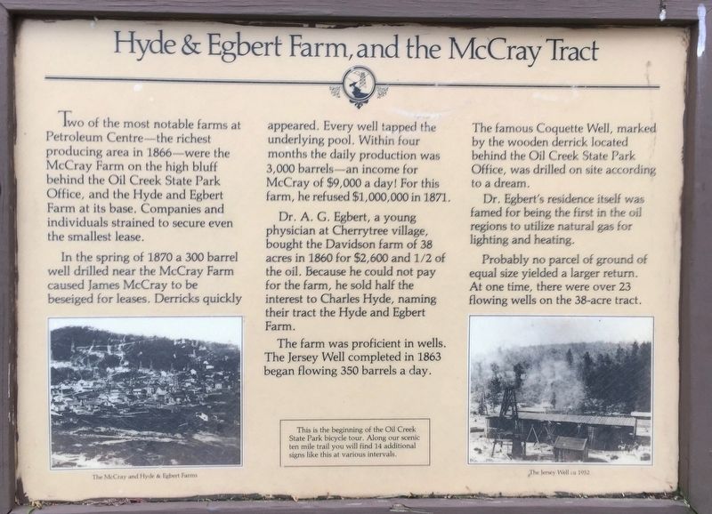
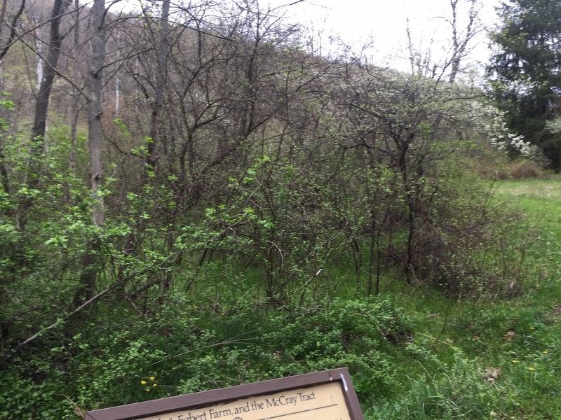
Two of the most notable farms at Petroleum Centre – the richest producing area in 1866 – were the McCray Farm on the high bluff behind the Oil Creek State Park Office , and the Hyde and Egbert Farm at its base. Companies and individuals strained to secure even the smallest lease.
In the spring of 1870, a 300 barrel well drilled near the McCray Farm caused James McCray to be besieged for leases, Derricks quickly appeared. Every well tapped the underlying pool. Within four months, the daily production was 3,000 barrels – an income for McCray of $9,000 a day. For this farm,, he refused $1,000,000 in 1871.
Dr. A.G. Egbert, a young physician at Cherrytree village, bought the Davidson farm of 38 acres in 1860 for $2,600 and ½ of the oil. Because he could not pay for the farm, he sold half the interest to Charles Hyde, naming their tract the Hyde and Egbert Farm.
The farm was proficient in wells. The Jersey Well completed in 1863 began flowing 350 barrels a day. The famous Coquette Well, marked by the wooden derrick located behind the Oil Creek State Park Office, was drilled on the site according to a dream.
Dr. Egbert’s residence itself was famed for being the first in the oil regions to utilize natural gas for lighting and heating.
Probably no parcel of ground of equal size yielded a larger return. At one time, there were over 23 flowing wells on the 38-acre farms.
This is the beginning of the Oil Creek State Park bicycle tour. Along our scenic ten mile trail, you will find 14 additional signs like this at various intervals.
Topics. This historical marker is listed in this topic list: Industry & Commerce. A significant historical year for this entry is 1866.
Location. 41° 31.001′ N, 79° 40.867′ W. Marker is near Oil City, Pennsylvania, in Venango County. Marker is on Russell Corners Road, on the right. Oil Creek State Park. Touch for map. Marker is in this post office area: Oil City PA 16301, United States of America. Touch for directions.
Other nearby markers. At least 8 other markers are within 4 miles of this marker, measured as the crow flies. Toll Bridge (about 400 feet away, measured in a direct line); Coy Coquette Locates Gusher (about 600 feet away); Wildcat Hollow (about 800 feet away); Welcome to Petroleum Centre (approx. 0.2 miles away); McClintock-Steele-Waitz House (approx. 2.4 miles away); Rynd Farm (approx. 2½ miles away); Humboldt Refinery (approx. 2.6 miles away); Pithole (approx. 3.2 miles away). Touch for a list and map of all markers in Oil City.
Additional keywords. petroleum industry, oil wells
Credits. This page was last revised on June 5, 2019. It was originally submitted on June 3, 2019, by Steve Stoessel of Niskayuna, New York. This page has been viewed 284 times since then and 29 times this year. Photos: 1, 2. submitted on June 3, 2019, by Steve Stoessel of Niskayuna, New York. • Bill Pfingsten was the editor who published this page.

