Near Rouseville in Venango County, Pennsylvania — The American Northeast (Mid-Atlantic)
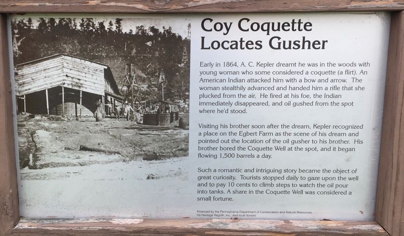
Coy Coquette Locates Gusher
Early in 1864, A. C. Kepler dreamt he was in the woods with young woman who some considered a coquette (a flirt). An American Indian attacked him with a bow and arrow. The woman stealthily advanced and handed him a rifle that she plucked from the air. He fired at his foe, the Indian immediately disappeared, and oil gushed from the spot where he'd stood.
Visiting his brother soon after the dream, Kepler recognized place on the Egbert Farm as the scene of his dream and pointed out the location of the oil gusher to his brother. His brother bored the Coquette Well at the spot, and it began flowing 1,500 barrels a day.
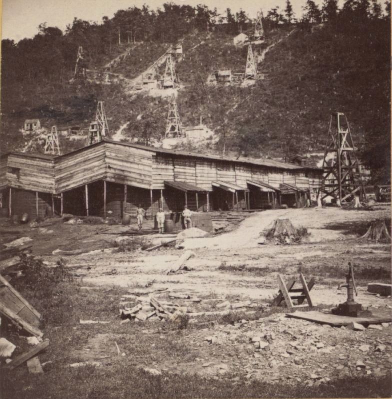
Such a romantic and intriguing story became the object of great curiosity. Tourists stopped daily to gaze upon the well and to pay 10 cents to climb steps to watch the oil pour into tanks. A share in the Coquette Well was considered a small fortune.
Erected by Pennsylvania Department of Conservation and Natural Resources, Oil Heritage Region, Inc., and local donors.
Topics. This historical marker is listed in this topic list: Industry & Commerce. A significant historical year for this entry is 1864.
Location. 41° 30.902′ N, 79° 40.819′ W. Marker is near Rouseville, Pennsylvania, in Venango County. Marker can be reached from Petroleum Centre Road. Marker is near parking lot for the park office of Oil Creek State Park. Touch for map. Marker is in this post office area: Rouseville PA 16344, United States of America. Touch for directions.
Other nearby markers. At least 8 other markers are within 4 miles of this marker, measured as the crow flies. Hyde & Egbert Farm, and the McCray Tract (about 600 feet away, measured in a direct line); Toll Bridge (about 700 feet away); Wildcat Hollow (approx. ¼ mile away); Welcome to Petroleum Centre (approx. ¼ mile away); McClintock-Steele-Waitz House (approx. 2.3 miles away); Rynd Farm (approx. 2.4 miles away); Humboldt Refinery (approx. 2½ miles away); Pithole (approx. 3.2 miles away). Touch for a list and map of all markers in Rouseville.
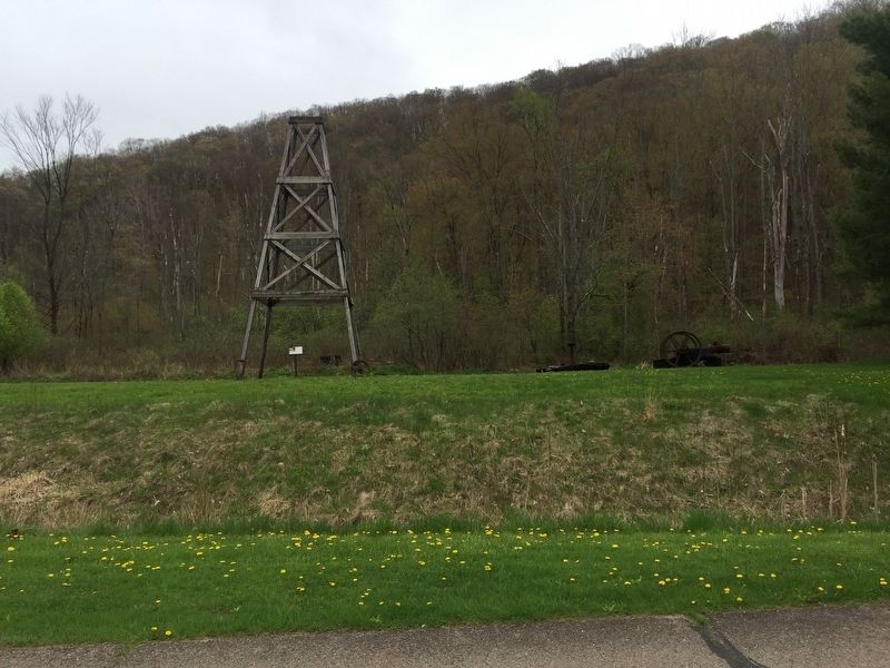
Regarding Coy Coquette Locates Gusher. The Coy Coquette Well was located on top of a pool of oil centered about the Hyde& Egbert Farm and McCray Tract.
Additional keywords. Petroleum industry, oil wells, oil prospecting
Credits. This page was last revised on June 5, 2019. It was originally submitted on June 3, 2019, by Steve Stoessel of Niskayuna, New York. This page has been viewed 193 times since then and 16 times this year. Photos: 1, 2, 3. submitted on June 3, 2019, by Steve Stoessel of Niskayuna, New York. 4. submitted on June 5, 2019. • Andrew Ruppenstein was the editor who published this page.


