Near Wilmington in Clinton County, Ohio — The American Midwest (Great Lakes)
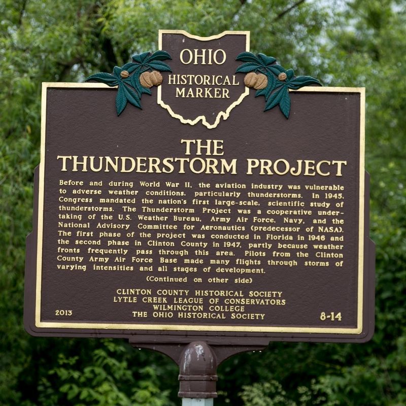
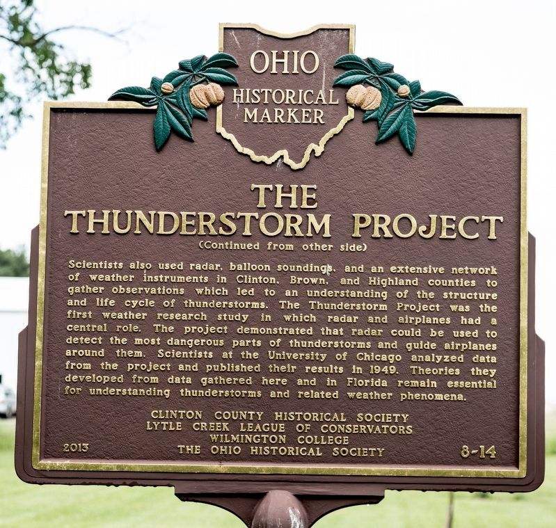
The Thunderstorm Project
Scientists also used radar, balloon soundings, and an extensive network of weather instruments in Clinton, Brown and Highland counties to gather observations which led to an understanding of the structures and life cycle of thunderstorms. The Thunderstorm Project was the first weather research study in which radar and airplanes had a central role. The project demonstrated that radar could be used to detect the most dangerous parts of thunderstorms and guide airplanes around them. Scientists at the University of Chicago analyzed data from the project and published their results in 1949. Theories they developed from data gathered here and in Florida remain essential for understanding thunderstorms and relates weather phenomena.
Erected 2013 by the Clinton County Historical Society, Lytle Creek League of Conservators, Wilmington College, and The Ohio Historical Society. (Marker Number 8-14.)
Topics and series. This historical marker is listed in these topic lists: Air & Space • Science & Medicine. In addition, it is included in the Ohio Historical Society / The Ohio History Connection series list. A significant historical year for this entry is 1945.
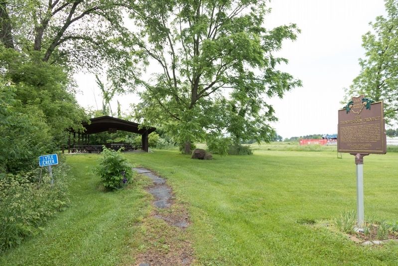
Location. 39° 25.732′ N, 83° 48.396′ W. Marker is near Wilmington, Ohio, in Clinton County. Marker is on Davids Drive east of Ohio Route 134, on the left when traveling east. It is south of town on the northwest side of the airport. It is on the Lytle Creek Greenway, at the picnic shelter. Touch for map. Marker is at or near this postal address: across from 745 Davids Dr, Wilmington OH 45177, United States of America. Touch for directions.
Other nearby markers. At least 8 other markers are within 2 miles of this marker, measured as the crow flies. Wilmington Community Improvement Corporation (a few steps from this marker); Indian Trails of Clinton County (approx. one mile away); Kenneth W. Faul (approx. 1.1 miles away); Marble Hall (approx. 1.1 miles away); 1968 Clinton County AFB C-119G Plane Crash (approx. 1.2 miles away); Military Air Disaster (approx. 1.2 miles away); 302 TAW C-119 Accident Memorial (approx. 1.2 miles away); 907 TAG C-119G Accident Memorial (approx. 1.2 miles away). Touch for a list and map of all markers in Wilmington.
Also see . . .
1. The Thunderstorm Project in Ohio - 1947. This web page has many photographs from the project. “The Thunderstorm Project was significant for many reasons, as evidenced by the fact the War Department gave it priority second only to the Bikini atomic bomb tests. It was the nation's first large-scale scientific study of thunderstorms and the first multi-agency meteorological project mandated and funded by Congress. As such, it was also the first weather research study in which radar and airplanes had a central role (radar was new, highly classified, and essentially limited to the military during WWII). ” (Submitted on June 4, 2019.)
2. 37 minute video: The Thunderstorm Project -- Wilmington, Ohio (1947).
Credits. This page was last revised on June 4, 2019. It was originally submitted on June 4, 2019, by J. J. Prats of Powell, Ohio. This page has been viewed 276 times since then and 23 times this year. Photos: 1, 2, 3, 4. submitted on June 4, 2019, by J. J. Prats of Powell, Ohio.


