Tehachapi in Kern County, California — The American West (Pacific Coastal)
First Roads and Highway 58
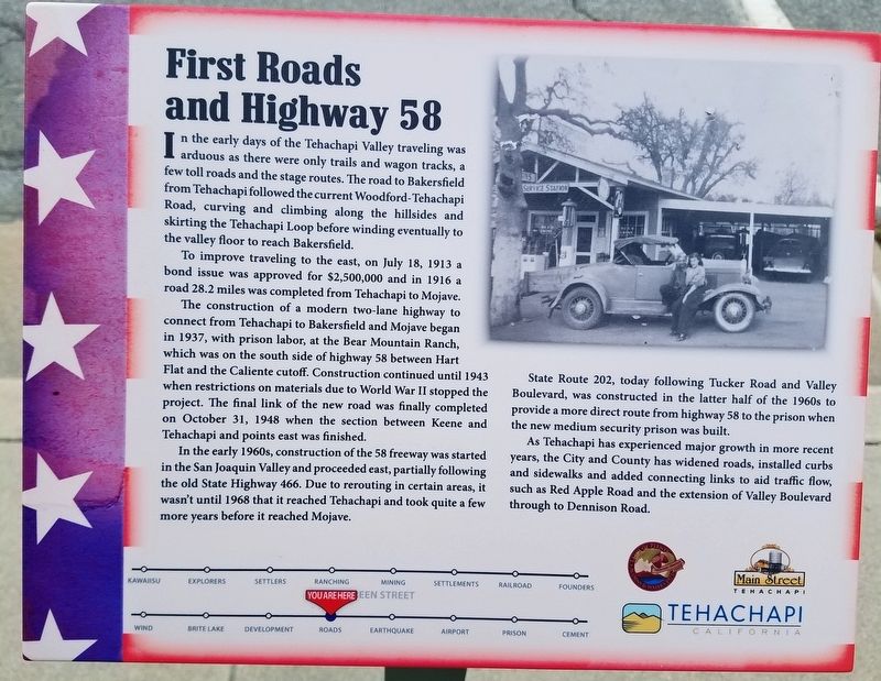
To improve traveling to the east, on July 18, 1913 a bond issue was approved for $2,500,000 and in 1916 a road 28.2 miles was completed from Tehachapi to Mojave.
The construction of a modern two-lane highway to connect from Tehachapi to Bakersfield and Mojave began in 1937, with prison labor, at the Bear Mountain Ranch which was on the south side of highway 58 between Hart Flat and the Caliente cutoff. Construction continued until 1943 when restrictions on materials due to World War II stopped the project. The final link of the new road was finally completed on October 31, 1948 when the section between Keene and Tehachapi and points east was finished.
In the early 1960s, construction of the 58 freeway was started in the San Joaquin Valley and proceeded east, partially following the old State Highway 466. Due to rerouting in certain areas, it wasn’t until 1968 that it reached Tehachapi and took quite few more years before it reached Mojave.
State Route 202, today following Tucker Road and Valley Boulevard, was constructed in the latter half of the 1960s to provide a more direct route from highway 58 to the prison when the new medium security prison was built.
As Tehachapi has experienced major growth in more recent years, the City and County has widened roads, installed curbs and sidewalks and added connecting links to aid traffic flow, such as Red Apple Road and the extension of Valley Boulevard through to Dennison Road.
Erected by Main Street Tehachapi, Tehachapi Heritage League and The City of Tehachapi.
Topics. This historical marker is listed in this topic list: Roads & Vehicles. A significant historical date for this entry is July 18, 1913.
Location. 35° 7.817′ N, 118° 26.865′ W. Marker is in Tehachapi, California, in Kern County. Marker is on Green Street north of E Street, on the right when traveling north. Next to the street parking of the Aspen Business Center, which use to be the old Post Office. Touch for map. Marker is at or near this postal address: 101 East E Street, Tehachapi CA 93561, United States of America. Touch for directions.
Other nearby markers. At least 8 other markers are within walking distance of this marker. Ranching, Farming and Orchards (a few steps from this marker); Early Settlers (a few steps from this marker); Real Estate Development Since The 1960s (within shouting distance of this marker); Former Post Office (within shouting distance of this marker); Mining, Gold, Salt and Limestone (within shouting distance of this marker); What a Shock! The 1952 Earthquake (within shouting distance of this marker); Importance of Water and Creation of Brite Lake (within shouting distance of this marker); Early Explorers in the Tehachapi Area (within shouting distance of this marker). Touch for a list and map of all markers in Tehachapi.
Credits. This page was last revised on July 3, 2023. It was originally submitted on June 8, 2019, by Denise Boose of Tehachapi, California. This page has been viewed 1,089 times since then and 73 times this year. Photos: 1, 2, 3. submitted on June 8, 2019, by Denise Boose of Tehachapi, California. • Andrew Ruppenstein was the editor who published this page.


