Newport in Campbell County, Kentucky — The American South (East South Central)
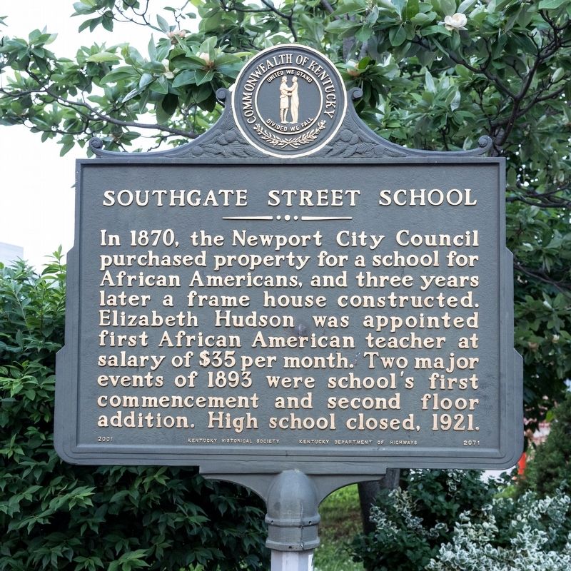
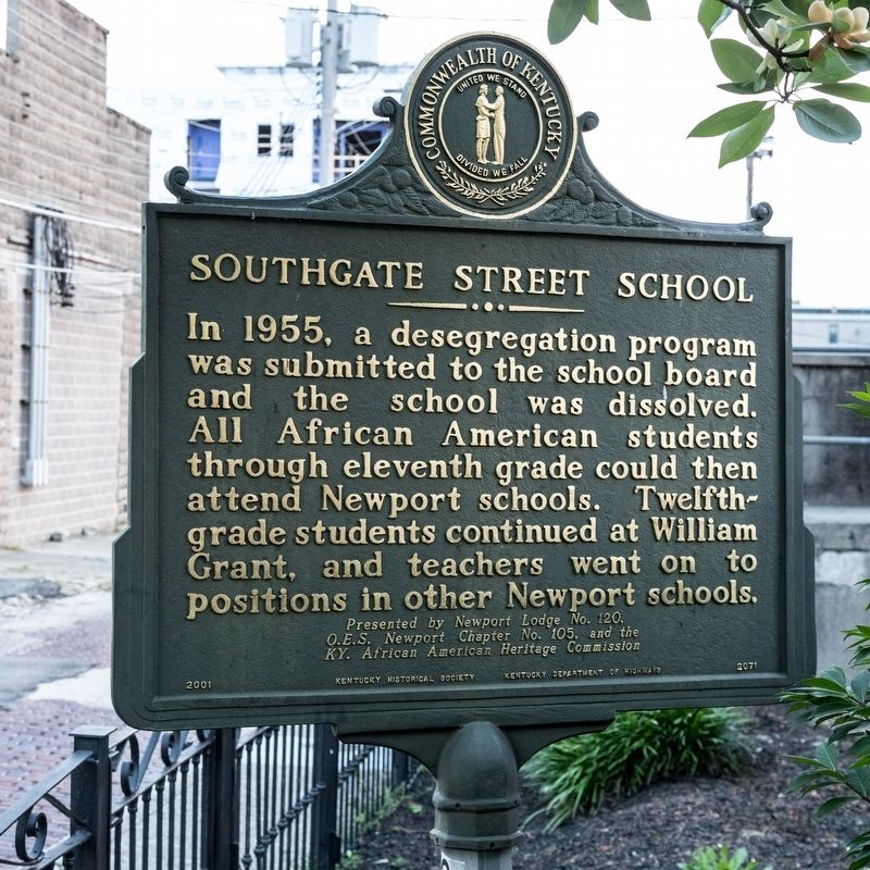
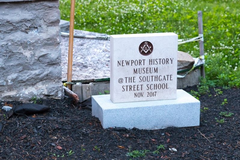
Southgate Street School
In 1955, a desegregation program was submitted to the school board and the school was dissolved. All African American students through eleventh grade could then attend Newport schools. Twelfth-grade students continued at William Grant, and teachers went on to positions in other Newport schools.
Erected 2001 by Kentucky Historical Society and Kentucky Department of Highways. Presented by Newport Lodge No. 120. O.E.S. Newport Chapter No. 105, and the Kentucky African American Heritage Commission. (Marker Number 2071.)
Topics and series. This historical marker is listed in these topic lists: African Americans • Education. In addition, it is included in the Kentucky Historical Society series list. A significant historical year for this entry is 1870.
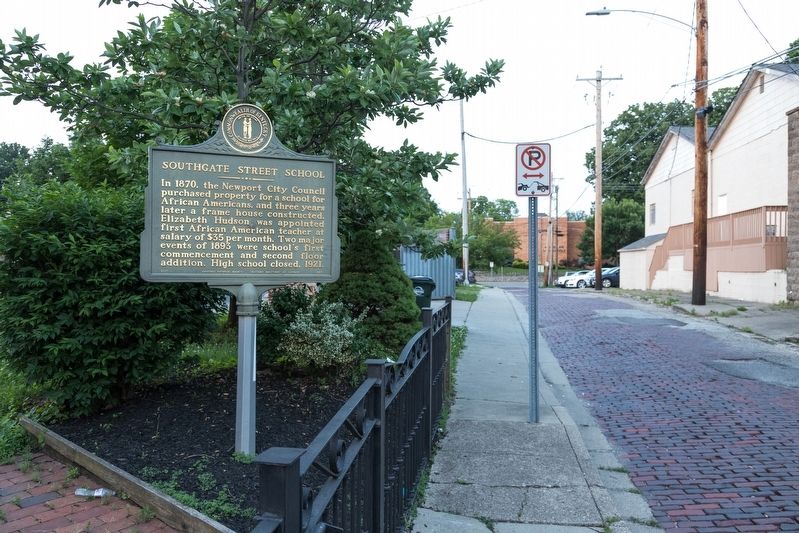
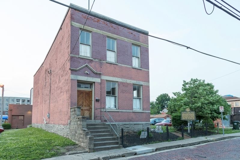
Location. 39° 5.683′ N, 84° 29.609′ W. Marker is in Newport, Kentucky, in Campbell County. Marker is on East Southgate Street east of Saratoga Street , on the left when traveling east. Touch for map. Marker is at or near this postal address: 215 E Southgate St, Newport KY 41071, United States of America. Touch for directions.
Other nearby markers. At least 8 other markers are within walking distance of this marker. 315 3rd Street (about 500 feet away, measured in a direct line); “H-Bomb” Ferguson (about 700 feet away); General James Taylor Home (about 700 feet away); “Tommygun” Inventor (approx. 0.2 miles away); Dr. Thomas Hinde (approx. ¼ mile away); Campbell County, Kentucky World War II Monument (approx. ¼ mile away); Newport ~~ War of 1812 (approx. ¼ mile away); St. Paul's Church (approx. ¼ mile away). Touch for a list and map of all markers in Newport.
Credits. This page was last revised on October 21, 2020. It was originally submitted on June 9, 2019, by J. J. Prats of Powell, Ohio. This page has been viewed 318 times since then and 37 times this year. Photos: 1, 2, 3, 4, 5. submitted on June 9, 2019, by J. J. Prats of Powell, Ohio.
