
Tiffany Acres in Springfield in Clark County, Ohio — The American Midwest (Great Lakes)
Old Enon Road Stone Arch Culvert
Photographed by Rev. Ronald Irick, June 11, 2019
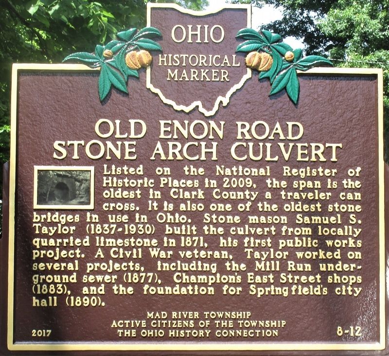
1. Old Enon Road Stone Arch Culvert Marker
close up, showing text
Erected 2017 by Mad River Township, Active Citizens of the Township, and The Ohio History Connection. (Marker Number 8-12.)
Topics and series. This historical marker is listed in this topic list: Bridges & Viaducts. In addition, it is included in the Ohio Historical Society / The Ohio History Connection series list.
Location. 39° 52.171′ N, 83° 52.757′ W. Marker is in Springfield, Ohio, in Clark County. It is in Tiffany Acres. It is at the intersection of Rocky Point Road (County Route 136) and Old Mill Road (County Route 146), on the left when traveling west on Rocky
this page online

Regionally, this marker is in Ohio’s Dayton Metro and in the Miami Valley. It is also in the American Midwest and in the Corn Belt. Globally, it is in North America, the Western Hemisphere, the Western World, and the Anglosphere. Historically, it finds itself in what was once the Haudenosaunee (Iroquois) Confederacy, the territory of the Mississippian Culture, and the Northwest Territory.
Other nearby markers. At least 8 other markers are within 4 miles of this marker, measured as the crow flies: Enon-Greenon Area Students Veterans Memorial (approx. 0.6 miles away); Green High School Veterans Memorial (approx. 0.6 miles away); Enon Civil War Memorial (approx. 2.6 miles away); Mad River Township Civil War Memorial (approx. 2.6 miles away); POW / MIA Memorial (approx. 2.6 miles away); Adena Mound Enon Ohio (approx. 2.9 miles away); Enon Adena Mound (approx. 2.9 miles away); Peckuwe Shawnee Memorial (approx. 3.2 miles away). Touch for a list and map of all
Photographed by Rev. Ronald Irick, June 11, 2019
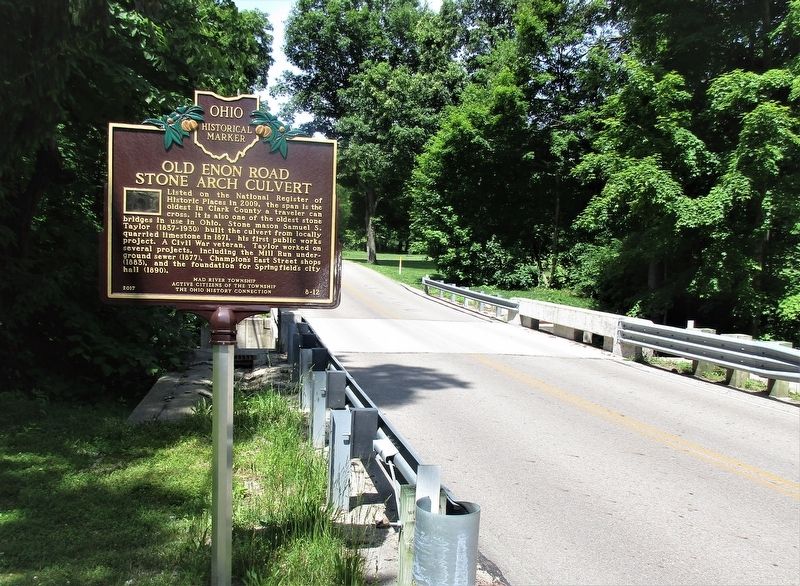
2. Old Enon Road Stone Arch Culvert Marker
full view of marker
Photographed by Rev. Ronald Irick, June 11, 2019
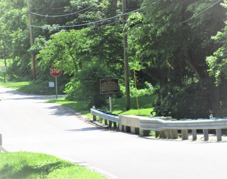
3. Old Enon Road Stone Arch Culvert Marker
marker as seen from the west on Rocky Point Road
Photographed by Rev. Ronald Irick, June 11, 2019
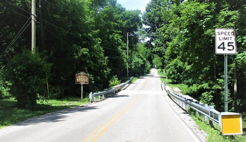
4. Old Enon Road Stone Arch Culvert Marker
marker as seen from the east, at the corner of Rocky Point Road and Old Mill Road
Photographed by Rev. Ronald Irick, June 11, 2019
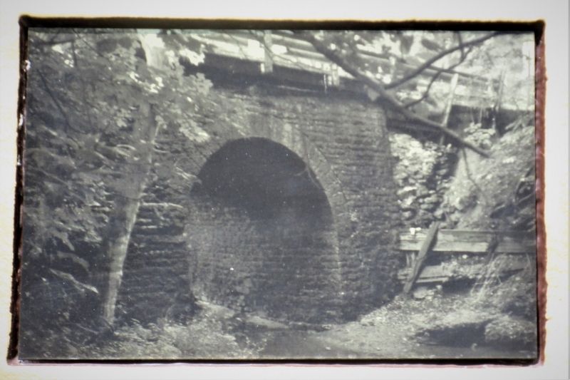
5. Old Enon Road Stone Arch Culvert Marker
picture on the marker, of the old stone arch culvert
Credits. This page was last revised on February 7, 2023. It was originally submitted on June 11, 2019, by Rev. Ronald Irick of West Liberty, Ohio. This page has been viewed 685 times since then and 56 times this year. Photos: 1, 2, 3, 4, 5. submitted on June 11, 2019, by Rev. Ronald Irick of West Liberty, Ohio. • Bill Pfingsten was the editor who published this page.
