West Union in Adams County, Ohio — The American Midwest (Great Lakes)
West Union Associate Reformed Presbyterian Church / Reverend John Graham
Inscription.
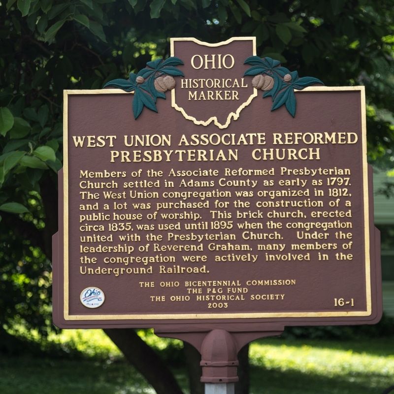
Members of the Associate Reformed Presbyterian
Church settled in Adams County as early as 1797.
The West Union congregation was organized in 1812,
and a lot was purchased for the construction of a
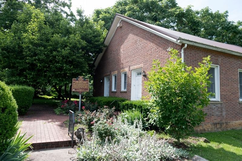
public house of worship. This brick church, erected
circa 1835, was used until 1895 when the congregation
united with the Presbyterian Church. Under the
leadership of Reverend Graham, many members of
the congregation were actively involved in the
Underground Railroad.
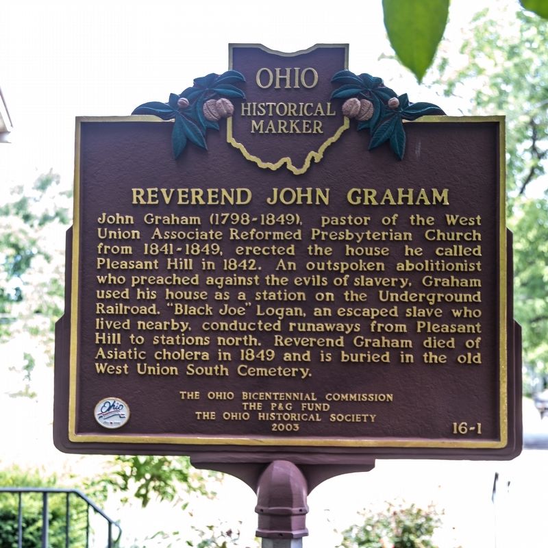
John Graham (1798-1849), pastor of the West Union Associate Reformed Presbyterian Church from 1841-1849, erected the house he called Pleasant Hill in 1842. An outspoken abolitionist who preached against the evils of slavery, Graham used his house as a station on the Underground Railroad. “Black Joe” Logan, an escaped slave who lived nearby, conducted runaways from Pleasant Hill to stations north. Reverend Graham died of Asiatic cholera in 1849 and is buried in the old West Union South Cemetery.
Erected 2003 by the Ohio Bicentennial Commission, the P&G Fund, and The Ohio Historical Society. (Marker Number 16-1.)
Topics and series. This historical marker is listed in these topic lists: Abolition & Underground RR • African Americans • Churches & Religion. In addition, it is included in the Ohio Historical Society / The Ohio History Connection series list. A significant historical year for this entry is 1797.
Location. 38° 47.842′ N, 83° 32.814′ W. Marker is in West Union, Ohio, in Adams County. Marker is on North Cherry Street west of North Cross Street (Ohio Route 247), on the right when traveling west. Touch for map. Marker is at or near this postal address: 507 N Cherry St, West Union OH 45693, United States of America. Touch for directions.
Other nearby markers. At least 8 other markers are within walking distance of this marker. Adams County Heritage Center (here, next to this marker); First West Union Post Office (within shouting distance of this marker); Cowboy Copas / The Oklahoma Cowboy (approx. 0.2 miles away); Corp. Carey Mc. Moore (approx. 0.2 miles away); Olde Wayside Inn (approx. 0.2 miles away); Bradford Tavern (approx. 0.2 miles away); Adams County War Memorial (approx. 0.2 miles away); Bell (approx. 0.2 miles away). Touch for a list and map of all markers in West Union.
Credits. This page was last revised on June 15, 2019. It was originally submitted on June 15, 2019, by J. J. Prats of Powell, Ohio. This page has been viewed 374 times since then and 48 times this year. Photos: 1, 2, 3. submitted on June 15, 2019, by J. J. Prats of Powell, Ohio.


