Mechanicsville in St. Mary's County, Maryland — The American Northeast (Mid-Atlantic)
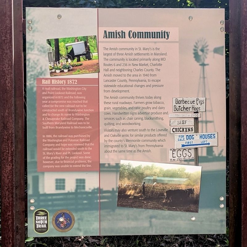
Amish Community
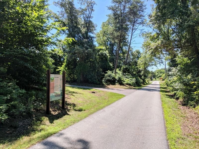
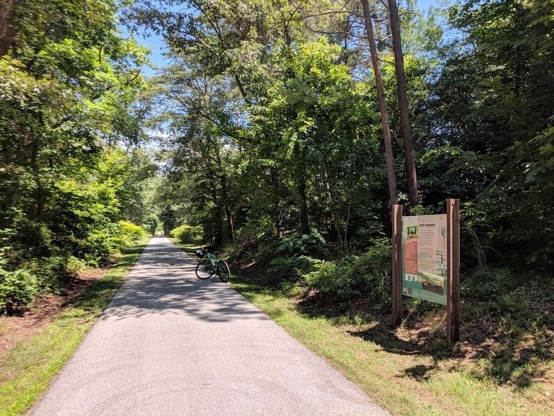
Three Notch Trail
The Amish community thrives today along these rural roadways. Farmers grow tobacco, grain, vegetables, and raise poultry and dairy cows. Handwritten signs advertise produce and, services such as chair caning, blacksmithing, quilting and woodworking.
Visitors may also venture south to the Loveville and Oakville areas for similar products offered by the county’s Mennonite community which immigrated to St. Mary’s from Pennsylvania about the same time as the Amish.
Rail History 1872
A rival railroad, the Washington City and Point Lookout Railroad, was organized in 1872 and the following year a compromise was reached that called for the new railroad not to be constructed south of Brandywine Junction and to change its name to Washington & Chesapeake Railroad Company. The Southern Maryland Railroad was to be built from Brandywine to Mechanicsville.
In 1886, the railroad was purchased by the Washington and Potomac Railroad Company and hope was renewed that the railroad would be extended south to the St. Mary’s River and Pt. Lookout. Some of the grading for the project was done; however, due to financial problems, the company was unable to extend the line.
Erected by Three Notch Trail.
Topics. This historical marker is listed in these topic lists: Agriculture • Churches & Religion • Railroads & Streetcars.
Location. 38° 28.423′ N, 76° 46.62′ W. Marker is in Mechanicsville, Maryland, in St. Mary's County. Marker can be reached from New Market Road (Maryland Route 6) 0.1 miles west of Three Notch Road (Maryland Route 5), on the right when traveling west. Located on the Three Notch Trail. Touch for map. Marker is at or near this postal address: 37600 New Market Rd, Mechanicsville MD 20659, United States of America. Touch for directions.
Other nearby markers. At least 8 other markers are within walking distance of this marker. Ye Coole Springs (approx. ¼ mile away); Coole Springs of Saint Marie’s (approx. 0.3 miles away); Cadet Pierre A. Mourthé (approx. 0.3 miles away); Maryland Begins Here (approx. 0.3 miles away); Charlotte Hall School (approx. 0.3 miles away); No Match for British Might (approx. 0.3 miles away); a different marker also named Charlotte Hall School (approx. 0.3 miles away); Village of Charlotte Hall (approx. half a mile away).
Credits. This page was last revised on June 16, 2019. It was originally submitted on June 16, 2019, by Bernard Fisher of Richmond, Virginia. This page has been viewed 364 times since then and 30 times this year. Photos: 1, 2, 3. submitted on June 16, 2019, by Bernard Fisher of Richmond, Virginia.


