Mechanicsville in St. Mary's County, Maryland — The American Northeast (Mid-Atlantic)
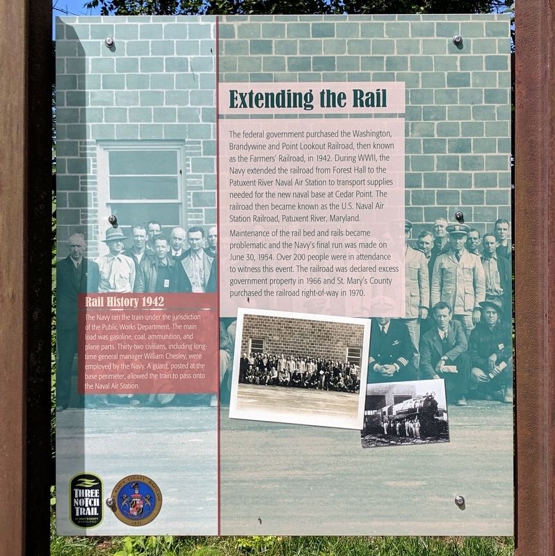
Extending the Rail
Three Notch Trail
Photographed by Bernard Fisher, June 15, 2019
1. Extending the Rail Marker
Maintenance of the rail bed and rails became problematic and the Navy’s final run was made on June 30, 1954. Over 200 people were in attendance to witness this event. The railroad was declared excess government property in 1966 and St. Mary’s County purchased the railroad right-of-way in 1970.
Rail History 1942
The Navy ran the train under the jurisdiction of the Public Works Department. The main load was gasoline, coal, ammunition, and plane parts. Thirty-two civilians, including long-time general manager William Chesley, were employed by the Navy. A guard, posted at the base perimeter, allowed the train to pass onto the Naval Air Station.
Erected by Three Notch Trail.
Topics. This historical marker is listed
this page online
Location. 38° 25.943′ N, 76° 43.841′ W. Marker is in Mechanicsville, Maryland, in St. Mary's County. It can be reached from Reeves Road 0.2 miles south of Old Village Road (Old Maryland Route 5), on the right when traveling south. Located on the Three Notch Trail. Touch for map. Marker is in this post office area: Mechanicsville MD 20659, United States of America. Touch for directions.

Regionally, this marker is in Southern Maryland. It is also in the American South, specifically in the Upper South, in the Mid-Atlantic, in the Tidewater, in the Chesapeake Bay Region, and on the Eastern Seaboard. Globally, it is in the North Atlantic Region, North America, the Western Hemisphere, the Western World, and the Anglosphere. Historically, it finds itself in what was once one of the original Thirteen Colonies and also the Antebellum South.
Other nearby markers. At least 8 other markers are within 4 miles of this marker, measured as the crow flies: Village of Mechanicsville (approx. 0.9 miles away); Forest Hall (approx.
Photographed by Bernard Fisher, June 15, 2019
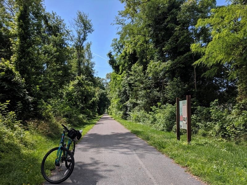
2. Three Notch Trail facing west
Photographed by Bernard Fisher, June 15, 2019
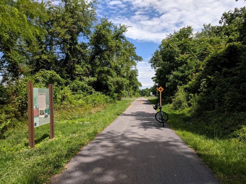
3. Three Notch Trail facing east
Credits. This page was last revised on June 16, 2019. It was originally submitted on June 16, 2019, by Bernard Fisher of Richmond, Virginia. This page has been viewed 467 times since then and 29 times this year. Photos: 1, 2, 3. submitted on June 16, 2019, by Bernard Fisher of Richmond, Virginia.
