Central in Denver in Denver County, Colorado — The American Mountains (Southwest)
Private Profits and the Public Good
Wall Street of the Rockies
| — | Seventeenth Street Denver, Colorado | — |
Photographed by Mark Hilton, June 9, 2019
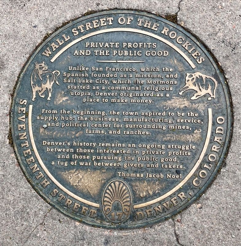
1. Private Profits and the Public Good Marker
Unlike San Francisco, which the Spanish founded as a mission, and Salt Lake City, which the Mormons started as a communal religious utopia, Denver originated as a place to make money.
From the beginning, the town aspired to be the supply hub: the business, manufacturing, service and political center for the surrounding mines, farms and ranches.
Denver’s history remains an ongoing struggle between those interested in private profits and those pursuing the public good, a tug of war between givers and takers.
Thomas Jacob Noel
Erected by Walk of Fame International. (Marker Number 4e.)
Topics and series. This historical marker is listed in these topic lists: Industry & Commerce • Settlements & Settlers. In addition, it is included in the Colorado, Denver, Wall Street of the Rockies series list.
Location. 39° 44.967′ N, 104° 59.71′ W. Marker is in Denver, Colorado, in Denver County. It is in Central. It can be reached from the intersection of 17th Street and Lawrence Street, on the left when traveling south. Touch for map. Marker is at or near this postal
this page online

Regionally, this marker is in Colorado’s Front Range. It is also in the American Mountain West. Globally, it is in North America, the Rocky Mountains, the Western Hemisphere, the Western World, and the Anglosphere. Historically, it finds itself in what was once the Louisiana Purchase.
Other nearby markers. At least 8 other markers are within walking distance of this marker: Cherry Creek Emigrant's Song (within shouting distance of this marker); Coal Miner's Daughter (within shouting distance of this marker); All Washed Up (within shouting distance of this marker); D&F Tower and Skyline Park (within shouting distance of this marker); Mint Robbery February 1864 (about 300 feet away, measured in a direct line); Arapahoe Street (about 300 feet away); Let the Buyer Beware (about 300 feet away); Yo Soy Joaquin (about 400 feet away). Touch for a list and map of all markers in Denver.
Photographed by Mark Hilton, June 9, 2019
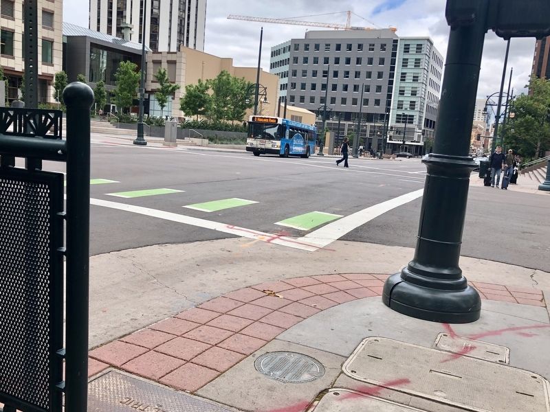
2. Private Profits and the Public Good Marker on sidewalk, looking north.
Credits. This page was last revised on February 7, 2023. It was originally submitted on June 16, 2019, by Mark Hilton of Montgomery, Alabama. This page has been viewed 406 times since then and 33 times this year. Photos: 1, 2. submitted on June 16, 2019, by Mark Hilton of Montgomery, Alabama.
