Saint Helena Island in Beaufort County, South Carolina — The American South (South Atlantic)
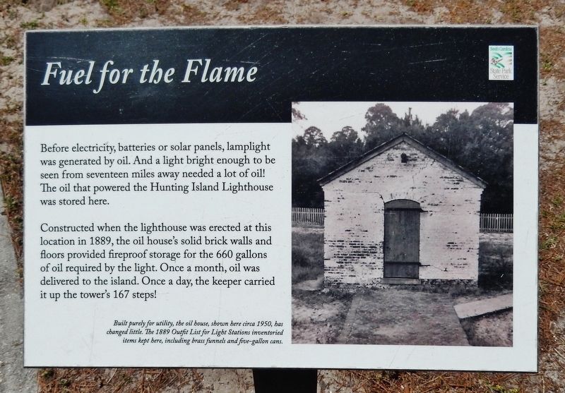
Fuel for the Flame
Photographed by Cosmos Mariner, May 1, 2019
1. Fuel for the Flame Marker
Constructed when the lighthouse was erected at this location in 1889, the oil house's solid brick walls and floors provided fireproof storage for the 660 gallons of oil required by the light. Once a month, oil was delivered to the island. Once a day, the keeper carried it up the tower's 167 steps!
Built purely for utility, the oil house, shown here circa 1950, has changed little. The 1889 Outfit List for Light Stations inventoried items kept here, including brass funnels and five-gallon cans.
Erected by Hunting Island State Park.
Topics and series. This historical marker is listed in this topic list: Notable Buildings. In addition, it is included in the Lighthouses series list. A significant historical year for this entry is 1889.
Location. 32° 22.535′ N, 80° 26.257′ W. Marker is on Saint Helena Island, South Carolina, in Beaufort County. It can be reached from North Beach Road 0.6 miles
this page online

Regionally, this marker is in the Lowcountry and on the Sea Islands. It is also in the American South, specifically in the Deep South, and on the Eastern Seaboard. Globally, it is in the North Atlantic Region, North America, the Western Hemisphere, the Western World, and the Anglosphere. Historically, it finds itself in what was once New Spain, the territory of the Mississippian Culture, one of the original Thirteen Colonies, one of the Confederate States of America, and the Antebellum South.
Other nearby markers. At least 8 other markers are within 9 miles of this marker, measured as the crow flies: A Guiding Light (here, next to this marker); Island Delivery Service (a few steps from this marker); Harvesting Drinking Water (a few steps from this marker); A Life-Saving Light Station (within shouting distance
Photographed by Cosmos Mariner, May 1, 2019
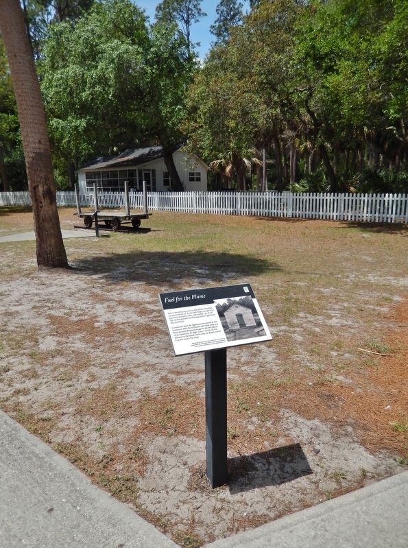
2. Fuel for the Flame Marker (tall view)
Related markers. Click here for a list of markers that are related to this marker. Hunting Island Lighthouse
Photographed by Cosmos Mariner, May 1, 2019
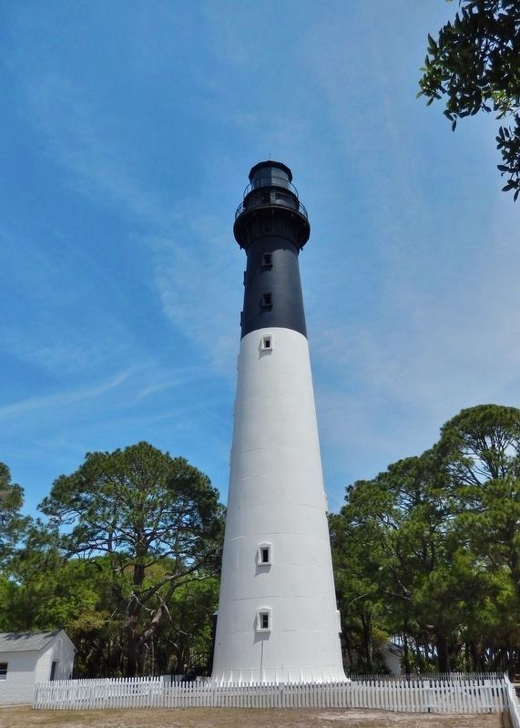
3. Hunting Island Lighthouse
(oil house visible left of lighthouse)
(oil house visible left of lighthouse)
Photographed by Cosmos Mariner, May 1, 2019
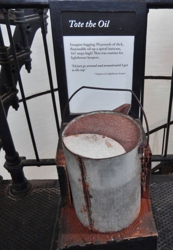
4. Tote the Oil (5-gallon oil can)
(interpretive panel inside lighthouse)
(interpretive panel inside lighthouse)
Imagine logging 50 pounds of slick, flammable oil up a spiral staircase, 167 steps high! That was routine for lighthouse keepers.
”I’d just go around and around until I got to the top.”
-Nephew of a lighthouse keeper
”I’d just go around and around until I got to the top.”
-Nephew of a lighthouse keeper
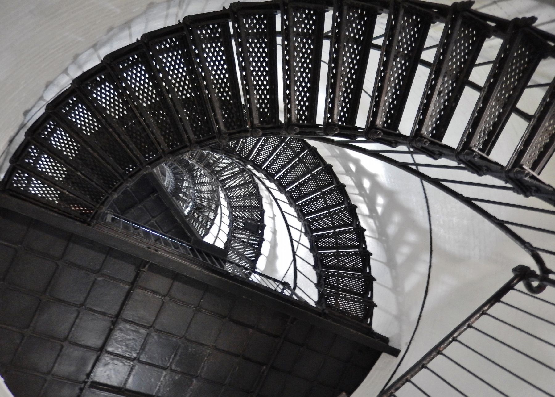
Photographed by Cosmos Mariner, May 1, 2019
5. Hunting Island Lighthouse Sprial Staircase
(looking up from the bottom)
(looking up from the bottom)
Credits. This page was last revised on June 18, 2019. It was originally submitted on June 17, 2019, by Cosmos Mariner of Cape Canaveral, Florida. This page has been viewed 290 times since then and 23 times this year. Photos: 1, 2, 3, 4, 5. submitted on June 18, 2019, by Cosmos Mariner of Cape Canaveral, Florida.
