Saint Helena Island in Beaufort County, South Carolina — The American South (South Atlantic)
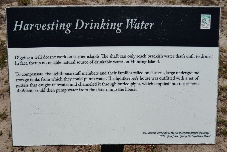
Harvesting Drinking Water
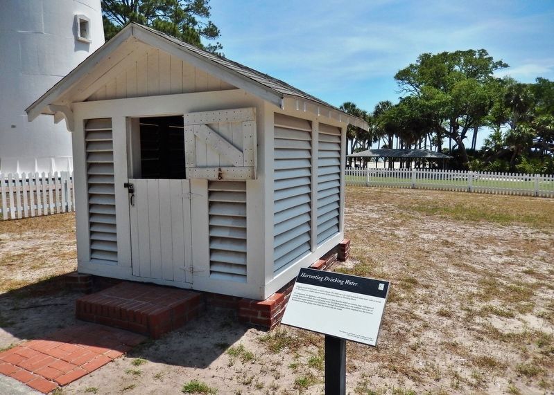
To compensate, the lighthouse staff members and their families relied on cisterns, large underground storage tanks from which they could pump water. The lightkeeper's house was outfitted with a set of gutters that caught rainwater and channeled it through buried pipes, which emptied into the cisterns. Residents could then pump water from the cistern into the house.
"Two cisterns were built at the site of the new keepers' dwelling."
-1890 report from Office of the Lighthouse Board
Erected by Hunting Island State Park.
Topics. This historical marker is listed in this topic list: Notable Buildings. A significant historical year for this entry is 1890.
Location. 32° 22.527′ N, 80° 26.262′ W. Marker is on Saint Helena Island, South Carolina, in Beaufort County. Marker can be reached from North Beach Road, 0.6 miles north of Hunting Island Drive. Marker is located on the Hunting Island Light Station grounds in Hunting Island State Park, along the walkway south of the lighthouse. Touch for map. Marker is at or near this postal address: 2555 Sea Island Parkway, Saint Helena Island SC 29920, United States of America. Touch for directions.
Other nearby markers. At least 8 other markers are within 9 miles of this marker, measured as the crow flies. Island Delivery Service (a few steps from this marker); Fuel for the Flame (a few steps from this marker); A Guiding Light (a few steps from this marker); Home at the Lighthouse (a few steps from this marker); A Life-Saving Light Station (within shouting distance of this marker); Hunting Island Light Station (within shouting distance of this marker); Chapel of Ease (approx. 8.1 miles away); Penn School (approx. 8.2 miles away). Touch for a list and map of all markers in Saint Helena Island.
Related markers. Click here for a list of markers that are related to this marker. Hunting Island Lighthouse
Credits. This page was last revised on June 18, 2019. It was originally submitted on June 17, 2019, by Cosmos Mariner of Cape Canaveral, Florida. This page has been viewed 144 times since then and 12 times this year. Photos: 1, 2, 3. submitted on June 18, 2019, by Cosmos Mariner of Cape Canaveral, Florida.


