Beaufort in Beaufort County, South Carolina — The American South (South Atlantic)
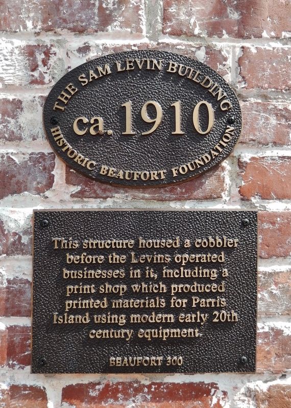
The Sam Levin Building
ca. 1910
| — | Beaufort 300 | — |
Photographed by Cosmos Mariner, May 1, 2019
1. The Sam Levin Building Marker
This structure housed a cobbler before the Levins operated businesses in it, including a print shop which produced printed materials for Parris Island using modern early 20th century equipment.
Erected by Historic Beaufort Foundation.
Topics. This historical marker is listed in these topic lists: Industry & Commerce • Notable Buildings. A significant historical year for this entry is 1910.
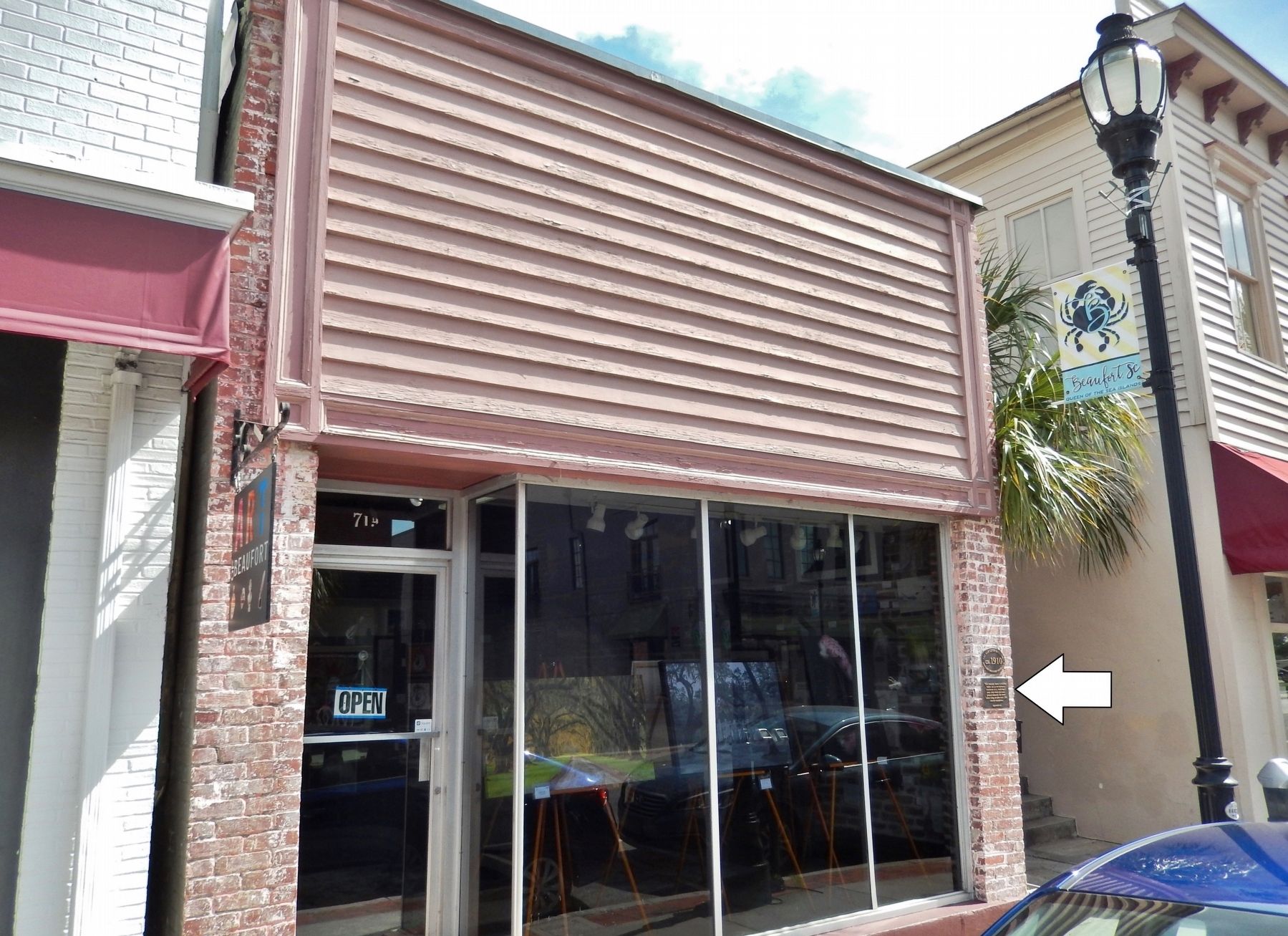
Location. 32° 25.85′ N, 80° 40.241′ W. Marker is in Beaufort, South Carolina, in Beaufort County. It is on Bay Street east of Scott Street, on the right when traveling west. Marker is mounted at eye-level, directly on the southeast corner of the subject building, facing Bay Street. Touch for map. Marker is at or near this postal address: 719 Bay Street, Beaufort SC 29902, United States of America. Touch for directions.

Regionally, this marker is in the Lowcountry and on the Sea Islands. It is also in the American South, specifically in the Deep South, and on the Eastern Seaboard. Globally, it is in the North Atlantic Region, North America, the Western Hemisphere, the Western World, and the Anglosphere. Historically,
this page online
Other nearby markers. At least 8 other markers are within walking distance of this marker: Lafayette's Tour (within shouting distance of this marker); The Capt. Francis Saltus House (within shouting distance of this marker); Verdier House (within shouting distance of this marker); The Scheper-Keyserling Building (within shouting distance of this marker); Christensen-Fordham Building (within shouting distance of this marker); Richard V. Woods Memorial Bridge (within shouting distance of this marker); The Wallace House (about 300 feet away, measured in a direct line); Great Fire of 1907 (about 300 feet away). Touch for a list and map of all markers in Beaufort.
Another marker is no longer nearby. First Fort (was a few steps from this marker but has been confirmed missing).
Photographed by Cosmos Mariner, May 1, 2019
2. The Sam Levin Building (wide view • marker visible on right/east corner)
Credits. This page was last revised on May 30, 2026. It was originally submitted on June 18, 2019, by Cosmos Mariner of Cape Canaveral, Florida. This page has been viewed 609 times since then and 33 times this year. Photos: 1, 2. submitted on June 18, 2019, by Cosmos Mariner of Cape Canaveral, Florida.
