Nanjemoy in Charles County, Maryland — The American Northeast (Mid-Atlantic)
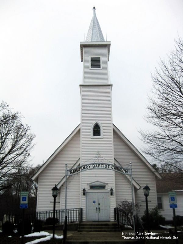
Nanjemoy Baptist Church
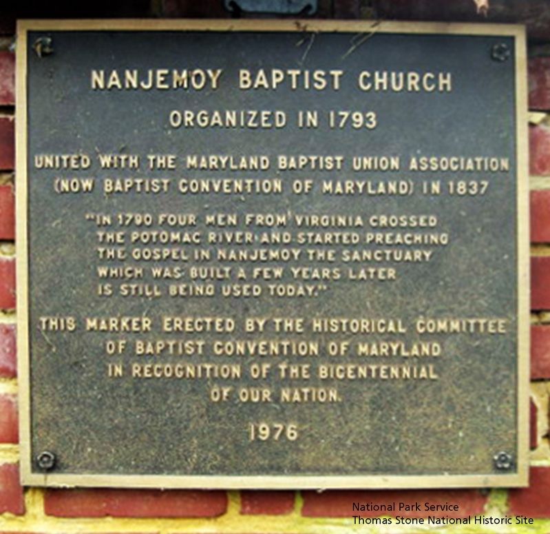
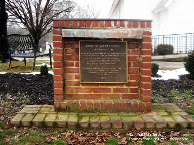
Inscription.
Organized in 1793
United with the Maryland Baptist Union Association (Now Baptist Convention of Maryland) in 1837
"In 1790 four men from Virginia crossed the Potomac River and started preaching the Gospel in Nanjemoy the Sanctuary which was build a few years later is still be used today."
This marker erected by the Historical Committee of Baptist Convention of Maryland in Recognition of the Bicentennial of our Nation.
1976
Erected 1976 by Historical Committee of Baptist Convention of Maryland.
Topics. This historical marker is listed in these topic lists: Churches & Religion • Colonial Era. A significant historical year for this entry is 1793.
Location. 38° 27.396′ N, 77° 12.519′ W. Marker is in Nanjemoy, Maryland, in Charles County. Marker is on Baptist Church Road, 0.3 miles east of Port Tobacco Road (Route 6) when traveling east. Touch for map. Marker is at or near this postal address: 3030 Baptist Church Road, Nanjemoy MD 20662, United States of America. Touch for directions.
Other nearby markers. At least 8 other markers are within 3 miles of this marker, measured as the crow flies. Washington's Farm (approx. half a mile away); "Efton Hills" (approx. 1˝ miles away); Memories of Douglas Point (approx. 2.7 miles away); Minister's House, Family Farm (approx. 2.7 miles away); Unique Environment (approx. 2.7 miles away); Archeology Reveals Outbuildings (approx. 2.7 miles away); Life Cycle of a House (approx. 2.7 miles away); General Daniel E. Sickles, U.S.A. (approx. 2.8 miles away). Touch for a list and map of all markers in Nanjemoy.
Also see . . . Nanjemoy Baptist Church. Maryland Historic Trust Architectural Survey File PDF (Submitted on June 19, 2019.)
Credits. This page was last revised on January 24, 2024. It was originally submitted on June 19, 2019. This page has been viewed 360 times since then and 40 times this year. Photos: 1. submitted on June 19, 2019. 2. submitted on June 19, 2019, by David Lassman of Waldorf, Maryland. 3, 4, 5. submitted on June 19, 2019. • Bill Pfingsten was the editor who published this page.


