Piney Flats in Sullivan County, Tennessee — The American South (East South Central)
Piney Flats Village
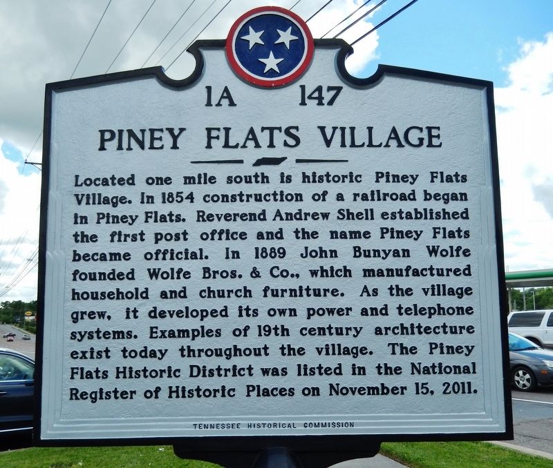
Located one mile south is historic Piney Flats Village. In 1854 construction of a railroad began in Piney Flats. Reverend Andrew Shell established the first post office and the name Piney Flats became official. In 1889 John Bunyan Wolfe founded Wolfe Bros. & Co., which manufactured household and church furniture. As the village grew, it developed its own power and telephone systems. Examples of 19th century architecture exist today throughout the village. The Piney Flats Historic District was listed In the National Register of Historic Places on November 15, 2011.
Erected by Tennessee Historical Commission. (Marker Number 1A-147.)
Topics. This historical marker is listed in these topic lists: Architecture • Industry & Commerce • Railroads & Streetcars • Settlements & Settlers. A significant historical year for this entry is 1854.
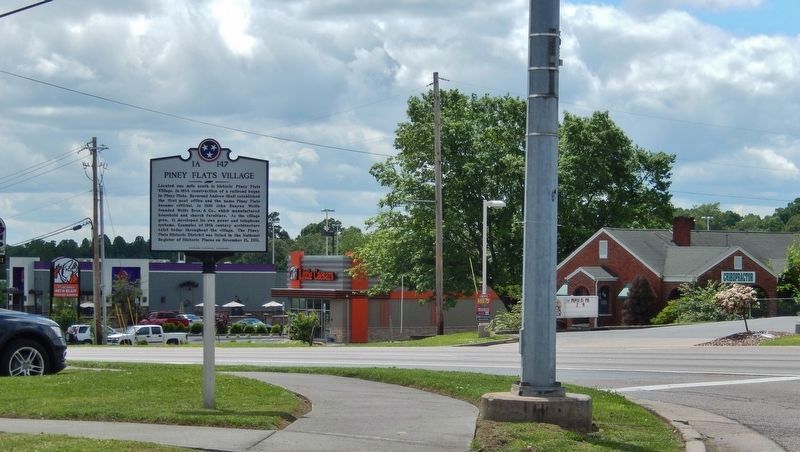
Location. 36° 25.589′ N, 82° 18.951′ W. Marker is in Piney Flats, Tennessee, in Sullivan County. Marker is at the intersection of Bristol Highway (U.S. 19W) and Piney Flats Road, on the right when traveling north on Bristol Highway. Marker is located beside the sidewalk at the southeast corner of the intersection. Touch for map. Marker is at or near this postal address: 6740 Bristol Highway, Piney Flats TN 37686, United States of America. Touch for directions.
Other nearby markers. At least 8 other markers are within 6 miles of this marker, measured as the crow flies. Rocky Mount (approx. 1.9 miles away); Robert E. Young Cabin (approx. 3˝ miles away); Henry Massengill (approx. 3˝ miles away); Dungan-St. John Mill (approx. 4 miles away); Bluff City (approx. 4.2 miles away); Womack's Old Fort (approx. 4.6 miles away); Range School (approx. 5 miles away); Isaac Hammer (approx. 5.4 miles away).
Regarding Piney Flats Village. Piney Flats Historic District, National Register of Historic Places #11000808, includes Main, McKamey, and Methodist Church Streets, and parts of Tank Hill, Piney Flats, Austin Springs and Mountain View Roads.
Credits. This page was last revised on January 2, 2024. It was originally submitted on June 21, 2019, by Cosmos Mariner of Cape Canaveral, Florida. This page has been viewed 671 times since then and 73 times this year. Photos: 1, 2. submitted on June 21, 2019, by Cosmos Mariner of Cape Canaveral, Florida.

