Fremont in Sandusky County, Ohio — The American Midwest (Great Lakes)
Great Gathering Place
Ohio Revolutionary Memorial Trail
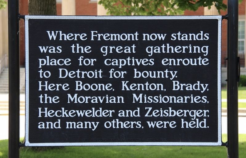
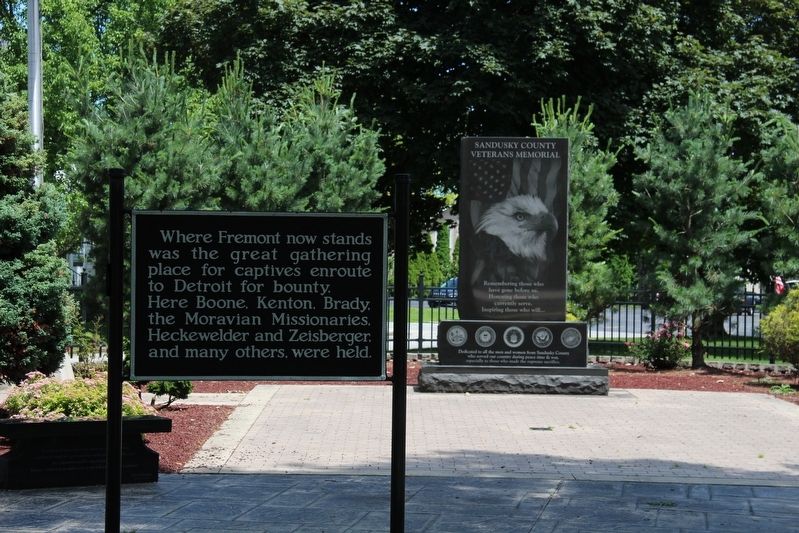
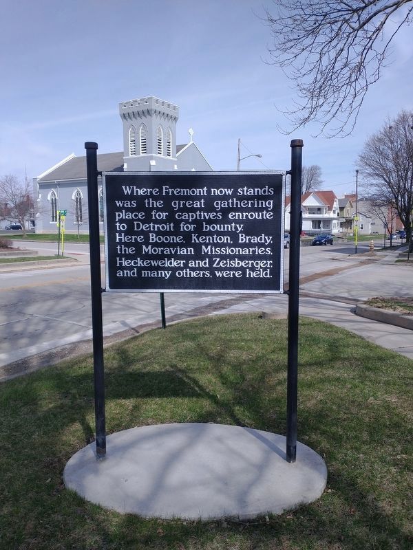
was the great gathering
place for captives enroute
to Detroit for bounty.
Here Boone, Kenton, Brady,
the Moravian Missionaries,
Heckewelder and Zeisberger,
and many others, were held.
Erected 1930 by Ohio Revolutionary Memorial Commission. (Marker Number C42.)
Topics and series. This historical marker is listed in these topic lists: Native Americans • Settlements & Settlers • War, US Revolutionary. In addition, it is included in the Ohio Revolutionary Memorial Commission series list.
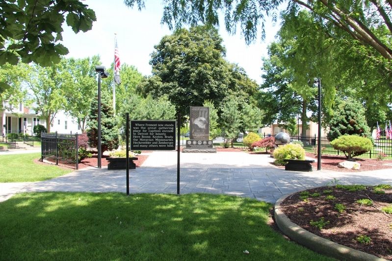
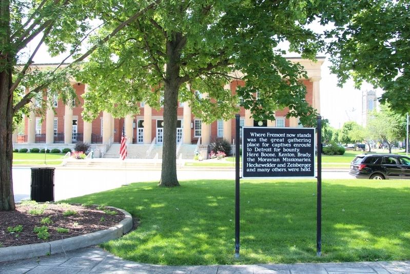
Location. 41° 20.83′ N, 83° 7.021′ W. Marker is in Fremont, Ohio, in Sandusky County. Marker is at the intersection of North Park Avenue and Court Street, on the right when traveling north on North Park Avenue. This marker is located in a municipal park, across the street, and east, from the Sandusky County Courthouse. Touch for map. Marker is in this post office area: Fremont OH 43420, United States of America. Touch for directions.
Other nearby markers. At least 8 other markers are within walking distance of this marker. Sandusky County Vietnam Veterans Killed In Action (a few steps from this marker); Veterans Memorial Flag (within shouting distance of this marker); Sandusky County Veterans Memorial (within shouting distance of this marker); Sandusky County Memorial Park (within shouting distance of this marker); Near This Spot (within shouting distance of this marker); United States Of America Congressional Medal Of Honor Recipients (within shouting distance of this marker); St. Paul's Church (within shouting distance of this marker); Fremont (within shouting distance of this marker). Touch for a list and map of all markers in Fremont.
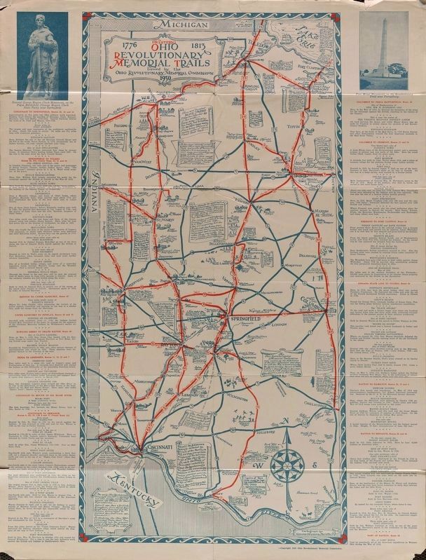
More about this marker. This historical marker was part of the Ohio Revolutionary Memorial Trail series (a type C marker) which was put in place in 1930 to celebrate the 150th anniversary of the Ohio's Revolutionary War era Battle of Piqua, by the Ohio Revolutionary Memorial Commission.
In order to accomplish this, in 1929 the state of Ohio created the Ohio Revolutionary Memorial Commission, and then in 1930 this commission created 22 military trails, throughout western Ohio, between Cincinnati, Ohio on the state's southern border and Toledo, Ohio on the state's northern border. Each of these military trails represented the routes, or trails, used by military leaders during either
the Revolutionary War, the Indian Wars of 1790 to 1795, or the War of 1812. Each of these military routes connected various related historical sites, that were marked with Ohio Revolutionary Memorial Commission (type C) markers, along each of the military trails.
The routes of these military trails were in turn marked by type A and type B Ohio Revolutionary Memorial Commission markers that served as directional (type B) and distance (type A) markers.
Originally, back in 1930, there were erected 70 some of these Ohio Revolutionary Memorial Commission, type C, markers. To date, there are only 20 some of them that have been located and posted on the Historical Marker database. A number of them are presently missing, and presumed to be permanently lost.
Back when this historical marker was first erected, in 1930, Front Street was then part of State Route 53 and State Street was then part of US 20. I suspect that like all the other Ohio Revolutionary Memorial Commission markers, this marker was originally located along either a state or federal highway, rather than in the municipal park. Probably it was situated along US 20, several blocks north of the park.
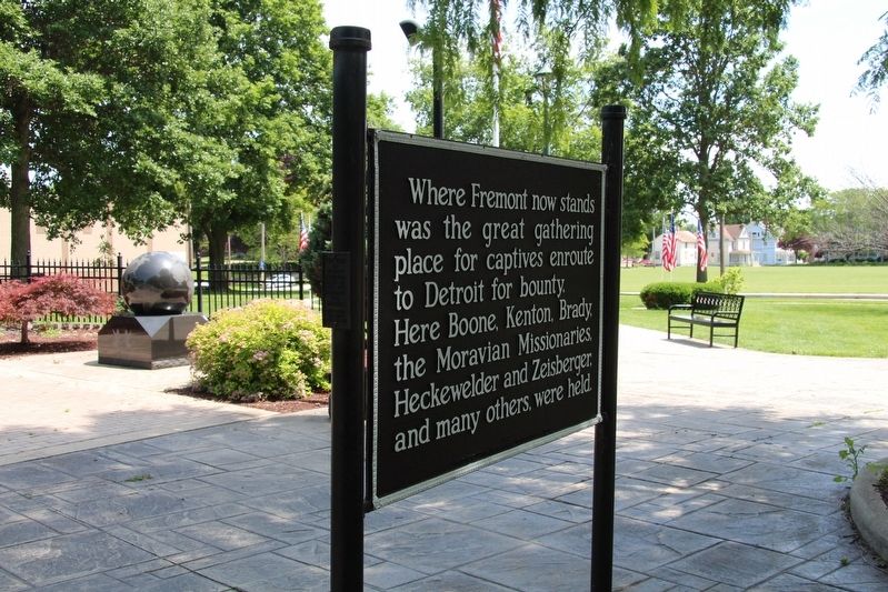
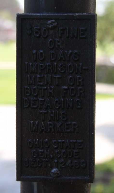
Although this marker is not on its original supporting posts, it is one of the few Ohio Revolutionary Memorial Commission markers to still have its warning, regarding the defacing of this marker
being a violation of the state's General Code of Law, attached to the side of one of the posts. This attachment states, "$50 fine or 10 days imprisonment or both for defacing this marker Ohio State General Code Section 12489."
On a side note, for close to 30 years I would coach girls basketball, and travel to Fremont Junior High School for at least one game every year. At the time, Fremont Junior High School was located across the street from the marker, just south of the park. So it was in the mid 1980s through the 1990s that whenever we came to play a game at Fremont, I would see this marker, but then, suddenly, it was gone. And for the rest of my coaching career I did not see it. However, during a recent trip to Fremont, I noticed that once again, this marker was situated in this municipal park, and I was glad to see that one of the few remaining Ohio Revolutionary Memorial Commission markers had been restored.
Also see . . . Ohio Revolutionary Memorial Trail System. A description of the Revolutionary Memorial Trail System developed by the state of Ohio in 1929 - 1930. (Submitted on June 24, 2019, by Dale K. Benington of Toledo, Ohio.)
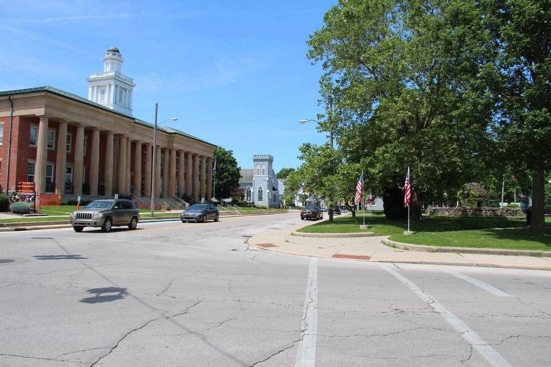
Photographed By Dale K. Benington, June 22, 2019
7. Great Gathering Place
View of the intersection of North Park Avenue and Croghan Street, with the marker being across the street from the Sandusky County Courthouse (seen on the left side of the picture) and in the municipal park (seen on the right side of the picture).
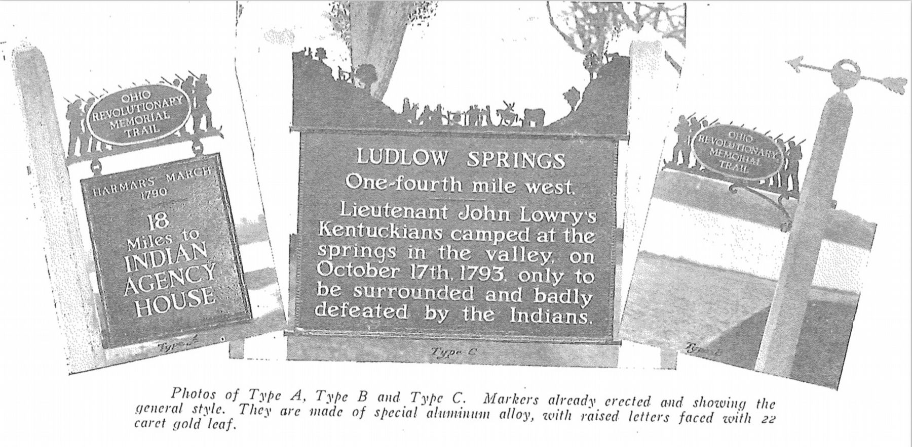
Image provided by Ohio Revolutionary Memorial Commission publication, dated 1931.
8. Ohio Revolutionary Memorial Commission Marker Types
View of the three types of markers used by the Ohio Revolutionary Memorial Commission. The marker on the left is a type A marker, the marker in the middle is a type C (just like our featured marker), and the marker on the right is a type B. For a better view double click on this picture.
Credits. This page was last revised on April 17, 2022. It was originally submitted on June 23, 2019, by Dale K. Benington of Toledo, Ohio. This page has been viewed 308 times since then and 17 times this year. Photos: 1, 2, 3, 4, 5, 6, 7, 8, 9. submitted on June 24, 2019, by Dale K. Benington of Toledo, Ohio. 10. submitted on April 8, 2022, by Craig Doda of Napoleon, Ohio.
