Mount Pleasant in Charleston County, South Carolina — The American South (South Atlantic)
One Hand Sanders / Prince's Ferry
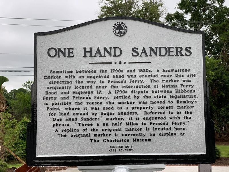
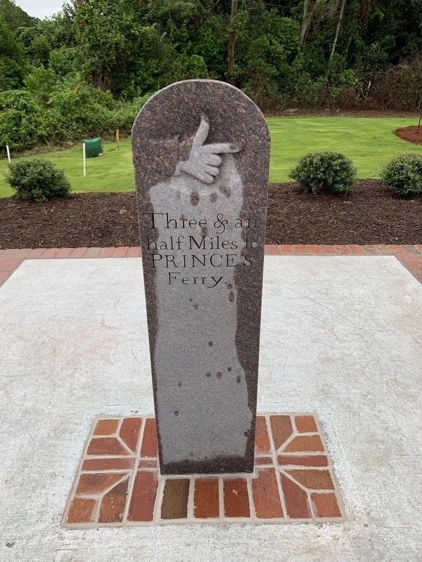
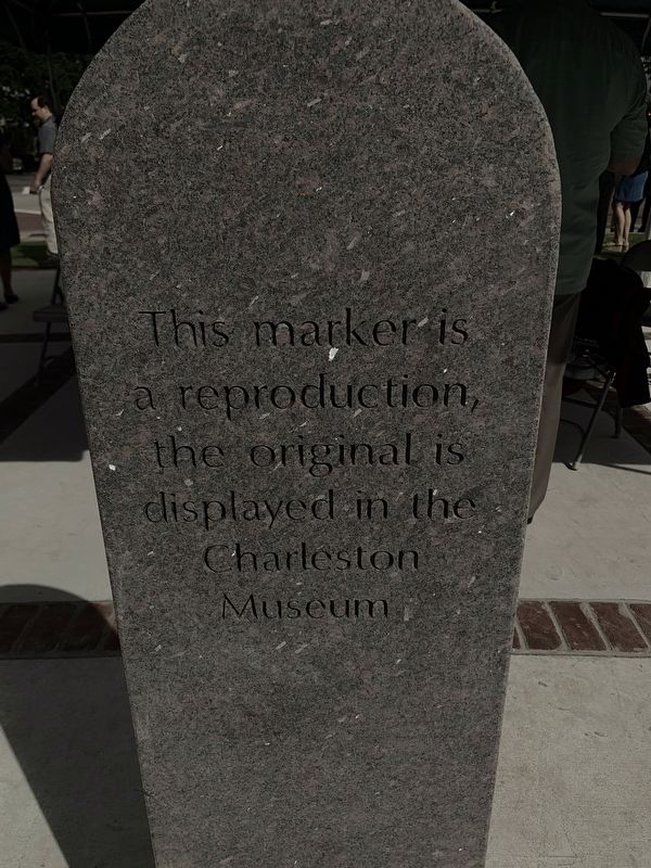
Sometime between the 1790s and 1820s, a brownstone marker with an engraved hand was erected near this site directing the way to Prince's Ferry. The marker was originally located near the intersection of Mathis Ferry Road and Highway 17. A 1790s dispute between Hibben's Ferry and Prince's Ferry, settled by the state legislature, is possibly the reason the marker was moved to Remley's Point, where it was used as a property corner marker for land owned by Roger Sanders. Referred to as the "One Hand Sanders" marker, it is engraved with the phrase "Three & an half Miles to Prince's Ferry." A replica of the original marker is located here. The original marker is currently on display at The Charleston Museum.
(Reverse):
Prince's Ferry
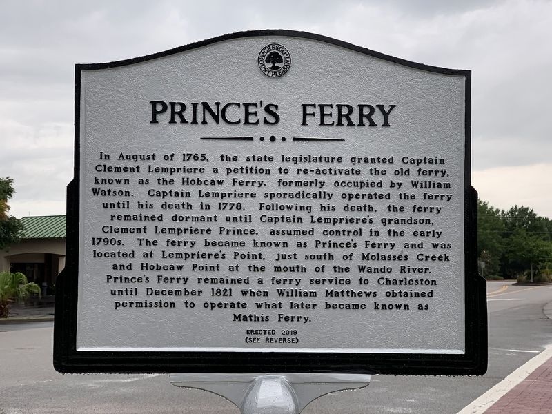
In August of 1765, the state legislature granted Captain Clement Lempriere a petition to re-activate the old ferry, known as the Hobcaw Ferry, formerly occupied by William Watson. Captain Lempriere sporadically operated the ferry until his death in 1778. Following his death, the ferry remained dormant until Captain Lempriere's grandson, Captain Lempriere Prince, assumed control in the early 1790s. The ferry became known as Prince's Ferry and was located at Lempriere's Point, just south of Molasses Creek and Hobcaw Point at the mouth of the Wando River. Prince's Ferry remained a ferry service to Charleston until December 1821 when William Matthews obtained permission to operate what later became known as Mathis Ferry.
Erected 2019.
Topics. This historical marker is listed in this topic list: Roads & Vehicles. A significant historical month for this entry is August 1765.
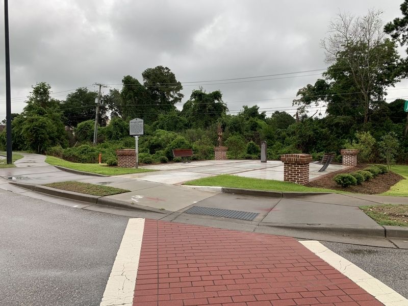
Location. 32° 48.11′ N, 79° 53.666′ W. Marker is in Mount Pleasant, South Carolina, in Charleston County. Marker is at the intersection of Magrath Darby Boulevard and Johnnie Dodds Boulevard, on the right when traveling north on Magrath Darby Boulevard. Touch for map. Marker is in this post office area: Mount Pleasant SC 29464, United States of America. Touch for directions.
Other nearby markers. At least 8 other markers are within walking distance of this marker. Channel 2 & Suzie Q (approx. ¼ mile away); Arthur Ravenel, Jr. Bridge (approx. 0.4 miles away); Harry M. Hallman, Jr. (approx. 0.4 miles away); Milton's Ferry Tavern (approx. half a mile away); The Cooper River Bridge / Silas N. Pearman Bridge (approx. half a mile away); Patriots Point Naval & Maritime Museum/The Medal of Honor Museum (approx. 0.6 miles away); Old Sunken Hull / BG James Estcourt Sawyer (approx. 0.6 miles away); Scanlonville (approx. 0.7 miles away). Touch for a list and map of all markers in Mount Pleasant.
Credits. This page was last revised on June 24, 2019. It was originally submitted on June 24, 2019, by Craig Swain of Leesburg, Virginia. This page has been viewed 405 times since then and 36 times this year. Photos: 1, 2, 3, 4, 5. submitted on June 24, 2019, by Craig Swain of Leesburg, Virginia.
