St. Kevin's Way
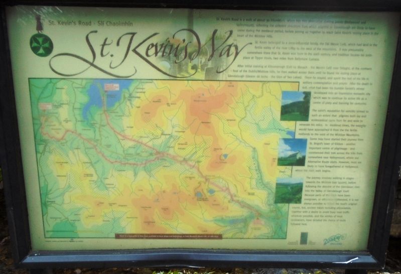
St. Kevin's Road is a walk of about 30 kilometers which has two alternative starting points (Hollywood and Valleymount), reflecting the different directions from which pilgrims to Glendalough are likely to have come during the medieval period, before joining up together to reach Saint Kevin's resting place in the heart of the Wicklow Hills.
St. Kevin belonged to a once-influential family, the Dál Messe Corb, which had land in the fertile valley of the river Liffey to the west of the mountains. It was presumably somewhere there that St. Kevin was born in the sixth century, and tradition locates his birthplace at Tipper Kevin, two miles from Ballymore Eustace.
After initial training at Kilnamanagh (Cell na Manach - the Monk's Cell) near Tallaght, at the northern foot of the Dublin/Wicklow hills, he then walked across them until he found his resting place at Glendalough (Gleann dá locha - the Glen of Two Lakes). There he stayed, and spent the rest of his life in solitary contemplation and prayer. After his death in 628, what had been his humble hermit's retreat developed into an impressive monastic city which was to continue its active life as a centre of piety and learning for centuries.
The saint's reputation for sanctity spread to such an extent that pilgrims both lay and ecclesiastical came from far and wide to
venerate his relics. In medieval times, the majority would have approached it from the fertile midlands to the west of the Wicklow Mountains. Some may have started their journey from St. Brigid's town of Kildare - another important centre of pilgrimage - and commenced their trek across the hills from somewhere near Valleymount, where our Alternative Route starts. However, most are likely to have foregathered at Hollywood, where the main walk begins.
The journey involves walking in stages toward the Wicklow Gap (450m), before following the descent of the Glendasan river into the Valley of Glendalough itself. Because parts of the track have been overgrown, or otherwise obliterated, it is not always possible to follow the road's original course, but, ancient traces including placenames, together with a desire to avoid busy road traffic wherever possible, and the wishes of local landowners, have dictated the choice of route followed here.
Topics. This historical marker is listed in this topic list: Churches & Religion.
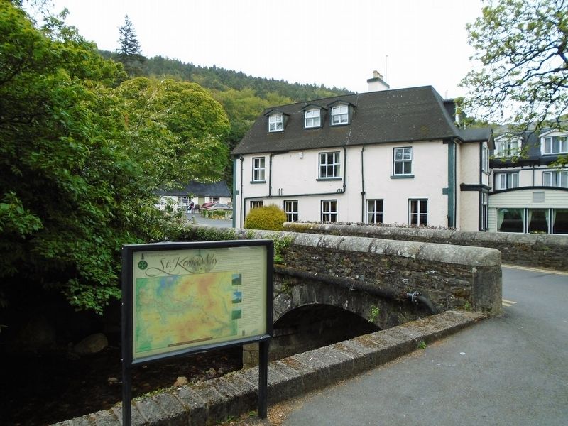
Location. 53° 0.679′ N, 6° 19.576′ W. Marker is in Glendalough, Leinster, in County Wicklow. Marker is on Leinster Route R757, on the left when traveling east. Touch for map. Marker is in this post office area: Glendalough, Leinster A98 HC80, Ireland. Touch for directions.
Other nearby markers. At least 8 other markers are within 23 kilometers of this marker, measured as the crow flies. An Geata / The Gateway (within shouting distance
Also see . . .
1. St. Kevin's Way. (Submitted on June 26, 2019, by William Fischer, Jr. of Scranton, Pennsylvania.)
2. St. Kevin's Way at Wikipedia. (Submitted on June 26, 2019, by William Fischer, Jr. of Scranton, Pennsylvania.)
Credits. This page was last revised on October 9, 2020. It was originally submitted on June 26, 2019, by William Fischer, Jr. of Scranton, Pennsylvania. This page has been viewed 201 times since then and 7 times this year. Photos: 1, 2. submitted on June 26, 2019, by William Fischer, Jr. of Scranton, Pennsylvania.

