Gulfport in Pinellas County, Florida — The American South (South Atlantic)
Rattlesnake Curve
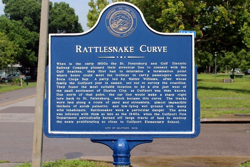
Photographed by Tim Fillmon, June 15, 2019
1. Rattlesnake Curve Marker
Erected 2014 by City of Gulfport.
Topics. This historical marker is listed in these topic lists:
this page online
Location. 27° 45.123′ N, 82° 42.399′ W. Marker is in Gulfport, Florida, in Pinellas County. It is at the intersection of 54th Street South and Tangerine Avenue South, on the left when traveling north on 54th Street South. Marker is in Tomilson Park. Touch for map. Marker is in this post office area: Saint Petersburg FL 33707, United States of America. Touch for directions.

Regionally, this marker is on Florida’s Gulf Coast and on Tampa Bay. It is also in the American South and on the Gulf Coast. Globally, it is in the North Atlantic Region, North America, a Gulf of Mexico state, the Western Hemisphere, the Western World, and the Anglosphere. Historically, it finds itself in what was once New Spain, the territory of the Mississippian Culture, one of the Confederate States of America, and the Antebellum South.
Other nearby markers. At least 8 other markers are within 3 miles of this marker, measured as the crow flies: Stetson University College of Law (approx. 0.8 miles away); Steven Jay Robin (approx. one mile away);
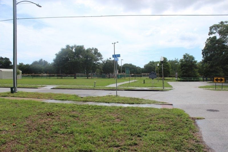
Photographed by Tim Fillmon, June 15, 2019
2. Rattlesnake Curve Marker in park
Another marker is no longer nearby. Al Lang Memorial Stadium for Little League Baseball (was approx. 0.9 miles away but has been confirmed missing).
Credits. This page was last revised on July 3, 2019. It was originally submitted on June 29, 2019, by Tim Fillmon of Webster, Florida. This page has been viewed 1,331 times since then and 70 times this year. Photos: 1, 2. submitted on June 29, 2019, by Tim Fillmon of Webster, Florida. • Andrew Ruppenstein was the editor who published this page.
