Farmington Hills in Oakland County, Michigan — The American Midwest (Great Lakes)
Buckhorn Corners
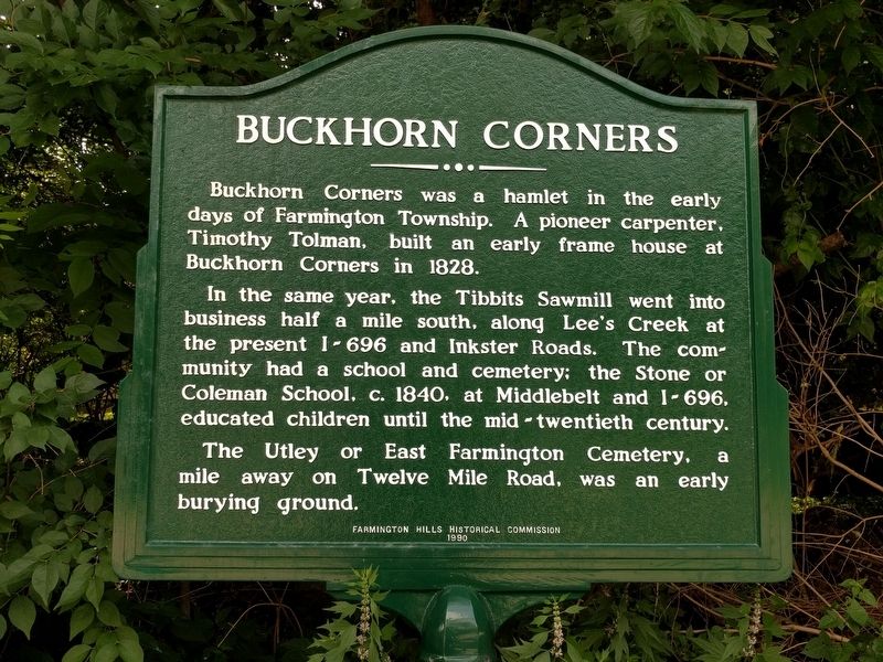
Buckhorn Corners was a hamlet in the early days of Farmington Township. A pioneer carpenter, Timothy Tolman, built an early frame house at Buckhorn Corners in 1828.
In the same year, the Tibbits Sawmill went into business half a mile south, along Lee's Creek at the present I-696 and Inkster Roads. The community had a school and cemetery; the Stone or Coleman School, c. 1840, at Middlebelt and I-696, educated children until the mid-twentieth century.
The Utley or East Farmington Cemetery, a mile away on Twelve Mile Road, was an early burying ground.
Erected 1990 by Farmington Hills Historical Commission.
Topics. This historical marker is listed in these topic lists: Cemeteries & Burial Sites • Education • Industry & Commerce • Settlements & Settlers. A significant historical year for this entry is 1828.
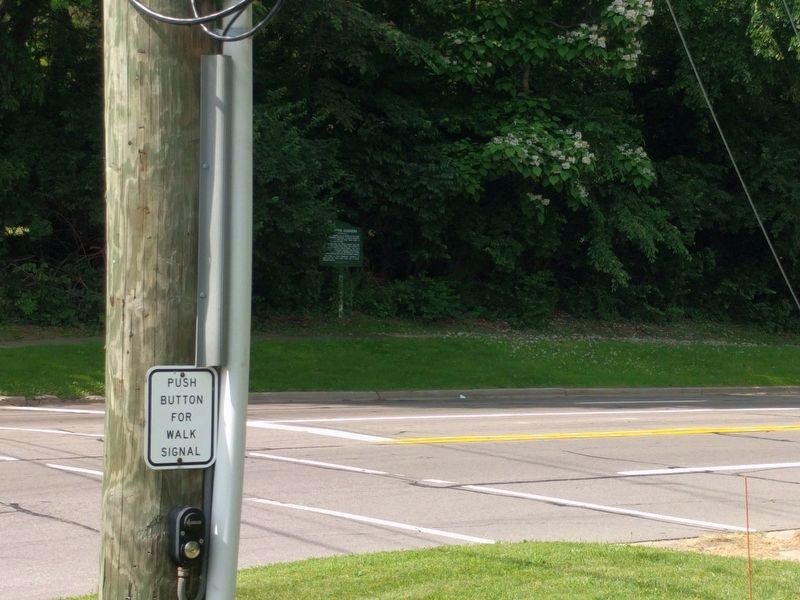
Location. 42° 30.004′ N, 83° 19.198′ W. Marker is in Farmington Hills, Michigan, in Oakland County. Marker is at the intersection of West Twelve Mile Road and Inkster Road, on the right when traveling east on West Twelve Mile Road. Touch for map. Marker is at or near this postal address: 27423 West Twelve Mile Road, Farmington MI 48334, United States of America. Touch for directions.
Other nearby markers. At least 8 other markers are within 2 miles of this marker, measured as the crow flies. St. Vincent and Sarah Fisher Center (within shouting distance of this marker); The Utley Cemetery (approx. half a mile away); Eli Stodgell House (approx. 1.1 miles away); Nardin Park United Methodist Church (approx. 1˝ miles away); Franklin Cemetery (approx. 1.7 miles away); Franklin Village School (approx. 1.8 miles away); Robert E. Cornillie's Vision (approx. 1.9 miles away); Kreger Farm Buildings (approx. 1.9 miles away). Touch for a list and map of all markers in Farmington Hills.
Credits. This page was last revised on July 2, 2019. It was originally submitted on July 1, 2019, by Joel Seewald of Madison Heights, Michigan. This page has been viewed 570 times since then and 82 times this year. Photos: 1, 2. submitted on July 1, 2019, by Joel Seewald of Madison Heights, Michigan.

