Near Sanders in Carroll County, Kentucky — The American South (East South Central)
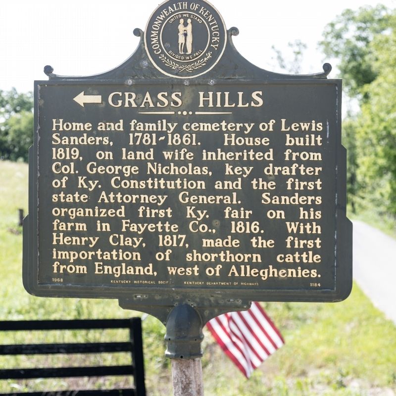
Grass Hills
Erected 1968 by Kentucky Historical Society and Kentucky Department of Highways. (Marker Number 1184.)
Topics and series. This historical marker is listed in these topic lists: Animals • Landmarks. In addition, it is included in the Kentucky Historical Society series list. A significant historical year for this entry is 1819.
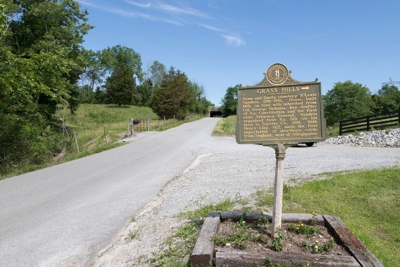
Location. 38° 40.242′ N, 85° 0.782′ W. Marker is near Sanders, Kentucky, in Carroll County. Marker is on Ghent-Eagle Station Road south of Dividing Ridge Road (Kentucky Route 2984), on the left when traveling south. It is near the underpass under I-71 but there is no exit here. Touch for map. Marker is at or near this postal address: 678 Ghent-Eagle Station Rd, Sanders KY 41083, United States of America. Touch for directions.
Other nearby markers. At least 8 other markers are within 6 miles of this marker, measured as the crow flies. Sanders (approx. 3.8 miles away); Ghent (approx. 5.3 miles away); James Tandy Ellis (approx. 5.3 miles away); Switzerland Wine County – Winemaking in Vevay (approx. 5.9 miles away in Indiana); Detraz House (approx. 5.9 miles away in Indiana); Hall House - 1842 (approx. 5.9 miles away in Indiana); Roxy House - 1814 (approx. 6 miles away in Indiana); Stevens House (approx. 6 miles away in Indiana).
Credits. This page was last revised on October 21, 2020. It was originally submitted on July 2, 2019, by J. J. Prats of Powell, Ohio. This page has been viewed 422 times since then and 45 times this year. Photos: 1, 2. submitted on July 2, 2019, by J. J. Prats of Powell, Ohio.
Editor’s want-list for this marker. Photos of the house and cemetery • Can you help?

