Southside in Berkeley in Alameda County, California — The American West (Pacific Coastal)
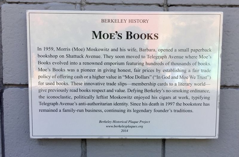
Moe's Books
Berkeley History
Photographed by Andrew Ruppenstein, July 3, 2019
1. Moe's Books Marker
www.berkeleyplaques.org
2014
Erected 2014 by Berkeley Historical Plaque Project.
Topics. This historical marker is listed in this topic list: Industry & Commerce. A significant historical year for this entry is 1959.
Location. 37° 51.93′ N, 122° 15.518′ W.
this page online

Regionally, this marker is in California’s San Francisco Bay Area and on the Coast Ranges. It is also on the American Pacific Coast. Globally, it is in North America, on the Ring of Fire, in the Pacific Rim, in the Western Hemisphere, in the Western World, and in the Anglosphere. Historically, it finds itself in what was once New Spain and also Mexico’s Alta California.
Other nearby markers. At least 8 other markers are within walking distance of this marker: “A People’s History of Telegraph Avenue” (within shouting distance of this marker); Mrs. E.P. (Stella) King Building (within shouting distance of this marker); Soda Works Building (within shouting distance of this marker); "In Tribute to Chiura Obata" (about 400 feet away, measured in a direct line); J. Gorman & Son Building (about 700 feet away); First Church of Christ, Scientist
Photographed by Andrew Ruppenstein, July 3, 2019
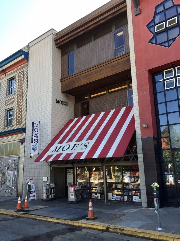
2. Moe's Books and Marker
The marker is visible just to the left of the entrance.
Credits. This page was last revised on February 7, 2023. It was originally submitted on July 3, 2019, by Andrew Ruppenstein of Lamorinda, California. This page has been viewed 614 times since then and 40 times this year. Photos: 1, 2. submitted on July 3, 2019, by Andrew Ruppenstein of Lamorinda, California.
