New Castle in Henry County, Kentucky — The American South (East South Central)
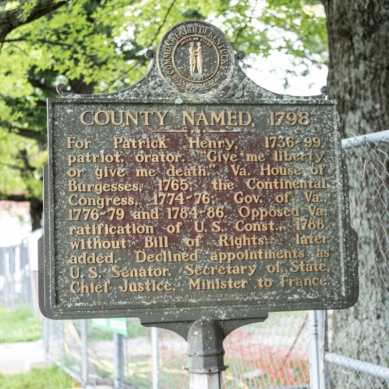
County Named, 1798
Erected 1965 by Kentucky Historical Society and Kentucky Department of Highways. (Marker Number 805.)
Topics and series. This historical marker is listed in these topic lists: Patriots & Patriotism • Political Subdivisions. In addition, it is included in the Kentucky Historical Society series list. A significant historical year for this entry is 1798.
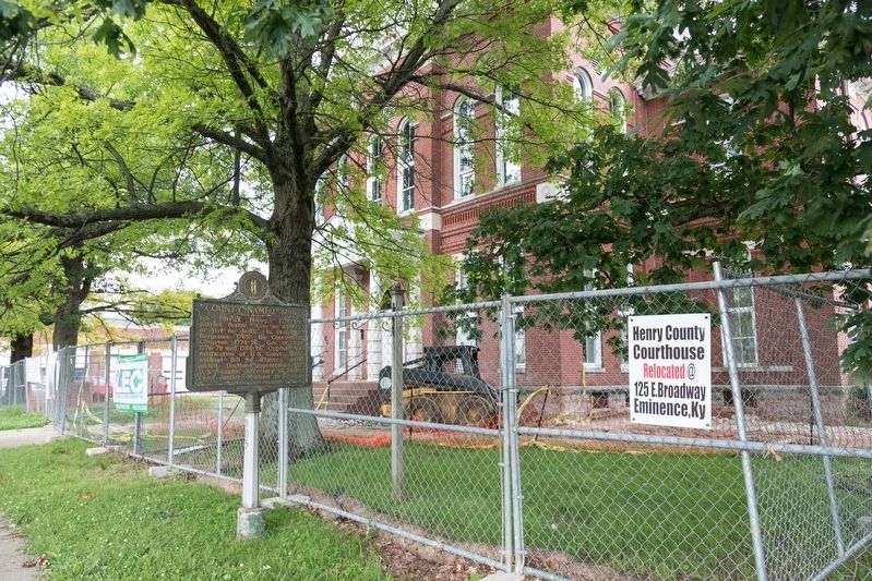
Location. 38° 26.015′ N, 85° 10.187′ W. Marker is in New Castle, Kentucky, in Henry County. Marker is on North Main Street (U.S. 421) near East Cross Main Street (Kentucky Route 573), on the right when traveling north. It is at the courthouse. Touch for map. Marker is at or near this postal address: 30 N Main St, New Castle KY 40050, United States of America. Touch for directions.
Other nearby markers. At least 8 other markers are within 9 miles of this marker, measured as the crow flies. Grand United Order of Odd Fellows (about 300 feet away, measured in a direct line); Drennon Springs (approx. 0.4 miles away); Civil War Actions (approx. half a mile away); Old Pollard Inn (approx. 3.6 miles away); Confederate Soldiers Monument (approx. 5.2 miles away); Eminence College Site / Rev. W.S. Giltner (approx. 5.3 miles away); Dutch Colony Here (approx. 7.1 miles away); a different marker also named Drennon Springs (approx. 8.8 miles away). Touch for a list and map of all markers in New Castle.
Credits. This page was last revised on July 4, 2019. It was originally submitted on July 4, 2019, by J. J. Prats of Powell, Ohio. This page has been viewed 201 times since then and 11 times this year. Photos: 1, 2. submitted on July 4, 2019, by J. J. Prats of Powell, Ohio.

