
Millinocket in Penobscot County, Maine — The American Northeast (New England)
The Golden Road
- Built for today’s log drivers -
Photographed by Bill Coughlin, July 3, 2019
1. The Golden Road Marker
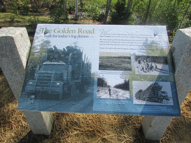
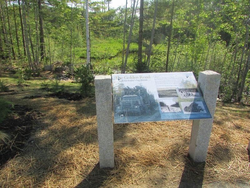
Welcome to the Golden Road, a 96-mile private road built by the Great Northern Paper Company that stretches from the Canadian border crossing to Millinocket, Maine.
The road, which parallels the West Branch of the Penobscot River, was built between 1969 and 1972 to bring raw wood to the mill. The new road ended log driving, the practice of floating logs down the river, and instead logs were hauled by trucks.
Today, the road is still used by logging companies to transport locally harvested wood.
Erected 2019.
Topics. This historical marker is listed in these topic lists: Industry & Commerce • Roads & Vehicles. A significant historical year for this entry is 1969.
Location. 45° 43.79′ N, 68° 50.299′ W. Marker is in Millinocket, Maine, in Penobscot County. It is on Millinocket Lake Road, on the right when traveling west. Marker is located in a Katahdin Woods & Water Scenic Byway information station. Touch for map. Marker is at or near this postal address: 1605 Millinocket Lake Road, Millinocket ME 04462, United States of America. Touch for directions.

Regionally, this marker is in the Maine Highlands. It is also in
this page online
Other nearby markers. At least 5 other markers are within 14 miles of this marker, measured as the crow flies: Destination Katahdin! (here, next to this marker); Want to see a moose? Think like one! (within shouting distance of this marker); Mount Katahdin (approx. 12.7 miles away); Katahdin (approx. 12.7 miles away); Baxter State Park (approx. 13.2 miles away).
More about this marker. Four photographs at the bottom right of the marker contain the captions: “Prior to the construction of the road, the river was used to transport raw wood down to the mill, and log jams were common.”; “River drivers were hired to push logs down the river to the mill in Millinocket.”; “It took three years to clear and build the 96 mile long Golden Road through Maine’s North Woods.”; and “A 34-wheel rig believed to be one of the largest wood hauling trucks in the United States. It carried
Photographed by Bill Coughlin, July 3, 2019
2. The Golden Road Marker
Photographed by Bill Coughlin, July 3, 2019
3. Marker in Millinocket
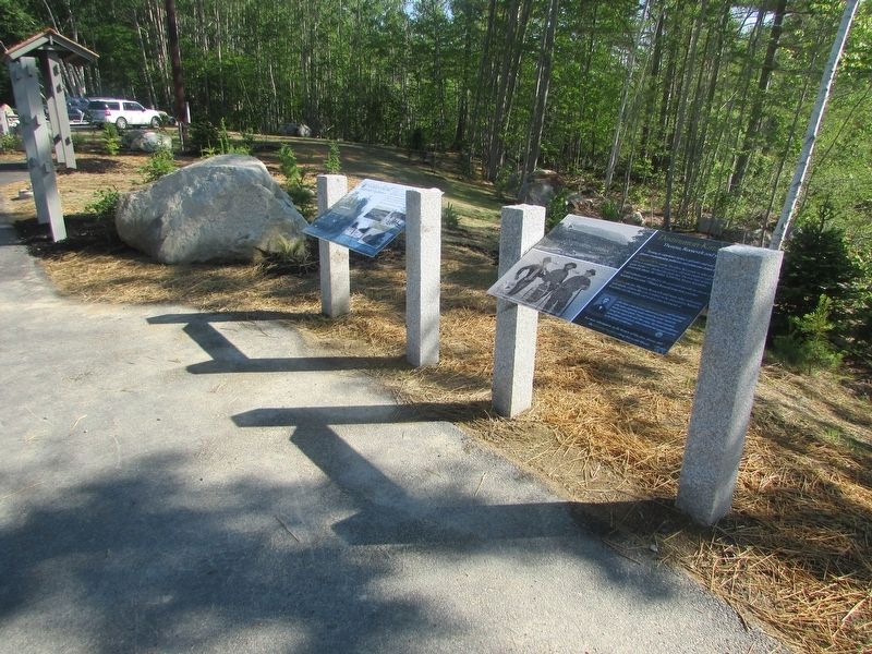
There are several markers at this site. The Golden Road marker is seen here on the left.
Photographed by Bill Coughlin, June 28, 2019
4. The Golden Road Marker
The Golden Road marker is one of several found at this Katahdin Woods & Water Scenic Byway information station.
Credits. This page was last revised on November 21, 2024. It was originally submitted on July 5, 2019, by Bill Coughlin of Woodland Park, New Jersey. This page has been viewed 1,499 times since then and 70 times this year. Photos: 1, 2, 3, 4. submitted on July 5, 2019, by Bill Coughlin of Woodland Park, New Jersey.
