Georgetown in Grant Parish, Louisiana — The American South (West South Central)
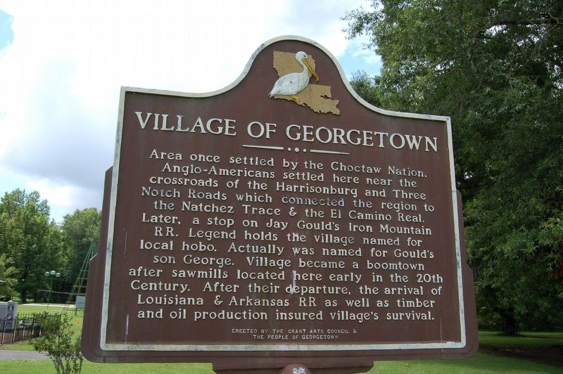
Village of Georgetown
Area once settled by the Choctaw Nation. Anglo-Americans settled here near the crossroads of the Harrisonburg and Three Notch Roads which connected the region to the Natchez Trace & the El Camino Real. Later, a stop on Jay Gould's Iron Mountain RR. Legend holds the village named for local hobo. Actually was named for Gould's son George. Village became a boomtown after sawmills located here early in the 20th Century. After their departure, the arrival of Louisiana & Arkansas RR as well as timber and oil production insured village's survival.
Erected by Grant Arts Council & The People of Georgetown.
Topics. This historical marker is listed in this topic list: Settlements & Settlers.
Location. 31° 45.598′ N, 92° 23.144′ W. Marker is in Georgetown, Louisiana, in Grant Parish. Marker is on State Highway 500 near U.S. 167. Touch for map. Marker is at or near this postal address: 4465 LA-500, Georgetown LA 71432, United States of America. Touch for directions.
Other nearby markers. At least 3 other markers are within 16 miles of this marker, measured as the crow flies. Nightriders (approx. 11.7 miles away); Town of Olla (approx. 13 miles away); Village of Dry Prong (approx. 15.2 miles away).
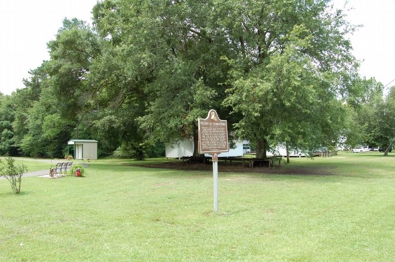
More about this marker. Located at in town park.
Credits. This page was last revised on February 24, 2024. It was originally submitted on July 7, 2019, by Cajun Scrambler of Assumption, Louisiana. This page has been viewed 283 times since then and 40 times this year. Photos: 1, 2. submitted on July 7, 2019.

