Mount Olivet in Robertson County, Kentucky — The American South (East South Central)
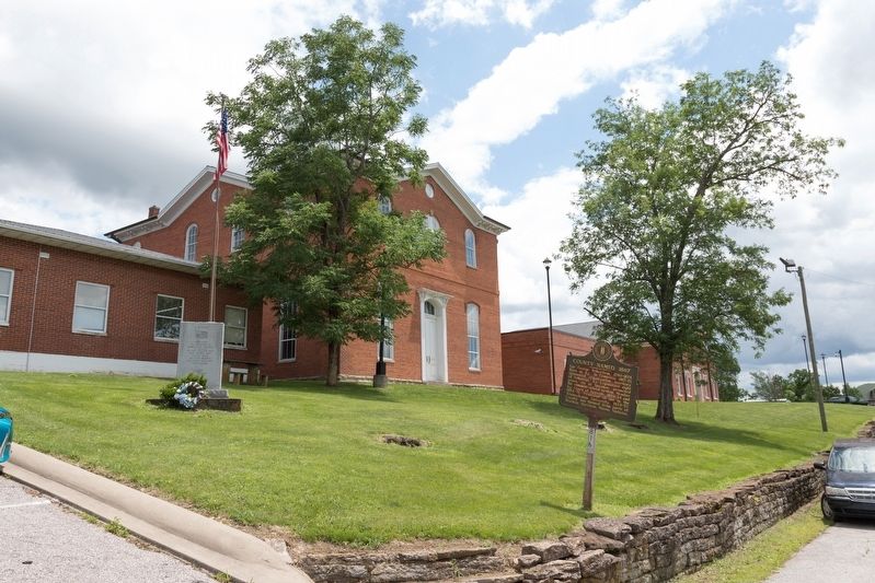
County Named, 1867
Erected 1965 by Kentucky Historical Society and Kentucky Department of Highways. (Marker Number 816.)
Topics and series. This historical marker is listed in these topic lists: Government & Politics • Political Subdivisions. In addition, it is included in the Kentucky Historical Society series list. A significant historical year for this entry is 1867.
Location. 38° 31.893′ N, 84° 2.167′ W. Marker is in Mount Olivet, Kentucky, in Robertson County. Marker is at the intersection of East Walnut Street and Court Street, on the left when traveling east on East Walnut Street. It is at the courthouse. Touch for map. Marker is at or near this postal address: 26 Court St, Mount Olivet KY 41064, United States of America. Touch for directions.
Other nearby markers. At least 8 other markers are within 8 miles of this marker, measured as the crow flies. Robertson County Veterans Memorial (a few steps from this marker); Morgan’s Last Raid (approx. 0.4 miles away); a different marker also named Morgan’s Last Raid (approx. 5 miles away); Blue Licks Battlefield (approx. 7.1 miles away); The Martyrs of the Last Battle of The Revolution (approx. 7.2 miles away); Unknown Heros of the Battle of the Blue Licks (approx. 7.2 miles away); a different marker also named Blue Licks Battlefield (approx. 7.2 miles away); Patriot-Pioneer (approx. 7.2 miles away). Touch for a list and map of all markers in Mount Olivet.
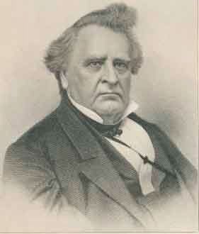
Also see . . . Wikipedia entry for George Robertson. “He declined the appointment as Governor of Arkansas Territory tendered by President James Monroe and the diplomatic posts of United States Minister to Colombia in 1824 and to Peru in 1828. He served as Secretary of State of Kentucky in 1828. He was appointed associate justice of the Kentucky Court of Appeals in 1829 and served as chief justice from 1829 to 1834, when he resigned.” (Submitted on July 8, 2019.)
Credits. This page was last revised on July 8, 2019. It was originally submitted on July 8, 2019, by J. J. Prats of Powell, Ohio. This page has been viewed 121 times since then and 13 times this year. Photos: 1, 2, 3. submitted on July 8, 2019, by J. J. Prats of Powell, Ohio.


