Mount Olivet in Robertson County, Kentucky — The American South (East South Central)
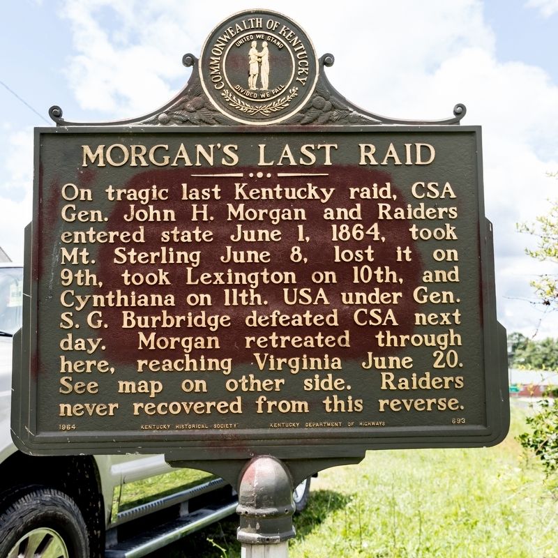
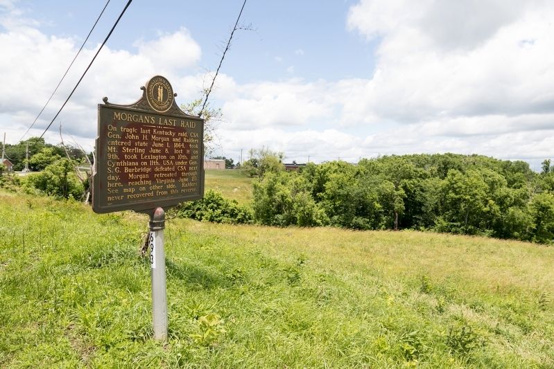
Morganís Last Raid
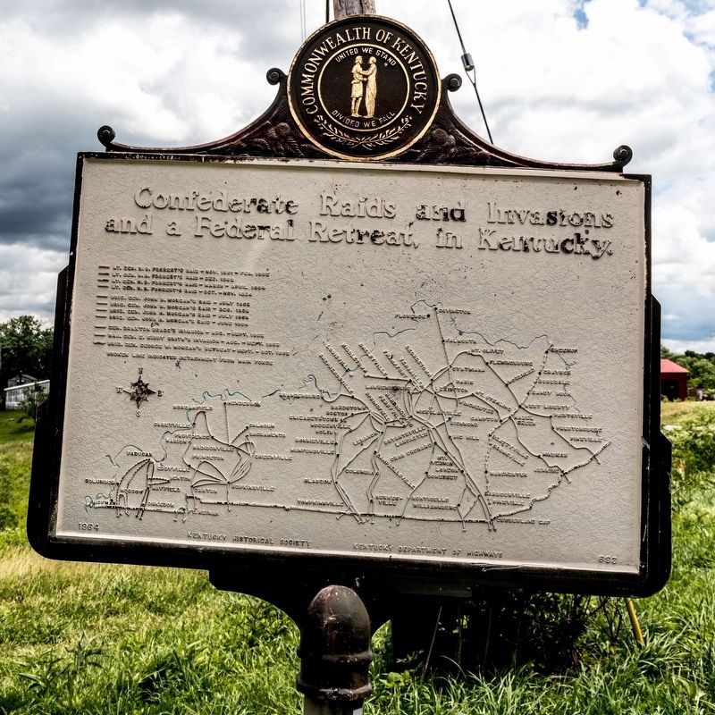
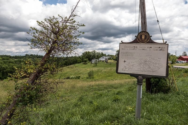
Confederate Raids and Invasions, and a Federal Retreat, in Kentucky
Erected 1964 by Kentucky Historical Society and Kentucky Department of Highways. (Marker Number 693.)
Topics and series. This historical marker is listed in this topic list: War, US Civil. In addition, it is included in the Kentucky - Confederate Raids and Invasions, and a Federal Retreat, and the Kentucky Historical Society series lists. A significant historical date for this entry is June 1, 1864.
Location. 38° 32.069′ N, 84° 1.799′ W. Marker is in Mount Olivet, Kentucky, in Robertson County. Marker is on Sardis Road (U.S. 62) just east of the post office, on the left when traveling east. Touch for map. Marker is in this post office area: Mount Olivet KY 41064, United States of America. Touch for directions.
Other nearby markers. At least 8 other markers are within 8 miles of this marker, measured as the crow flies. Robertson County Veterans Memorial (approx. 0.4 miles away); County Named, 1867 (approx. 0.4 miles away); a different marker also named Morganís Last Raid (approx. 4.6 miles away); Blue Licks Battlefield (approx. 7.2 miles away); Unknown Heros of the Battle of the Blue Licks (approx. 7.3 miles away); The Martyrs of the Last Battle of The Revolution (approx. 7.3 miles away); a different marker also named Blue Licks Battlefield (approx. 7.3 miles away); Patriot-Pioneer (approx. 7.3 miles away). Touch for a list and map of all markers in Mount Olivet.
Credits. This page was last revised on March 12, 2020. It was originally submitted on July 8, 2019, by J. J. Prats of Powell, Ohio. This page has been viewed 277 times since then and 24 times this year. Photos: 1, 2, 3, 4. submitted on July 8, 2019, by J. J. Prats of Powell, Ohio.


