
Catonsville in Baltimore County, Maryland — The American Northeast (Mid-Atlantic)
Catonsville Nine
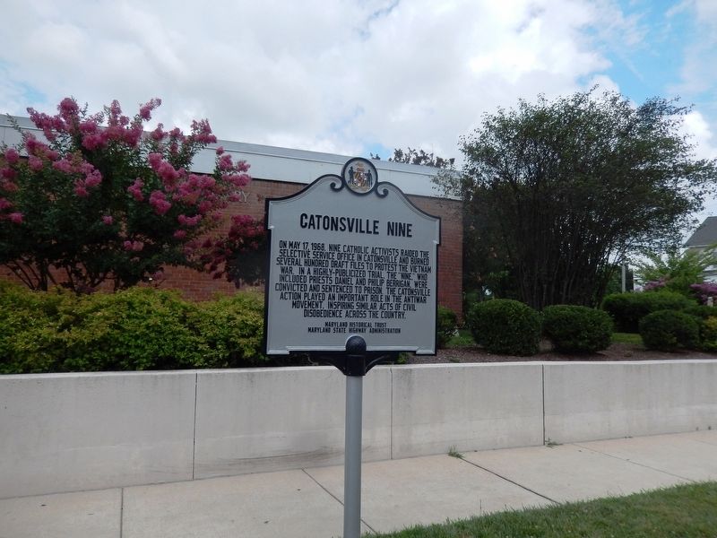
Photographed by Don Morfe, July 7, 2019
1. Catonsville Nine Marker
Erected 2018 by Maryland Historical Trust, Maryland State Highway Administration.
Topics and series. This historical marker is listed in these topic lists: Peace • Religion & Religious Structures • War, Vietnam. In addition, it is included in the Maryland Historical Trust series list. A significant historical date for this entry is May 17, 1968.
Location. 39° 16.218′ N, 76° 44.382′ W. Marker is in Catonsville, Maryland, in Baltimore County. It is at the intersection of Frederick Road and North Beaumont Avenue, on the left when traveling east on Frederick Road. The marker is located in front of the Baltimore County Public Library-Catonsville Branch. Touch for map. Marker is at or near this postal address: 1100 Frederick Road, Catonsville MD 21228, United States of America. Touch for directions.

Regionally, this marker is in the Baltimore Metro Region and in Central Maryland. It is also in the American Mid-Atlantic,
this page online
Other nearby markers. At least 8 other markers are within walking distance of this marker: Castle Thunder (within shouting distance of this marker); Baltimore Regional Trail (about 300 feet away, measured in a direct line); The Wye Oak (approx. 0.3 miles away); Rolling Road (approx. 0.3 miles away); Catonsville (approx. 0.3 miles away); The Catonsville Short Line Railroad (approx. 0.3 miles away); Catonsville Veterans Memorial (approx. 0.4 miles away); The Streetcar Era in Catonsville (approx. 0.4 miles away). Touch for a list and map of all markers in Catonsville.
Also see . . . Once prosecuted, now honored, Catonsville Nine get a memorial marker (Balt. Sun, May 8, 2018). (Submitted on July 10, 2019.)
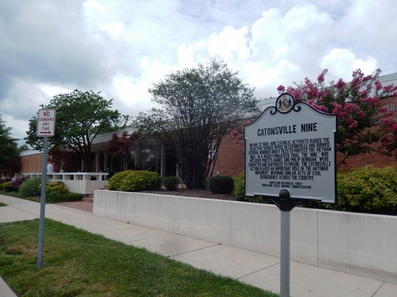
Photographed by Don Morfe, July 7, 2019
2. Catonsville Nine Marker
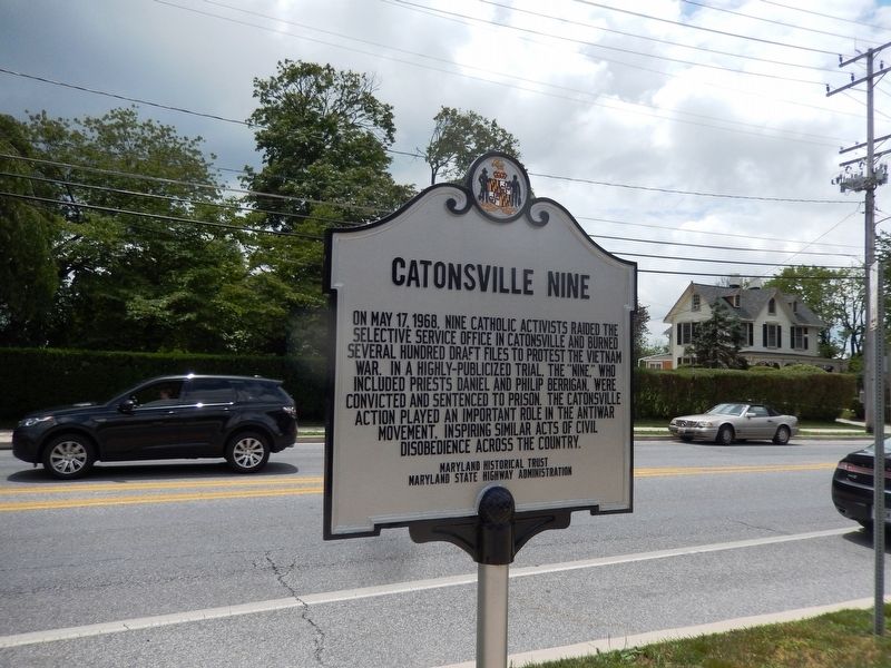
Photographed by Don Morfe, July 7, 2019
3. Catonsville Nine Marker
Reverse side of the marker is the same inscription as the front.
Credits. This page was last revised on December 9, 2021. It was originally submitted on July 9, 2019, by Don Morfe of Baltimore, Maryland. This page has been viewed 1,177 times since then and 75 times this year. Photos: 1, 2, 3. submitted on July 9, 2019, by Don Morfe of Baltimore, Maryland. • Andrew Ruppenstein was the editor who published this page.
