Greenfield in Milwaukee County, Wisconsin — The American Midwest (Great Lakes)
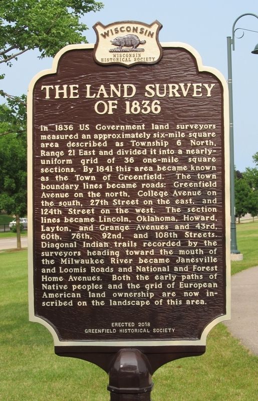
The Land Survey of 1836
⎯⎯⎯
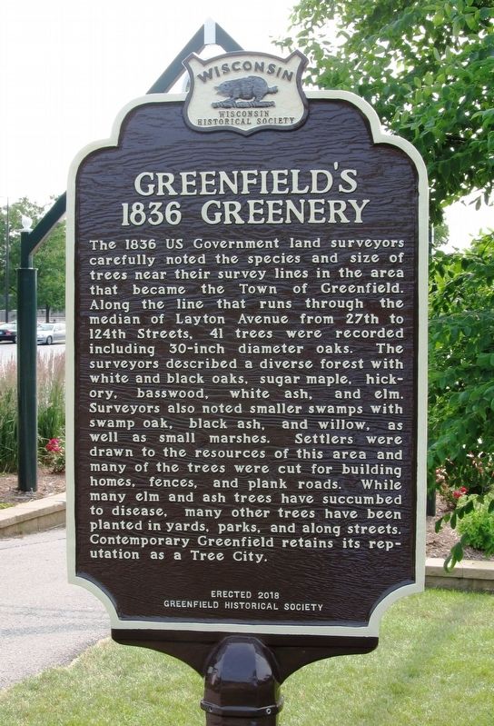
Greenfield’s 1836 Greenery
Photographed by Paul Fehrenbach, July 9, 2019
1. The Land Survey of 1836 Marker
In 1836 US Government land surveyors measured an approximately six-mile square area described as Township 6 North, Range 21 East and divided it into a nearly-uniform grid of 36 one-mile square sections. By 1841 this area became known as the town of Greenfield. The town boundary lines became roads: Greenfield Avenue on the north, College Avenue on the south, 27th Street on the east, and 124th Street on the west. The section lines became Lincoln, Oklahoma, Howard, Layton, and Grange Avenues and 43rd, 60th, 76th, 92nd, and 108th Streets. Diagonal Indian trails recorded by the surveyors heading toward the mouth of the Milwaukee River became Janesville and Loomis Roads and National and Forest Home Avenues. Both the early paths of Native peoples and the grid of European American land ownership are now inscribed on the landscape of this area.
Greenfield’s 1836 Greenery
The 1836 US Government land surveyors carefully noted the species and size of trees near their survey lines in the area that became the Town of Greenfield. Along the line that runs through the median of Layton Avenue from 27th to 124th Streets, 41 trees were recorded including 30-inch diameter oaks. The surveyors described a diverse forest with white and black oaks, sugar maple, hickory, basswood, white ash, and elm. Surveyors also noted smaller swamps with swamp oak, black ash, and willow, as well as small marshes. Settlers were drawn to this area and many trees were cut for building homes, fences, and plank roads. While many elm and ash trees have succumbed to disease, many other trees have been planted in yards, parks, and along streets. Contemporary Greenfield retains its reputation as a Tree City.
Erected 2018 by Wisconsin Historical Society and Greenfield Historical Society. (Marker Number 578.)
Topics and series.
this page online
Location. 42° 57.539′ N, 87° 58.669′ W. Marker is in Greenfield, Wisconsin, in Milwaukee County. It can be reached from West Layton Avenue half a mile east of South 60th Street. Marker is located in Konkel Park, near the entrance to the City Market, near the bank shell. Touch for map. Marker is at or near this postal address: 5151 W Layton Avenue, Milwaukee WI 53220, United States of America. Touch for directions.

Regionally, this marker is in Southeast Wisconsin and in Greater Milwaukee. It is also in the American Midwest and in the Corn Belt. Globally, it is in North America, on the Great Lakes, in the Western Hemisphere, in the Western World, and in the Anglosphere. Historically, it finds itself in what was once the territory of the Mississippian Culture and also the Northwest Territory.
Other nearby markers. At least 8 other markers are within 2 miles of this marker, measured as the crow flies:
Photographed by Paul Fehrenbach, July 9, 2019
2. Greenfield’s 1836 Greenery Marker
Another marker is no longer nearby. Greendale, Wisconsin (was approx. 1½ miles away but has been confirmed missing).
More about this marker. Marker is part of the Wisconsin Historical Society official markers, No. 578
Photographed by Paul Fehrenbach, July 9, 2019
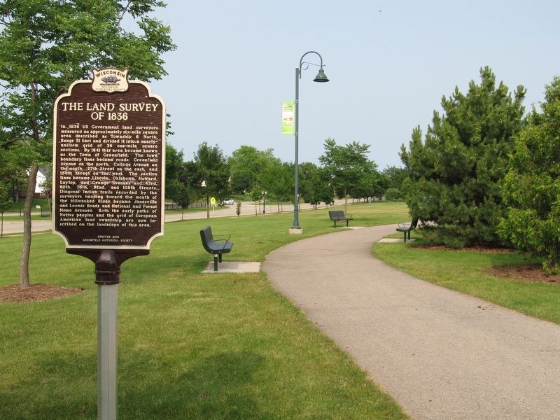
3. The Land Survey of 1836 Marker
Looking east at marker
Photographed by Paul Fehrenbach, July 9, 2019
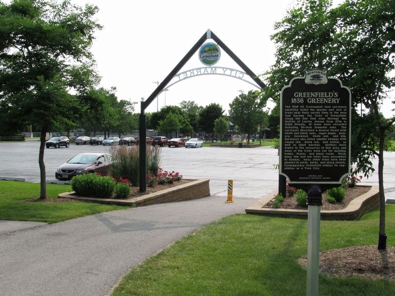
4. Greenfield’s 1836 Greenery Marker
Looking west toward parking lot and City Market archway.
Credits. This page was last revised on July 10, 2019. It was originally submitted on July 9, 2019, by Paul Fehrenbach of Richfield, Wisconsin. This page has been viewed 722 times since then and 63 times this year. Photos: 1, 2, 3, 4. submitted on July 9, 2019, by Paul Fehrenbach of Richfield, Wisconsin. • Andrew Ruppenstein was the editor who published this page.
