
Moraga in Contra Costa County, California — The American West (Pacific Coastal)
Hacienda de las Flores
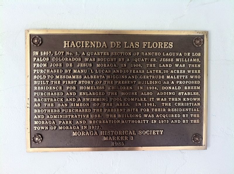
Photographed by Andrew Ruppenstein, September 30, 2012
1. Hacienda de las Flores Marker
Erected 1985 by Moraga Historical Society.
Topics. This historical marker is listed in these topic lists: Notable Buildings • Settlements & Settlers. A significant historical year for this entry is 1857.
Location. 37° 51.144′ N, 122° 7.618′ W. Marker is in Moraga, California, in Contra Costa County. It can be reached from Donald Drive. Touch for map.
this page online

Regionally, this marker is in California’s San Francisco Bay Area and on the Coast Ranges. It is also on the American Pacific Coast. Globally, it is in North America, on the Ring of Fire, in the Pacific Rim, in the Western Hemisphere, in the Western World, and in the Anglosphere. Historically, it finds itself in what was once New Spain and also Mexico’s Alta California.
Other nearby markers. At least 8 other markers are within 3 miles of this marker, measured as the crow flies: Joseph Joachin Moraga (approx. 0.8 miles away); Old Moraga Townsite (approx. 1.3 miles away); Moraga Barn (approx. 1.3 miles away); Moraga Train Station (approx. 1.3 miles away); Willow Spring School II (approx. 1.4 miles away); The Joaquin Moraga Adobe (approx. 1.6 miles away); Buehler House (approx. 2.4 miles away); Lafayette Town Hall (approx. 2½ miles away). Touch for a list and map of all markers in Moraga.
Also see . . . Hacienda de las Flores Turns 100 (LaMorinda Weekly, May 4, 2016). (Submitted on July 10, 2019.)
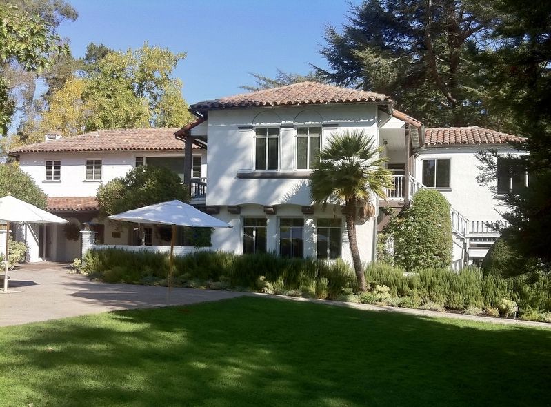
Photographed by Andrew Ruppenstein, September 30, 2012
2. Hacienda de las Flores and Marker
The marker is visible here on the south side of the building, under the veranda (and to the left of the umbrella).
Credits. This page was last revised on July 10, 2019. It was originally submitted on July 10, 2019, by Andrew Ruppenstein of Lamorinda, California. This page has been viewed 403 times since then and 26 times this year. Photos: 1, 2. submitted on July 10, 2019, by Andrew Ruppenstein of Lamorinda, California.
