Manchester in Adams County, Ohio — The American Midwest (Great Lakes)
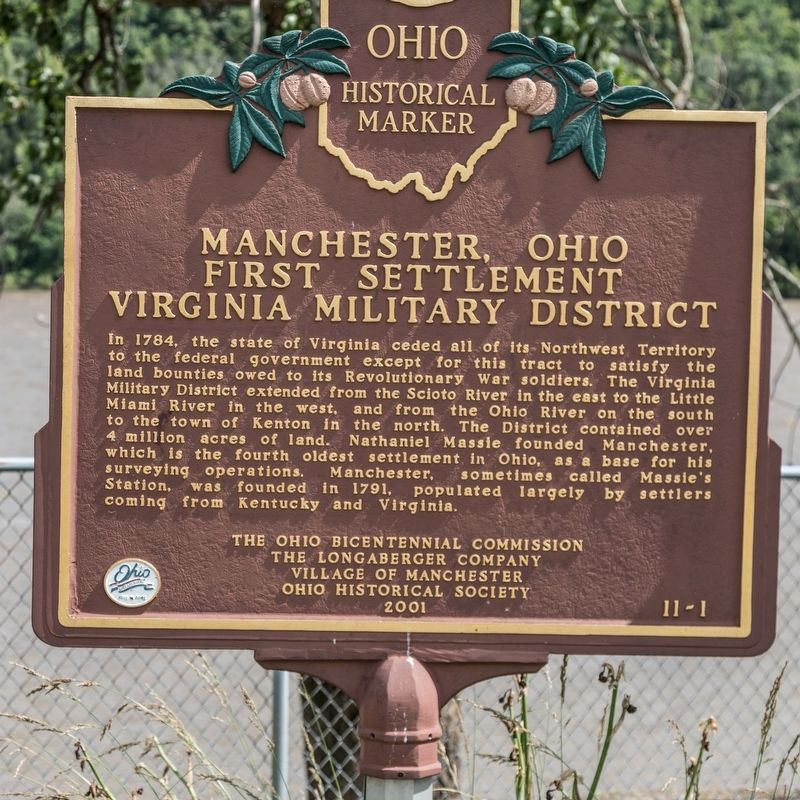
Manchester, Ohio
First Settlement, Virginia Military District
Photographed by J. J. Prats, June 13, 2019
1. Virginia Military District Marker
Erected 2001 by the Ohio Bicentennial Commission, the Longaberger Company, Village of Manchester, and The Ohio Historical Society. (Marker Number 11-1.)
Topics and series. This historical marker is listed in this topic list: Settlements & Settlers. In addition, it is included in the Ohio Historical Society / The Ohio History Connection series list. A significant historical year for this entry is 1784.
Location. 38° 41.145′ N, 83° 36.59′ W. Marker is in Manchester, Ohio, in Adams County. It is at the intersection of West Front Street and Pearl Street, on the right when traveling west on West Front Street. It is next to the picnic pavilion
this page online

Regionally, this marker is in Southern Ohio Hill Country. It is also in the American Midwest, in the Ohio River Valley, in Appalachia, and specifically in Northern Appalachia. Globally, it is in North America, the Western Hemisphere, the Western World, and the Anglosphere. Historically, it finds itself in what was once the Haudenosaunee (Iroquois) Confederacy, the territory of the Mississippian Culture, and the Northwest Territory.
Other nearby markers. At least 8 other markers are within walking distance of this marker: A different marker also named Manchester (about 500 feet away, measured in a direct line); Welcome To Historic Manchester Ohio (about 600 feet away); Alfred Holbrook College (approx. 0.2 miles away); Israel Donalson / Manchester Founders Cemetery (approx. 0.3 miles away); In Memory of Our Three Soldiers (approx. half a mile away); World War I Memorial (approx. half a mile away); Manchester Veterans Memorial Park (approx. half a mile away); World War II Memorial (approx. half a mile away). Touch for a list and map of all markers in Manchester.
Also see . . . Virginia Military District. “Virginia had historic claims to much of the Northwest
Photographed by J. J. Prats, June 13, 2019
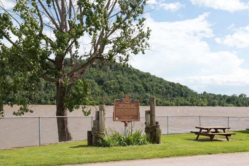
2. Virginia Military District Marker
The Ohio River is in the background with Kentucky hills in the distance.
Photographed by William E. Peters Ohio Lands and Their Subdivisions, p 107, 1918
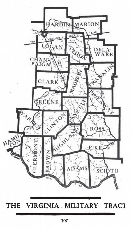
3. Virginia Military Tract of the historic Ohio Lands
Superimposed on this map are Ohio’s present-day counties.
Credits. This page was last revised on July 11, 2019. It was originally submitted on July 11, 2019, by J. J. Prats of Powell, Ohio. This page has been viewed 1,213 times since then and 81 times this year. Photos: 1, 2, 3. submitted on July 11, 2019, by J. J. Prats of Powell, Ohio.
