Near Albany in Clinton County, Kentucky — The American South (East South Central)
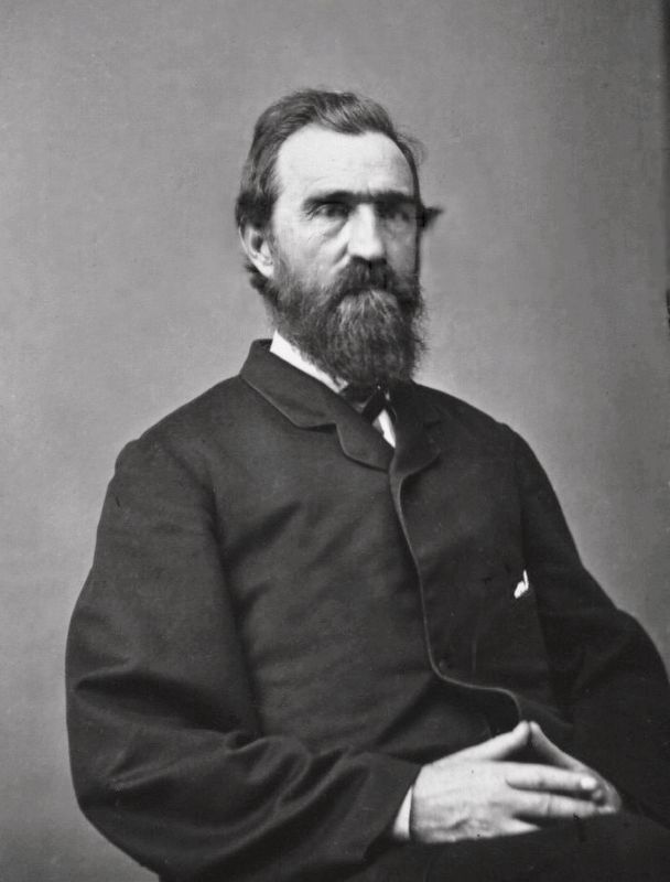
Governor's Birthplace
Erected by Kentucky Historical Society, Kentucky Department of Highways. (Marker Number 1306.)
Topics and series. This historical marker is listed in this topic list: War, US Civil. In addition, it is included in the Kentucky Historical Society series list. A significant historical date for this entry is January 3, 1817.
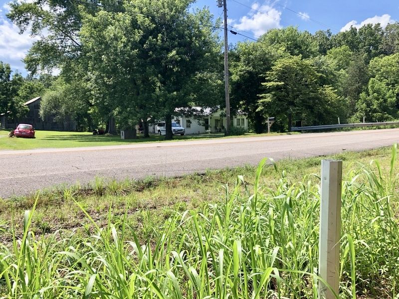
Location. Marker is missing. It was located near 36° 39.219′ N, 85° 6.54′ W. Marker was near Albany, Kentucky, in Clinton County. Marker could be reached from South Clearfork Road, 0.3 miles north of Cedar Knob Road (Kentucky Route 969), on the right when traveling north. Touch for map. Marker was at or near this postal address: South Clearfork Road, Albany KY 42602, United States of America. Touch for directions.
Other nearby markers. At least 8 other markers are within 8 miles of this location, measured as the crow flies. Clear Fork Baptist Church (approx. 1.8 miles away); Pioneer Settler (approx. 2.9 miles away); Courthouse Burned (approx. 2.9 miles away); County Named, 1835 (approx. 2.9 miles away); Civil War Terrorist (approx. 3 miles away); The Burning of Hale's Mill (approx. 3˝ miles away in Tennessee); Cordell Hull (approx. 6.7 miles away in Tennessee); Affair at Travisville (approx. 7.8 miles away in Tennessee). Touch for a list and map of all markers in Albany.
Also see . . . Kentucky Historical Society about Thomas Bramlette. (Submitted on July 12, 2019, by Mark Hilton of Montgomery, Alabama.)
Credits. This page was last revised on November 19, 2019. It was originally submitted on July 12, 2019, by Mark Hilton of Montgomery, Alabama. This page has been viewed 124 times since then and 13 times this year. Photos: 1, 2, 3. submitted on July 12, 2019, by Mark Hilton of Montgomery, Alabama.
Editor’s want-list for this marker. Photo of marker. • Can you help?


