Elizabethtown in Lancaster County, Pennsylvania — The American Northeast (Mid-Atlantic)
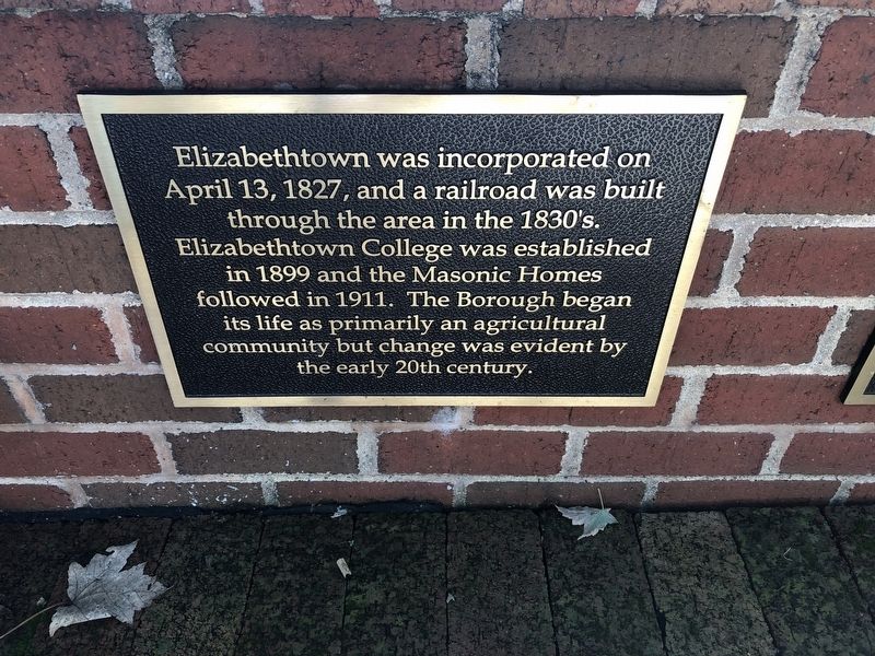
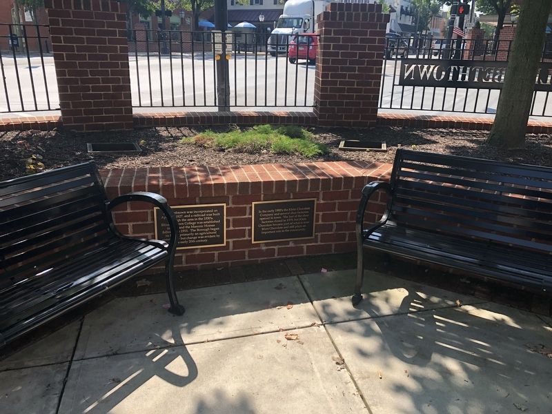
Changes in Elizabethtown
Topics. This historical marker is listed in these topic lists: Education • Fraternal or Sororal Organizations • Railroads & Streetcars • Settlements & Settlers. A significant historical date for this entry is April 13, 1827.
Location. 40° 9.087′ N, 76° 36.348′ W. Marker is in Elizabethtown, Pennsylvania, in Lancaster County. Marker can be reached from the intersection of North Market Street (Pennsylvania Route 743) and West High Street (Pennsylvania Route 241), on the right when traveling north. Touch for map. Marker is at or near this postal address: 1 North Market Street, Elizabethtown PA 17022, United States of America. Touch for directions.
Other nearby markers. At least 8 other markers are within walking distance of this marker. Industry in Elizabethtown (here, next to this marker); Barnabas and Elizabeth Hughes (within shouting distance of this marker); Design of Elizabethtown (within shouting distance of this marker); Elizabethtown (within shouting distance of this marker); The Shoe Industry in Elizabethtown (about 400 feet away, measured in a direct line); In Memoriam (approx. ¼ mile away); Elizabeth Area Veterans Memorial (approx. 0.3 miles away); Millstone Plaza History (approx. 0.4 miles away). Touch for a list and map of all markers in Elizabethtown.
Credits. This page was last revised on July 13, 2019. It was originally submitted on July 13, 2019, by Devry Becker Jones of Washington, District of Columbia. This page has been viewed 154 times since then and 19 times this year. Photos: 1, 2. submitted on July 13, 2019, by Devry Becker Jones of Washington, District of Columbia.

