Manheim Township near Lancaster in Lancaster County, Pennsylvania — The American Northeast (Mid-Atlantic)
David M. Mayer House
1867
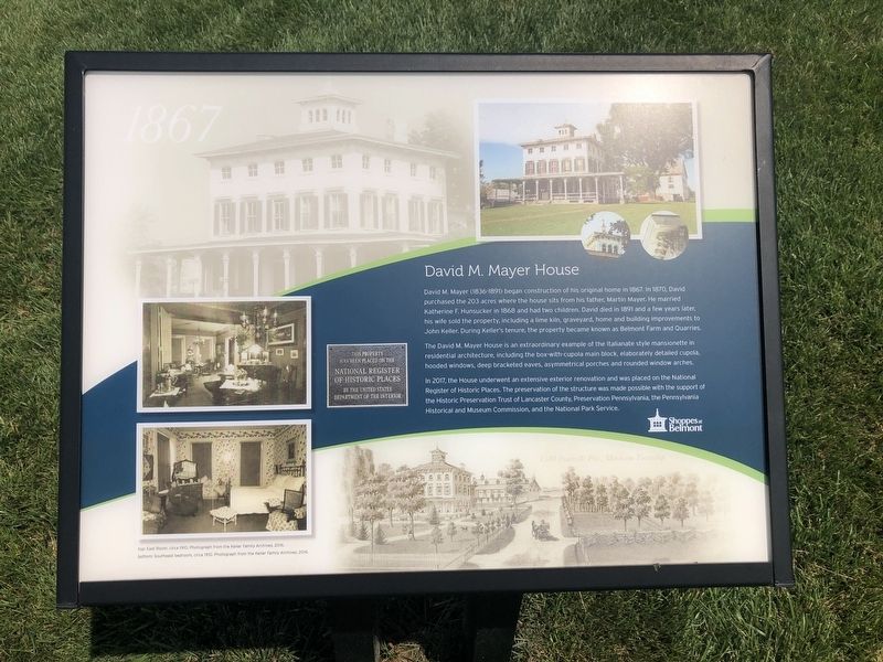
David M. Mayer (1836-1891) began construction of his original home in 1867. In 1870, David purchased the 203 acres where the house sits from his father, Martin Mayer. He married Katherine F. Hunsucker in 1868 and had two children. David dies in 1891 and a few years later, his wife sold the property, including a lime kiln, graveyard, home and building improvements to John Keller. During Keller's tenure, the property became known as Belmont Farm and Quarries.
The David M. Mayer House is an extraordinary example of the Italianate style mansionette in residential architecture, including the box-with-cupola main block, elaborately detailed cupola, hooded windows, deep bracketed eaves, asymmetrical porches and rounded window arches.
In 2017, the House underwent an extensive exterior renovation and was placed on the National Register of Historic Places. The preservation of the structure was made possible with the support of the Historic Preservation Trust of Lancaster County, Preservation Pennsylvania, the Pennsylvania Historical and Museum Commission, and the National Park Service.
Erected by Shoppes at Belmont.
this page online
Topics. This historical marker is listed in these topic lists: Architecture • Notable Buildings. A significant historical year for this entry is 1867.
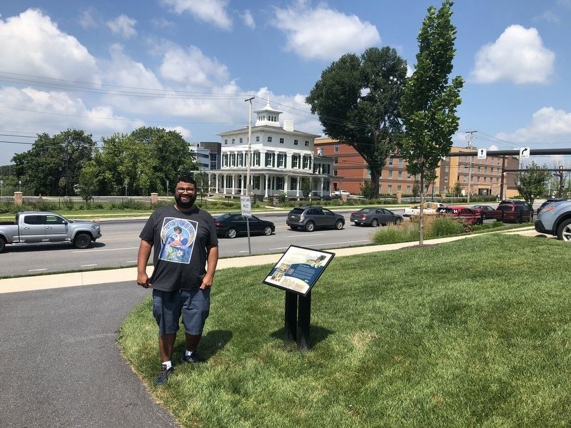
Location. 40° 3.879′ N, 76° 18.86′ W. Marker is near Lancaster, Pennsylvania, in Lancaster County. It is in Manheim Township. It can be reached from Fruitville Pike south of U.S. 30, on the left when traveling south. Touch for map. Marker is at or near this postal address: 1573 Fruitville Pike, Lancaster PA 17601, United States of America. Touch for directions.

Regionally, this marker is in South-Central Pennsylvania, specifically in Pennsylvania Dutch Country, and in the Susquehanna Valley. It is also in the American Northeast and in the Mid-Atlantic. Globally, it is in North America, the Western Hemisphere, the Western World, and the Anglosphere. Historically, it finds itself in what was once the Haudenosaunee (Iroquois) Confederacy and also one of the original Thirteen Colonies.
Other nearby markers. At least 8 other markers are within walking distance of this marker: Mayer Cemetery (about 400 feet away, measured in a direct line); Belmont Quarry (approx. 0.2 miles
Credits. This page was last revised on February 15, 2026. It was originally submitted on July 13, 2019, by Devry Becker Jones of Washington, District of Columbia. This page has been viewed 1,018 times since then and 72 times this year. Photos: 1, 2. submitted on July 13, 2019, by Devry Becker Jones of Washington, District of Columbia.
