Near Elizabethtown in Essex County, New York — The American Northeast (Mid-Atlantic)
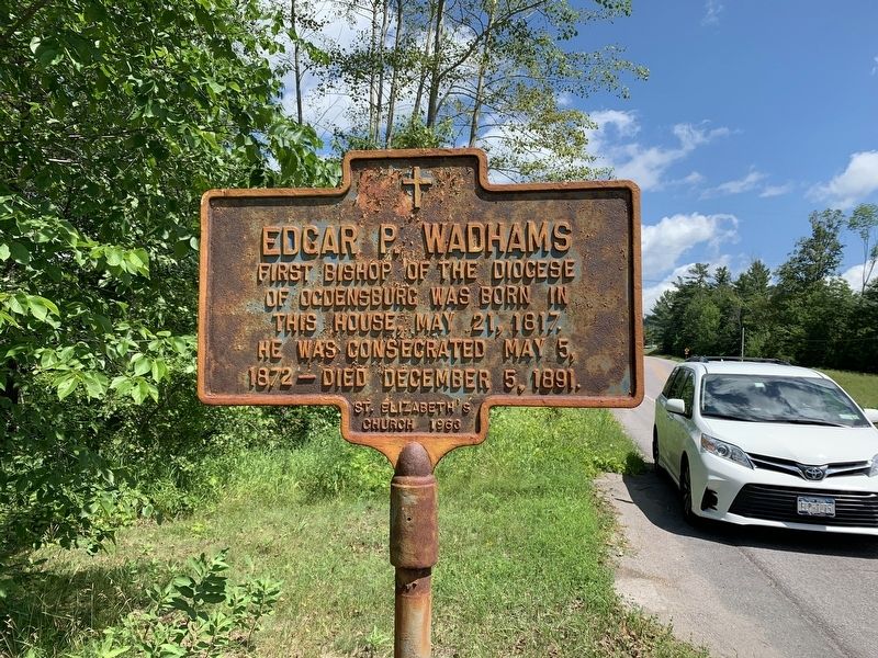
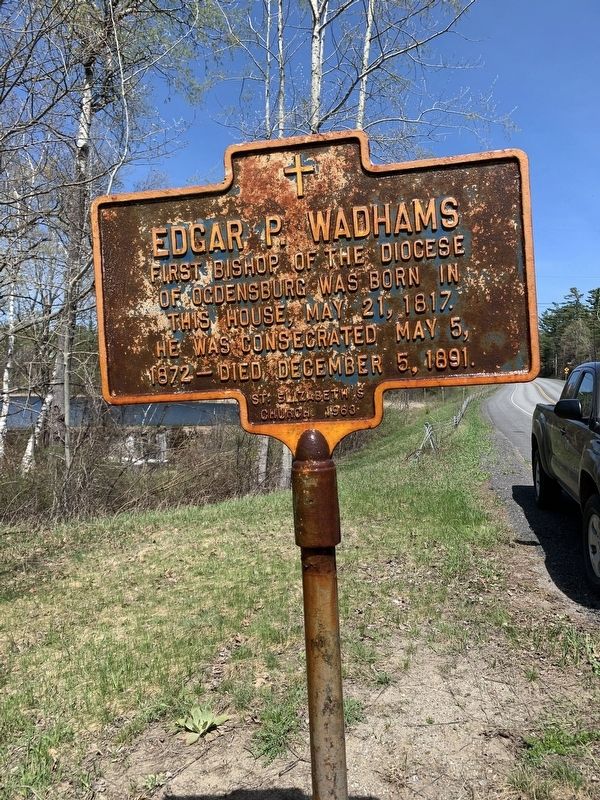
Edgar P. Wadhams
Erected 1963 by St. Elizabeth’s Church.
Topics. This historical marker is listed in this topic list: Churches & Religion. A significant historical date for this entry is May 21, 1817.
Location. 44° 14.304′ N, 73° 34.247′ W. Marker is near Elizabethtown, New York, in Essex County. Marker is on U.S. 9, on the left when traveling north. Touch for map. Marker is in this post office area: Elizabethtown NY 12932, United States of America. Touch for directions.
Other nearby markers. At least 8 other markers are within 6 miles of this marker, measured as the crow flies. John Brown’s Body (approx. 2.1 miles away); Elizabethtown War Memorials (approx. 2.1 miles away); Maccabee Hall and Other Lewis Landmarks (approx. 2˝ miles away); Lewis Hotel and Central School (approx. 2.6 miles away); Inez Milholland (approx. 2.6 miles away); Atlas F Missle Silo Site in Lewis, NY and War Veterans (approx. 2.7 miles away); Town of Lewis Veterans Park (approx. 2.7 miles away); Toll-Gate House (approx. 5.4 miles away). Touch for a list and map of all markers in Elizabethtown.
Credits. This page was last revised on April 28, 2023. It was originally submitted on July 13, 2019, by Steve Stoessel of Niskayuna, New York. This page has been viewed 241 times since then and 29 times this year. Photos: 1. submitted on July 13, 2019, by Steve Stoessel of Niskayuna, New York. 2. submitted on April 28, 2023, by Donna L Haynes of Essex, New York. 3. submitted on July 14, 2019, by Steve Stoessel of Niskayuna, New York. • Andrew Ruppenstein was the editor who published this page.


