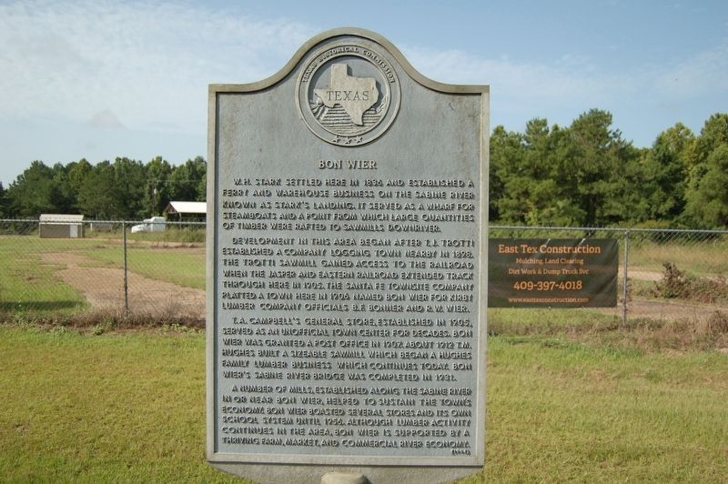
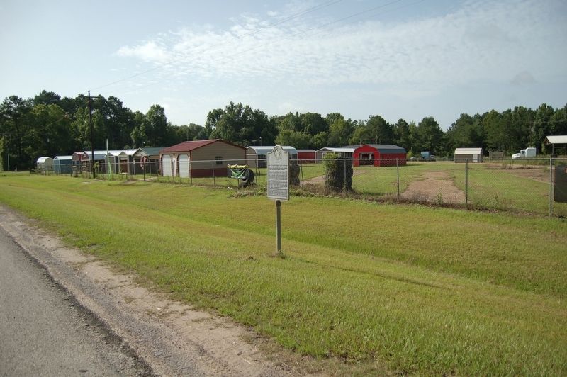
Bon Wier
W. H. Stark settled here in 1836 and established a ferry and warehouse business on the Sabine River known as Stark's Landing. It served as a wharf for steamboats and a point from which large quantities of timber were rafted to sawmills downriver.
Development in this area began after T. J. Trotti established a company logging town nearby in 1898. The Trotti Sawmill gained access to the railroad when the Jasper and Eastern Railroad extended track through here in 1905. The Santa Fe Townsite Company platted a town here in 1906 named Bon Wier for Kirby Lumber Company officials B. F. Bonner and R. W. Wier.
T. A. Campbell's General Store, established in 1905, served as an unofficial town center for decades. Bon Wier was granted a post office in 1907. About 1912 T. M. Hughes built a sizeable sawmill which began a Hughes family lumber business which continues today. Bon Wier's Sabine River Bridge was completed in 1931.
A number of mills, established along the Sabine River in or near Bon Wier, helped to sustain the town's economy. Bon Wier boasted several stores and its own school system until 1956. Although lumber activity continues in the area, Bon Wier is supported by a thriving farm, market, and commercial river economy.
Erected 1994 by Texas Historical Commission. (Marker Number 11103.)
Topics. This historical marker is listed in these topic lists: Industry & Commerce • Settlements & Settlers.
Location. 30° 44.422′ N, 93° 38.864′ W. Marker is in Bon Wier, Texas, in Newton County. Marker is at the intersection of U.S. 190 and County Road 2001, on the left when traveling west on U.S. 190. Touch for map. Marker is in this post office area: Bon Wier TX 75928, United States of America. Touch for directions.
Other nearby markers. At least 8 other markers are within 7 miles of this marker, measured as the crow flies. Inman Cemetery (approx. 2 miles away); Ford Chapel, Cemetery, and School (approx. 3.6 miles away); Site of the Coushatta Indian Village (approx. 6.2 miles away in Louisiana); The Atakapa-Coushatta Trace (approx. 6.2 miles away in Louisiana); Charles "Leather Bitches" Smith (approx. 6.4 miles away in Louisiana); Sam Houston Jones (approx. 6.4 miles away in Louisiana); Burk's Log Cabin (approx. 6.4 miles away in Louisiana); Leather Britches (approx. 6.4 miles away in Louisiana).
Credits. This page was last revised on June 2, 2023. It was originally submitted on July 14, 2019, by Cajun Scrambler of Assumption, Louisiana. This page has been viewed 616 times since then and 95 times this year. Photos: 1, 2. submitted on July 14, 2019.

